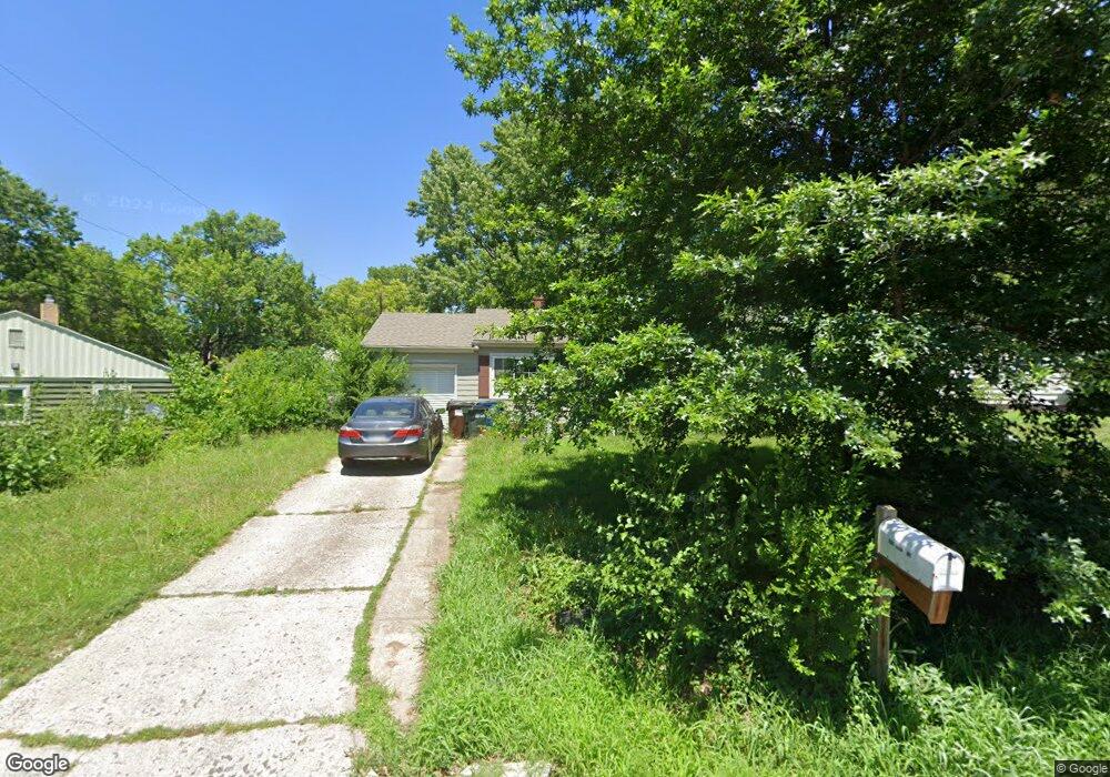
408 Utah St Lawrence, KS 66046
Park Hill NeighborhoodEstimated Value: $259,000 - $301,000
4
Beds
2
Baths
1,396
Sq Ft
$197/Sq Ft
Est. Value
About This Home
This home is located at 408 Utah St, Lawrence, KS 66046 and is currently estimated at $274,898, approximately $196 per square foot. 408 Utah St is a home located in Douglas County with nearby schools including Billy Mills Middle School, Lawrence High School, and St. John Catholic School.
Ownership History
Date
Name
Owned For
Owner Type
Purchase Details
Closed on
Sep 24, 2005
Sold by
Norcross Jody Wayne and Norcross Lavonda A
Bought by
Cook Daniel R and Cook Daniel Richard
Current Estimated Value
Home Financials for this Owner
Home Financials are based on the most recent Mortgage that was taken out on this home.
Original Mortgage
$124,594
Outstanding Balance
$40,818
Interest Rate
5.76%
Mortgage Type
Fannie Mae Freddie Mac
Estimated Equity
$234,080
Purchase Details
Closed on
Feb 16, 2001
Sold by
Marks Paul Edward and White Sharon
Bought by
Norcross Jody Wayne and Norcross Lavonda A
Home Financials for this Owner
Home Financials are based on the most recent Mortgage that was taken out on this home.
Original Mortgage
$100,621
Interest Rate
7.04%
Mortgage Type
Purchase Money Mortgage
Create a Home Valuation Report for This Property
The Home Valuation Report is an in-depth analysis detailing your home's value as well as a comparison with similar homes in the area
Home Values in the Area
Average Home Value in this Area
Purchase History
| Date | Buyer | Sale Price | Title Company |
|---|---|---|---|
| Cook Daniel R | -- | Commerce Title | |
| Cook Daniel R | -- | Commerce Title | |
| Norcross Jody Wayne | -- | Commerce Title |
Source: Public Records
Mortgage History
| Date | Status | Borrower | Loan Amount |
|---|---|---|---|
| Open | Cook Daniel R | $124,594 | |
| Closed | Cook Daniel R | $124,594 | |
| Previous Owner | Norcross Jody Wayne | $100,621 |
Source: Public Records
Tax History Compared to Growth
Tax History
| Year | Tax Paid | Tax Assessment Tax Assessment Total Assessment is a certain percentage of the fair market value that is determined by local assessors to be the total taxable value of land and additions on the property. | Land | Improvement |
|---|---|---|---|---|
| 2025 | $3,416 | $29,118 | $8,050 | $21,068 |
| 2024 | $3,416 | $27,968 | $7,475 | $20,493 |
| 2023 | $3,129 | $24,599 | $5,175 | $19,424 |
| 2022 | $2,860 | $22,362 | $4,600 | $17,762 |
| 2021 | $2,535 | $19,113 | $4,368 | $14,745 |
| 2020 | $2,394 | $18,159 | $4,368 | $13,791 |
| 2019 | $2,232 | $16,974 | $3,798 | $13,176 |
| 2018 | $2,181 | $16,468 | $3,571 | $12,897 |
| 2017 | $2,158 | $16,121 | $3,571 | $12,550 |
| 2016 | $1,978 | $15,456 | $4,025 | $11,431 |
| 2015 | -- | $15,824 | $4,025 | $11,799 |
| 2014 | -- | $16,687 | $4,025 | $12,662 |
Source: Public Records
Map
Nearby Homes
- 731 W 25th St
- 2622 Alabama St
- 2301 Massachusetts St
- 2234 Tennessee St
- 1114 W 25th St
- 2439 Jasu Dr
- 2045 Massachusetts St
- 1214 W 29th Ct
- 2106 Rhode Island St
- 2042 New Hampshire St
- 1950 Barker Ave
- 1834 W 27th Terrace
- 1831 Mississippi St
- 1800 Mississippi St
- 1824 New Hampshire St
- 1807 Alabama St
- 2717 Ponderosa Dr
- 1742 Alabama St
- 1620 W 20th Terrace