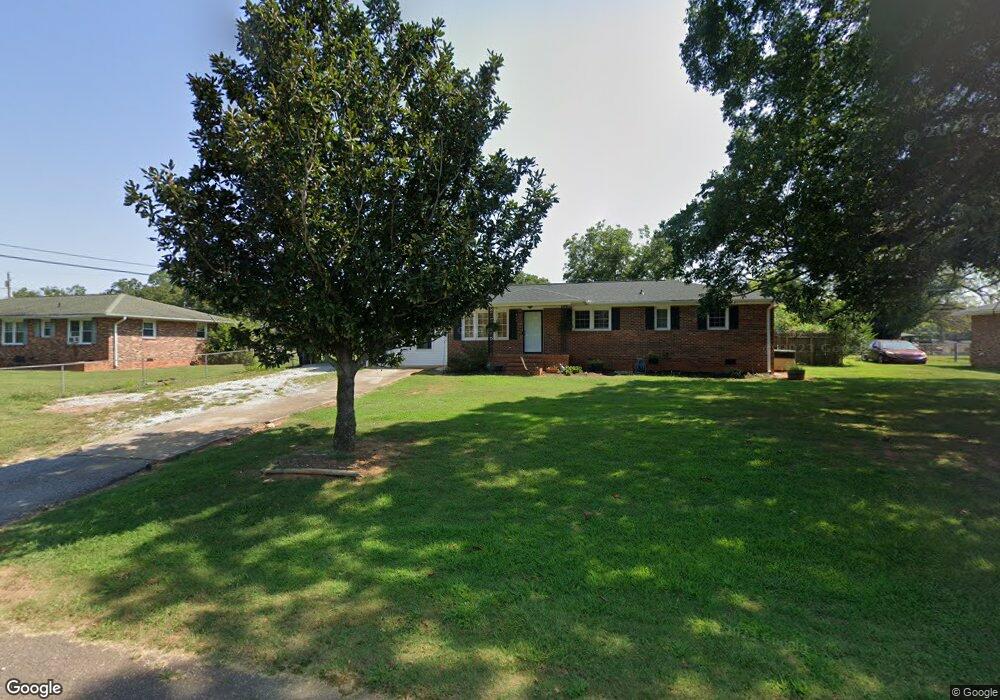
409 Chauga Dr Anderson, SC 29626
Estimated Value: $190,000 - $222,000
--
Bed
--
Bath
1,548
Sq Ft
$134/Sq Ft
Est. Value
About This Home
This home is located at 409 Chauga Dr, Anderson, SC 29626 and is currently estimated at $207,490, approximately $134 per square foot. 409 Chauga Dr is a home located in Anderson County with nearby schools including McLees Elementary School, Robert Anderson Middle School, and Westside High School.
Ownership History
Date
Name
Owned For
Owner Type
Purchase Details
Closed on
Oct 23, 2023
Sold by
Brown Rebecca J
Bought by
Queen Cody B
Current Estimated Value
Home Financials for this Owner
Home Financials are based on the most recent Mortgage that was taken out on this home.
Original Mortgage
$183,612
Outstanding Balance
$180,001
Interest Rate
7.12%
Mortgage Type
FHA
Estimated Equity
$27,489
Purchase Details
Closed on
Jul 9, 2004
Sold by
Boggs Builders Inc
Bought by
Brown Rebecca J
Create a Home Valuation Report for This Property
The Home Valuation Report is an in-depth analysis detailing your home's value as well as a comparison with similar homes in the area
Home Values in the Area
Average Home Value in this Area
Purchase History
| Date | Buyer | Sale Price | Title Company |
|---|---|---|---|
| Queen Cody B | $187,000 | South Carolina Title | |
| Queen Cody B | $187,000 | South Carolina Title | |
| Brown Rebecca J | $83,000 | -- |
Source: Public Records
Mortgage History
| Date | Status | Borrower | Loan Amount |
|---|---|---|---|
| Open | Queen Cody B | $183,612 | |
| Closed | Queen Cody B | $183,612 |
Source: Public Records
Tax History Compared to Growth
Tax History
| Year | Tax Paid | Tax Assessment Tax Assessment Total Assessment is a certain percentage of the fair market value that is determined by local assessors to be the total taxable value of land and additions on the property. | Land | Improvement |
|---|---|---|---|---|
| 2024 | $954 | $7,600 | $600 | $7,000 |
| 2023 | $954 | $4,220 | $600 | $3,620 |
| 2022 | $546 | $4,220 | $600 | $3,620 |
| 2021 | $509 | $3,870 | $600 | $3,270 |
| 2020 | $503 | $3,870 | $600 | $3,270 |
| 2019 | $503 | $3,870 | $600 | $3,270 |
| 2018 | $511 | $3,870 | $600 | $3,270 |
| 2017 | -- | $3,870 | $600 | $3,270 |
| 2016 | $502 | $3,470 | $480 | $2,990 |
| 2015 | $462 | $3,470 | $480 | $2,990 |
| 2014 | $457 | $3,470 | $480 | $2,990 |
Source: Public Records
Map
Nearby Homes
- 415 Chauga Dr
- 203 Fernwood Cir
- 209 Hazelwood Ave Unit Lot 12 Block A
- 205 Hazelwood Ave Unit Lot 10 Block A
- 209 and 205 Hazelwood Ave Unit Lots 12 (209) & 10 (
- 202 Hazelwood Ave
- 2403 Dobbins Bridge Rd
- 636 Jasmin Dr
- 423 Greenmeadow Cir
- 307 Beaty Square
- 2521 W Whitner St
- 417 Westwood Dr
- 112 Flowe Rd
- 222 Hillcrest Cir
- 1205 W Franklin St
- 114 Hillcrest Cir Unit A
- 114 Hillcrest Cir
- 1328 Marne St
- 211 Richey St
- 0000 Pearman Dairy Rd