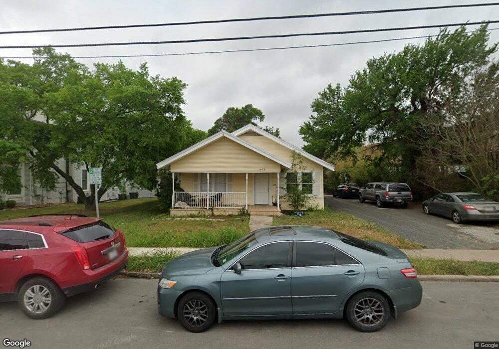
409 North St San Marcos, TX 78666
Estimated Value: $403,000 - $654,000
--
Bed
--
Bath
2,006
Sq Ft
$271/Sq Ft
Est. Value
About This Home
This home is located at 409 North St, San Marcos, TX 78666 and is currently estimated at $543,284, approximately $270 per square foot. 409 North St is a home located in Hays County with nearby schools including Crockett Elementary School, Dorris Miller Middle School, and San Marcos High School.
Ownership History
Date
Name
Owned For
Owner Type
Purchase Details
Closed on
May 9, 2024
Sold by
Burttschell Daryl and Burttschell Heather
Bought by
409 North Street Llc
Current Estimated Value
Purchase Details
Closed on
Dec 6, 2008
Sold by
Musgrave Alvin W
Bought by
Burttschell Daryl and Burttschell Heather
Home Financials for this Owner
Home Financials are based on the most recent Mortgage that was taken out on this home.
Original Mortgage
$131,250
Interest Rate
7.25%
Mortgage Type
Purchase Money Mortgage
Create a Home Valuation Report for This Property
The Home Valuation Report is an in-depth analysis detailing your home's value as well as a comparison with similar homes in the area
Home Values in the Area
Average Home Value in this Area
Purchase History
| Date | Buyer | Sale Price | Title Company |
|---|---|---|---|
| 409 North Street Llc | -- | Austin Title Company | |
| Burttschell Daryl | -- | Independence Title |
Source: Public Records
Mortgage History
| Date | Status | Borrower | Loan Amount |
|---|---|---|---|
| Previous Owner | Burttschell Daryl | $131,250 |
Source: Public Records
Tax History Compared to Growth
Tax History
| Year | Tax Paid | Tax Assessment Tax Assessment Total Assessment is a certain percentage of the fair market value that is determined by local assessors to be the total taxable value of land and additions on the property. | Land | Improvement |
|---|---|---|---|---|
| 2025 | $11,507 | $579,110 | $310,510 | $268,600 |
| 2024 | $11,507 | $584,620 | $310,510 | $274,110 |
| 2023 | $11,015 | $579,110 | $310,510 | $268,600 |
| 2022 | $10,311 | $503,130 | $263,150 | $239,980 |
| 2021 | $9,081 | $412,020 | $197,360 | $214,660 |
| 2020 | $8,839 | $401,010 | $197,360 | $203,650 |
| 2019 | $8,173 | $332,000 | $166,130 | $165,870 |
| 2018 | $1,917 | $77,530 | $77,530 | $0 |
| 2017 | $1,864 | $77,530 | $77,530 | $0 |
| 2016 | $1,864 | $77,530 | $77,530 | $0 |
| 2015 | $3,812 | $77,530 | $77,530 | $0 |
Source: Public Records
Map
Nearby Homes
- 506 W San Antonio St Unit 205
- Tbd Hugo Rd
- 421 W San Antonio St Unit I-3
- 421 W San Antonio St Unit E-4
- 420 Salamander St
- 120 Rosa Rd
- 527 W San Antonio St
- 121 Scott St
- 821 Old Ranch Road 12
- 214 Jackman St
- 1102 Academy St
- 801 Johns St
- 833 Belvin St
- 321 S L B J Dr
- 206 Yale St
- 809-811 Perkins St
- 905 N Lbj Dr
- 1013 Chestnut St
- 1013 Chestnut St Unit 6
- 1013 Chestnut St Unit Building C, Unit 5
- 0 N A Rr 12 Unit 3802090
- 403 North St
- 419 North St
- 413 Lindsey St
- 413 Lindsey St
- 412 Burleson St
- 412 Burleson St Unit 122
- 412 Burleson St Unit 101
- 412 Burleson St Unit 103
- 412 Burleson St Unit 121
- 412 Burleson St Unit 102
- 412 Burleson St
- 412 Burleson St Unit 123
- 421 Lindsey St
- 410 Burleson St
- 410 Burleson St Unit 102
- 427 Lindsey St
- 427 Lindsey St
- 427 Lindsey St Unit 111
- 427 Lindsey St Unit 122