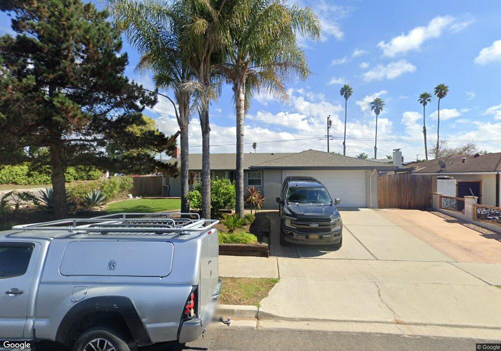
4091 Polaris Ave Lompoc, CA 93436
Estimated Value: $548,272 - $621,000
3
Beds
2
Baths
1,666
Sq Ft
$352/Sq Ft
Est. Value
About This Home
This home is located at 4091 Polaris Ave, Lompoc, CA 93436 and is currently estimated at $586,818, approximately $352 per square foot. 4091 Polaris Ave is a home located in Santa Barbara County with nearby schools including Buena Vista Elementary School, Cabrillo High School, and Olive Grove Charter - Lompoc.
Ownership History
Date
Name
Owned For
Owner Type
Purchase Details
Closed on
Jul 21, 2000
Sold by
Arp Catherine H
Bought by
Arp Andrew P
Current Estimated Value
Home Financials for this Owner
Home Financials are based on the most recent Mortgage that was taken out on this home.
Original Mortgage
$163,903
Interest Rate
8.19%
Mortgage Type
FHA
Purchase Details
Closed on
May 31, 1996
Sold by
Lomeli Ernesto and Lomeli Susan E
Bought by
Arp Andrew P
Home Financials for this Owner
Home Financials are based on the most recent Mortgage that was taken out on this home.
Original Mortgage
$64,000
Interest Rate
8.39%
Mortgage Type
Balloon
Create a Home Valuation Report for This Property
The Home Valuation Report is an in-depth analysis detailing your home's value as well as a comparison with similar homes in the area
Home Values in the Area
Average Home Value in this Area
Purchase History
| Date | Buyer | Sale Price | Title Company |
|---|---|---|---|
| Arp Andrew P | -- | Chicago Title Co | |
| Osorio Jose M | $165,000 | Chicago Title Co | |
| Arp Andrew P | $130,000 | First American Title |
Source: Public Records
Mortgage History
| Date | Status | Borrower | Loan Amount |
|---|---|---|---|
| Previous Owner | Osorio Jose M | $163,903 | |
| Previous Owner | Arp Andrew P | $64,000 |
Source: Public Records
Tax History Compared to Growth
Tax History
| Year | Tax Paid | Tax Assessment Tax Assessment Total Assessment is a certain percentage of the fair market value that is determined by local assessors to be the total taxable value of land and additions on the property. | Land | Improvement |
|---|---|---|---|---|
| 2025 | $3,575 | $297,394 | $97,932 | $199,462 |
| 2023 | $3,575 | $285,847 | $94,130 | $191,717 |
| 2022 | $3,521 | $280,243 | $92,285 | $187,958 |
| 2021 | $3,558 | $274,749 | $90,476 | $184,273 |
| 2020 | $3,523 | $271,933 | $89,549 | $182,384 |
| 2019 | $3,472 | $266,602 | $87,794 | $178,808 |
| 2018 | $3,425 | $261,375 | $86,073 | $175,302 |
| 2017 | $3,279 | $256,251 | $84,386 | $171,865 |
| 2016 | $2,954 | $251,228 | $82,732 | $168,496 |
| 2014 | $2,892 | $242,609 | $79,894 | $162,715 |
Source: Public Records
Map
Nearby Homes
- 4108 Constellation Rd
- 4139 Constellation Rd Unit 2
- 252 Pegasus Ave
- 129 Hercules Ave
- 113 Gemini Ave
- 3951 Mesa Circle Dr
- 4490 Sirius Ave
- 4021 Muirfield Place
- 52 Stanford Cir
- 3939 Saturn Ave
- 298 Saint Andrews Way
- 210 Oak Hill Dr
- 0 Oak Hill Dr Unit 24-783
- 240 Oak Hill Dr
- 384 Falcon Crest Dr
- 4464 Greenbrier Rd
- 561 Andromeda Dr
- 445 Firestone Way
- 579 Saint Andrews Way
- 3725 Jupiter Ave
- 4083 Polaris Ave
- 4092 Constellation Rd
- 4109 Polaris Ave
- 4075 Polaris Ave
- 228 Aldebaran Ave
- 4076 Constellation Rd
- 235 Regulus Ave
- 4067 Polaris Ave Unit 1
- 227 Aldebaran Ave
- 4115 Polaris Ave
- 232 Aldebaran Ave
- 4070 Constellation Rd
- 241 Regulus Ave
- 233 Aldebaran Ave
- 4059 Polaris Ave
- 4125 Polaris Ave
- 4091 Constellation Rd
- 224 Orion Ave