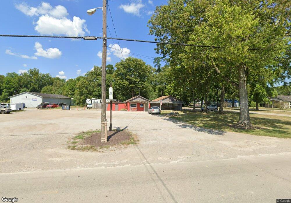
4095 Round Bottom Rd Cincinnati, OH 45244
Studio
--
Bath
2,107
Sq Ft
56,192
Sq Ft
About This Home
This home is located at 4095 Round Bottom Rd, Cincinnati, OH 45244. 4095 Round Bottom Rd is a home located in Hamilton County with nearby schools including Mercer Elementary School, Nagel Middle School, and Turpin High School.
Ownership History
Date
Name
Owned For
Owner Type
Purchase Details
Closed on
Oct 29, 2010
Sold by
Kidd John E
Bought by
Roundbottom Enterprises Llc
Home Financials for this Owner
Home Financials are based on the most recent Mortgage that was taken out on this home.
Original Mortgage
$191,640
Interest Rate
4.36%
Mortgage Type
Seller Take Back
Purchase Details
Closed on
Aug 27, 2005
Sold by
Lawson Edgar
Bought by
Kidd John E
Create a Home Valuation Report for This Property
The Home Valuation Report is an in-depth analysis detailing your home's value as well as a comparison with similar homes in the area
Home Values in the Area
Average Home Value in this Area
Purchase History
| Date | Buyer | Sale Price | Title Company |
|---|---|---|---|
| Roundbottom Enterprises Llc | $85,000 | Attorney | |
| Kidd John E | $75,000 | None Available |
Source: Public Records
Mortgage History
| Date | Status | Borrower | Loan Amount |
|---|---|---|---|
| Closed | Roundbottom Enterprises Llc | $191,640 |
Source: Public Records
Tax History
| Year | Tax Paid | Tax Assessment Tax Assessment Total Assessment is a certain percentage of the fair market value that is determined by local assessors to be the total taxable value of land and additions on the property. | Land | Improvement |
|---|---|---|---|---|
| 2025 | $3,296 | $31,773 | $12,411 | $19,362 |
| 2024 | $3,292 | $31,773 | $12,411 | $19,362 |
| 2023 | $3,164 | $31,773 | $12,411 | $19,362 |
| 2022 | $3,098 | $31,059 | $11,172 | $19,887 |
| 2021 | $3,092 | $31,059 | $11,172 | $19,887 |
| 2020 | $3,066 | $31,059 | $11,172 | $19,887 |
| 2019 | $3,019 | $29,026 | $10,441 | $18,585 |
| 2018 | $2,887 | $29,026 | $10,441 | $18,585 |
| 2017 | $2,798 | $29,026 | $10,441 | $18,585 |
| 2016 | $2,938 | $30,643 | $11,365 | $19,278 |
| 2015 | $2,887 | $30,643 | $11,365 | $19,278 |
| 2014 | $2,868 | $30,643 | $11,365 | $19,278 |
| 2013 | $2,622 | $29,750 | $11,032 | $18,718 |
Source: Public Records
Map
Nearby Homes
- 0 Pearl St Unit 1225343
- 0 Pearl St Unit 1841806
- 3 Noel Ln
- 3420 Oyster Bay Ct
- 5047 Village Dr
- 2 Mount Carmel Rd
- 7410 Orchard St
- 7412 Orchard St
- 7408 Orchard St
- 7411 Elm St
- 7406 Orchard St
- 11 Spring Hill Dr
- 141 Wrenwood Ln
- 9280 Indian Hill Rd
- 822 Stanton Ave
- 8815 Old Indian Hill Rd
- 3130 Wolf Run Ct
- 4885 Beechwood Rd
- 3758 Miami Run
- 3771 Miami Run
- 4073 Round Bottom Rd Unit 1
- 4073 Round Bottom Rd Unit 5
- 4073 Round Bottom Rd
- 7852 Bilby Ln
- 7881 Bilby Ln
- 7871 Bilby Ln
- 7865 Bilby Ln
- 4113 Round Bottom Rd
- 7859 Bilby Ln
- 4117 Round Bottom Rd
- 7892 Anchor Rd
- 4116 Round Bottom Rd
- 4124 Round Bottom Rd
- 7867 Anchor Rd
- 7893 Anchor Rd
- 7859 Anchor Rd
- 7887 Anchor Rd
- 4130 Round Bottom Rd
- 7850 Bilby Ln
- 4136 Round Bottom Rd
Your Personal Tour Guide
Ask me questions while you tour the home.