40985 Poor Farm Rd North Branch, MN 55056
Estimated Value: $211,000 - $394,000
3
Beds
2
Baths
1,248
Sq Ft
$269/Sq Ft
Est. Value
About This Home
This home is located at 40985 Poor Farm Rd, North Branch, MN 55056 and is currently estimated at $336,325, approximately $269 per square foot. 40985 Poor Farm Rd is a home located in Chisago County with nearby schools including North Branch Middle School, Sunrise River Elementary School, and North Branch Senior High School.
Ownership History
Date
Name
Owned For
Owner Type
Purchase Details
Closed on
Jul 2, 2004
Sold by
Terick Inc
Bought by
Anderson Roger and Anderson Carole
Current Estimated Value
Purchase Details
Closed on
Apr 12, 2002
Sold by
Terick Inc
Bought by
Anderson Roger J and Anderson Carol
Purchase Details
Closed on
Mar 5, 2001
Sold by
Anderson Roger J and Anderson Carole J
Bought by
Mcmahon Faye A and Boyce Cynthia A
Create a Home Valuation Report for This Property
The Home Valuation Report is an in-depth analysis detailing your home's value as well as a comparison with similar homes in the area
Home Values in the Area
Average Home Value in this Area
Purchase History
| Date | Buyer | Sale Price | Title Company |
|---|---|---|---|
| Anderson Roger | $100,000 | -- | |
| Anderson Roger J | $100,000 | -- | |
| Terick Inc | $100,000 | -- | |
| Mcmahon Faye A | $100,000 | -- | |
| Boyce Cynthia A | $20,000 | -- | |
| Boyce Cynthia A | $20,000 | -- | |
| Terick Inc | $20,000 | -- |
Source: Public Records
Mortgage History
| Date | Status | Borrower | Loan Amount |
|---|---|---|---|
| Closed | Anderson Roger J | -- |
Source: Public Records
Tax History Compared to Growth
Tax History
| Year | Tax Paid | Tax Assessment Tax Assessment Total Assessment is a certain percentage of the fair market value that is determined by local assessors to be the total taxable value of land and additions on the property. | Land | Improvement |
|---|---|---|---|---|
| 2023 | $2,804 | $288,000 | $0 | $0 |
| 2022 | $2,596 | $256,700 | $0 | $0 |
| 2021 | $2,450 | $201,900 | $0 | $0 |
| 2020 | $2,444 | $199,600 | $72,300 | $127,300 |
| 2019 | $2,314 | $0 | $0 | $0 |
| 2018 | $2,220 | $0 | $0 | $0 |
| 2017 | $1,986 | $0 | $0 | $0 |
| 2016 | $2,028 | $0 | $0 | $0 |
| 2015 | $2,116 | $0 | $0 | $0 |
| 2014 | -- | $147,800 | $0 | $0 |
Source: Public Records
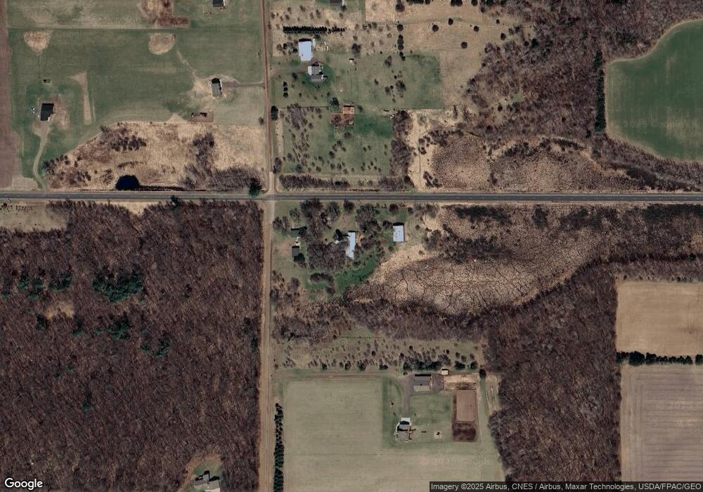
Map
Nearby Homes
- 12214 Sunrise Rd
- 39529 Trulson Rd
- 10869 Haycreek Rd
- TBD Keystone Ave
- Parcel C Keystone Ave
- 2630 320th St
- TBD Keystone Ave
- TBD Joywood Ave
- 15535 375th St
- 16030 Maple Ln
- 9484 Sunrise Rd
- 35887 Oasis Rd
- 15260 360th St
- 149xx 360th St
- 2789 248th Ave
- XX153 River Rd
- 35420 Oasis Rd
- 35713 Patriot Ave
- 35647 Oxford Ave
- 2735 243rd Ave
- 41097 Poor Farm Rd
- 40756 Poor Farm Rd
- 39xxx Poor Farm Rd
- 40xxx Poor Farm Rd
- 41174 Poor Farm Rd
- 12840 410th St
- 41930 Poor Farm Rd
- 12xxx 410th St
- 12xxx 410th St
- 13676 410th St
- 13801 410th St
- 41395 Poor Farm Rd
- XXX 410th St
- 12870 410th St
- 12825 410th St
- 40468 Poor Farm Rd
- 13903 410th St
- 41494 Poor Farm Rd
- 13645 River Rd
- XXX 410th St