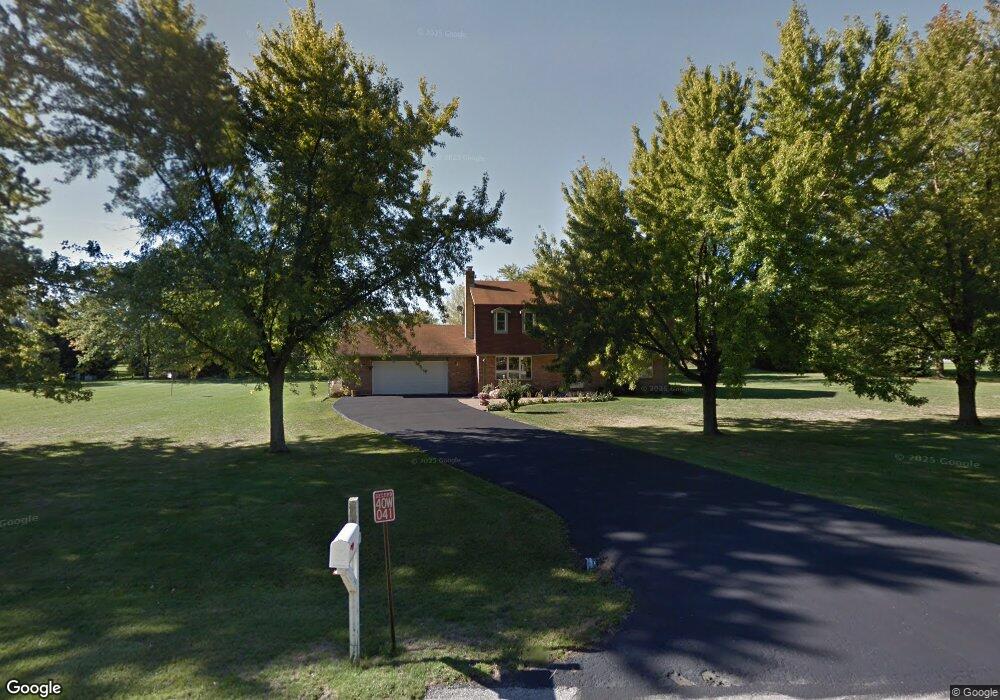
40W041 Sturbridge Way Elgin, IL 60124
Bowes NeighborhoodEstimated Value: $530,000 - $648,000
4
Beds
3
Baths
2,464
Sq Ft
$231/Sq Ft
Est. Value
About This Home
This home is located at 40W041 Sturbridge Way, Elgin, IL 60124 and is currently estimated at $569,682, approximately $231 per square foot. 40W041 Sturbridge Way is a home located in Kane County with nearby schools including Howard B. Thomas Grade School, Prairie Knolls Middle School, and Central Middle School.
Ownership History
Date
Name
Owned For
Owner Type
Purchase Details
Closed on
May 30, 2017
Sold by
Macias Gabriel and Macias Jane
Bought by
Evenson Tiffany N and Evenson Daniel B
Current Estimated Value
Home Financials for this Owner
Home Financials are based on the most recent Mortgage that was taken out on this home.
Original Mortgage
$319,113
Outstanding Balance
$268,850
Interest Rate
4.5%
Mortgage Type
FHA
Estimated Equity
$300,832
Create a Home Valuation Report for This Property
The Home Valuation Report is an in-depth analysis detailing your home's value as well as a comparison with similar homes in the area
Home Values in the Area
Average Home Value in this Area
Purchase History
| Date | Buyer | Sale Price | Title Company |
|---|---|---|---|
| Evenson Tiffany N | $325,000 | First American Title |
Source: Public Records
Mortgage History
| Date | Status | Borrower | Loan Amount |
|---|---|---|---|
| Open | Evenson Tiffany N | $319,113 |
Source: Public Records
Tax History Compared to Growth
Tax History
| Year | Tax Paid | Tax Assessment Tax Assessment Total Assessment is a certain percentage of the fair market value that is determined by local assessors to be the total taxable value of land and additions on the property. | Land | Improvement |
|---|---|---|---|---|
| 2024 | $10,286 | $139,533 | $40,535 | $98,998 |
| 2023 | $9,903 | $126,217 | $36,667 | $89,550 |
| 2022 | $9,929 | $120,782 | $35,595 | $85,187 |
| 2021 | $9,492 | $112,767 | $34,388 | $78,379 |
| 2020 | $9,466 | $110,740 | $33,770 | $76,970 |
| 2019 | $9,472 | $109,308 | $33,333 | $75,975 |
| 2018 | $9,463 | $109,792 | $27,551 | $82,241 |
| 2017 | $7,938 | $98,929 | $26,853 | $72,076 |
| 2016 | $7,893 | $96,582 | $26,216 | $70,366 |
| 2015 | -- | $92,716 | $26,216 | $66,500 |
| 2014 | -- | $91,467 | $26,216 | $65,251 |
| 2013 | -- | $94,732 | $26,664 | $68,068 |
Source: Public Records
Map
Nearby Homes
- 40W156 Sturbridge Way
- 3646 Thornhill Dr
- 3660 Thornhill Dr
- 3689 Thornhill Dr
- 3591 Doral Dr
- 3870 Crooked Creek Dr
- Newcastle Plan at Ponds of Stony Creek - Phase II
- Windsor Plan at Ponds of Stony Creek - Phase II
- Bluestone Plan at Ponds of Stony Creek - Phase II
- 3616 Sahara Rd
- 3587 Sandstone Cir
- 3608 Sandstone Cir
- 3612 Sandstone Cir
- Auburn Plan at Ponds of Stony Creek - Phase II
- Manchester Plan at Ponds of Stony Creek - Phase II
- Normandy Plan at Ponds of Stony Creek - Phase II
- Ridgefield Plan at Ponds of Stony Creek - Phase II
- Oxford Plan at Ponds of Stony Creek - Phase II
- 1210 Falcon Ridge Dr
- 3539 Crosswater Ct
- 8N783 Brimfield Dr
- 40W050 Sturbridge Way
- 40W016 Sturbridge Way
- 40W119 Sturbridge Way
- 3614 Tournament Dr
- 3642 Doral Dr
- 3616 Tournament Dr
- 8N751 Brimfield Dr
- 40W076 Sturbridge Way
- 3618 Tournament Dr
- 3640 Doral Dr
- 8N768 Brimfield Dr
- 40W098 Sturbridge Way
- 40W116 Sturbridge Way
- 3620 Tournament Dr
- 40W155 Sturbridge Way
- 3642 Tournament Dr
- 3613 Tournament Dr
- 3615 Tournament Dr
- 3636 Doral Dr