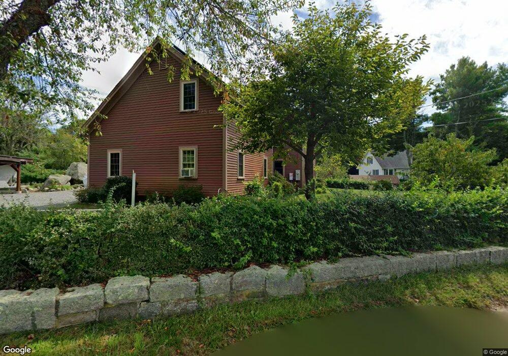
41 Gee Ave Gloucester, MA 01930
Estimated Value: $833,898 - $869,000
3
Beds
2
Baths
2,008
Sq Ft
$427/Sq Ft
Est. Value
About This Home
This home is located at 41 Gee Ave, Gloucester, MA 01930 and is currently estimated at $856,725, approximately $426 per square foot. 41 Gee Ave is a home located in Essex County with nearby schools including Beeman Memorial, Ralph B O'maley Middle School, and Gloucester High School.
Ownership History
Date
Name
Owned For
Owner Type
Purchase Details
Closed on
Dec 2, 2013
Sold by
Jones Mark A and Jones Sarka
Bought by
Jones Sarka
Current Estimated Value
Purchase Details
Closed on
Apr 15, 2005
Sold by
Bernich Cristina M and Bernich Michael J
Bought by
Jones Mark A
Purchase Details
Closed on
Sep 17, 2001
Sold by
Erickson Roy K and Erickson Barbara E
Bought by
Bernich Michael J and Bernich Christina M
Home Financials for this Owner
Home Financials are based on the most recent Mortgage that was taken out on this home.
Original Mortgage
$275,000
Interest Rate
6.99%
Mortgage Type
Purchase Money Mortgage
Create a Home Valuation Report for This Property
The Home Valuation Report is an in-depth analysis detailing your home's value as well as a comparison with similar homes in the area
Purchase History
| Date | Buyer | Sale Price | Title Company |
|---|---|---|---|
| Jones Sarka | -- | -- | |
| Jones Mark A | $435,000 | -- | |
| Bernich Michael J | $395,800 | -- |
Source: Public Records
Mortgage History
| Date | Status | Borrower | Loan Amount |
|---|---|---|---|
| Previous Owner | Bernich Michael J | $500,500 | |
| Previous Owner | Bernich Michael J | $322,700 | |
| Previous Owner | Bernich Michael J | $275,000 | |
| Previous Owner | Bernich Michael J | $125,000 |
Source: Public Records
Tax History
| Year | Tax Paid | Tax Assessment Tax Assessment Total Assessment is a certain percentage of the fair market value that is determined by local assessors to be the total taxable value of land and additions on the property. | Land | Improvement |
|---|---|---|---|---|
| 2025 | $6,978 | $717,900 | $227,400 | $490,500 |
| 2024 | $6,880 | $707,100 | $216,600 | $490,500 |
| 2023 | $6,587 | $622,000 | $193,200 | $428,800 |
| 2022 | $6,381 | $544,000 | $168,100 | $375,900 |
| 2021 | $6,163 | $495,400 | $153,000 | $342,400 |
| 2020 | $6,149 | $498,700 | $153,000 | $345,700 |
| 2019 | $5,912 | $465,900 | $153,000 | $312,900 |
| 2018 | $5,736 | $443,600 | $153,000 | $290,600 |
| 2017 | $5,557 | $421,300 | $145,600 | $275,700 |
| 2016 | $5,471 | $402,000 | $152,000 | $250,000 |
| 2015 | $5,354 | $392,200 | $152,000 | $240,200 |
Source: Public Records
Map
Nearby Homes
- 3 Deacon Farm Ln
- 31 Echo Ave
- 2 Breezy Point Rd
- 672 Washington St
- 13 Honeysuckle Rd
- 13 Mystic Ave
- 8 Mystic Ave
- 98 Maplewood Ave
- 12 Arthur St
- 6 Monroe Ct
- 40 Sargent St
- 9 Cleveland Place
- 19 Trask St Unit 2
- 167 Atlantic St
- 226 Atlantic St
- 178 Atlantic St
- 50 Warner St
- 113 Pleasant St
- 33 Maplewood Ave Unit 310
- 15 Mount Vernon St
Your Personal Tour Guide
Ask me questions while you tour the home.