Estimated Value: $644,000 - $729,000
2
Beds
3
Baths
2,306
Sq Ft
$299/Sq Ft
Est. Value
About This Home
This home is located at 41 Hartland Way, Acton, MA 01720 and is currently estimated at $690,095, approximately $299 per square foot. 41 Hartland Way is a home located in Middlesex County with nearby schools including Acton-Boxborough Regional High School.
Ownership History
Date
Name
Owned For
Owner Type
Purchase Details
Closed on
Feb 22, 2011
Sold by
Deyoe Douglas W and Deyoe Janice A
Bought by
Deyoe Childrens Gift T
Current Estimated Value
Purchase Details
Closed on
Oct 3, 2006
Sold by
Rrv Llc
Bought by
Deyoe Douglas W and Deyoe Janice A
Home Financials for this Owner
Home Financials are based on the most recent Mortgage that was taken out on this home.
Original Mortgage
$399,920
Interest Rate
6.52%
Mortgage Type
Purchase Money Mortgage
Create a Home Valuation Report for This Property
The Home Valuation Report is an in-depth analysis detailing your home's value as well as a comparison with similar homes in the area
Home Values in the Area
Average Home Value in this Area
Purchase History
| Date | Buyer | Sale Price | Title Company |
|---|---|---|---|
| Deyoe Childrens Gift T | -- | -- | |
| Deyoe Douglas W | $499,900 | -- |
Source: Public Records
Mortgage History
| Date | Status | Borrower | Loan Amount |
|---|---|---|---|
| Previous Owner | Deyoe Douglas W | $399,920 |
Source: Public Records
Tax History Compared to Growth
Tax History
| Year | Tax Paid | Tax Assessment Tax Assessment Total Assessment is a certain percentage of the fair market value that is determined by local assessors to be the total taxable value of land and additions on the property. | Land | Improvement |
|---|---|---|---|---|
| 2025 | $11,009 | $641,900 | $0 | $641,900 |
| 2024 | $10,529 | $631,600 | $0 | $631,600 |
| 2023 | $9,937 | $565,900 | $0 | $565,900 |
| 2022 | $10,050 | $516,700 | $0 | $516,700 |
| 2021 | $9,597 | $474,400 | $0 | $474,400 |
| 2020 | $8,752 | $454,900 | $0 | $454,900 |
| 2019 | $8,337 | $430,400 | $0 | $430,400 |
| 2018 | $8,351 | $430,900 | $0 | $430,900 |
| 2017 | $6,782 | $355,800 | $0 | $355,800 |
| 2016 | $7,182 | $373,500 | $0 | $373,500 |
| 2015 | $6,833 | $358,700 | $0 | $358,700 |
| 2014 | $6,885 | $354,000 | $0 | $354,000 |
Source: Public Records
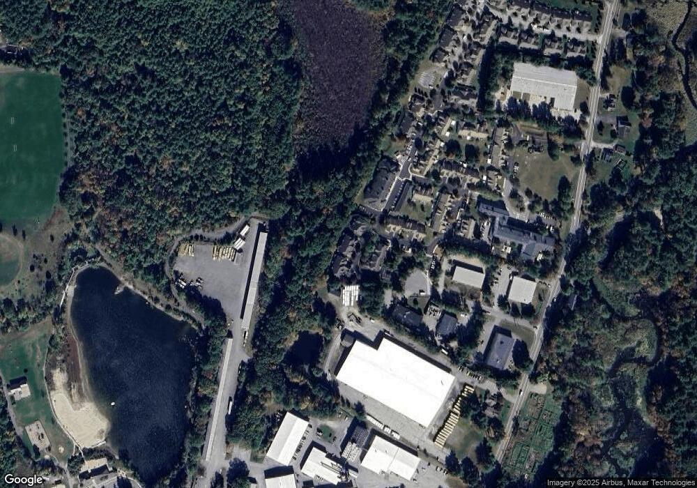
Map
Nearby Homes
- 927 Main St
- 17 Northbriar Rd
- 1 Quarry Rd
- 407 Great Rd Unit 9
- 875 Acton St
- 428 Great Rd Unit 10
- 420 Great Rd Unit B3
- 390 Great Rd Unit A2
- 601 Old Stone Brook
- 386 Great Rd Unit A8
- 484 Great Rd
- 484 Great Rd
- 405 Great Elm Way
- 517 Tumbling Hawk
- 237 Brown Bear Crossing Unit 237
- 16 Wampus Ave Unit 32
- 140 Butternut Hollow Unit 140
- 484 Great Road -3
- 484 Great Road -4
- 484 Great Road -6
- 41 Hartland Way Unit 70
- 47 Hartland Way
- 47 Hartland Way Unit 73
- 39 Hartland Way
- 30 Hartland Way
- 30 Hartland Way Unit 30
- 30 Hartland Way Unit 29, 9
- 1 Devon Dr
- 24 Devon Dr
- 22 Devon Dr
- 4-6 Eastern Rd
- 6 Eastern Rd Unit 6-7
- 6 Eastern Rd Unit 15
- 6 Eastern Rd Unit MR
- 6 Eastern Rd Unit 10
- 6 Eastern Rd Unit 2
- 6 Eastern Rd Unit 4
- 6 Eastern Rd Unit 5
- 6 Eastern Rd Unit 3
- 6 Eastern Rd Unit S3