41 Pointe Trinity Dr Strafford, NH 03884
Estimated Value: $654,000 - $1,173,000
3
Beds
3
Baths
2,703
Sq Ft
$354/Sq Ft
Est. Value
About This Home
This home is located at 41 Pointe Trinity Dr, Strafford, NH 03884 and is currently estimated at $957,243, approximately $354 per square foot. 41 Pointe Trinity Dr is a home located in Strafford County with nearby schools including Strafford School and Coe-Brown Northwood Academy.
Ownership History
Date
Name
Owned For
Owner Type
Purchase Details
Closed on
Aug 2, 2019
Sold by
Ceskavich John D and Ceskavich Risa L
Bought by
Ceskavich Ft
Current Estimated Value
Purchase Details
Closed on
Dec 23, 2014
Sold by
Dempsey Timothy W
Bought by
Barnes Daniel and Barnes Dale Kenison
Purchase Details
Closed on
Feb 10, 2003
Sold by
Camelot T
Bought by
Dempsey Timothy W
Home Financials for this Owner
Home Financials are based on the most recent Mortgage that was taken out on this home.
Original Mortgage
$322,700
Interest Rate
5.99%
Create a Home Valuation Report for This Property
The Home Valuation Report is an in-depth analysis detailing your home's value as well as a comparison with similar homes in the area
Home Values in the Area
Average Home Value in this Area
Purchase History
| Date | Buyer | Sale Price | Title Company |
|---|---|---|---|
| Ceskavich Ft | -- | -- | |
| Barnes Daniel | $26,500 | -- | |
| Dempsey Timothy W | $90,000 | -- |
Source: Public Records
Mortgage History
| Date | Status | Borrower | Loan Amount |
|---|---|---|---|
| Previous Owner | Dempsey Timothy W | $247,030 | |
| Previous Owner | Dempsey Timothy W | $322,700 |
Source: Public Records
Tax History
| Year | Tax Paid | Tax Assessment Tax Assessment Total Assessment is a certain percentage of the fair market value that is determined by local assessors to be the total taxable value of land and additions on the property. | Land | Improvement |
|---|---|---|---|---|
| 2024 | $13,067 | $661,300 | $309,800 | $351,500 |
| 2023 | $12,496 | $670,400 | $309,800 | $360,600 |
| 2022 | $12,829 | $748,900 | $391,000 | $357,900 |
| 2021 | $13,891 | $752,500 | $391,000 | $361,500 |
| 2020 | $11,773 | $459,000 | $216,900 | $242,100 |
| 2019 | $10,688 | $455,400 | $216,900 | $238,500 |
| 2018 | $10,142 | $429,200 | $216,900 | $212,300 |
| 2016 | $9,121 | $429,200 | $216,900 | $212,300 |
| 2015 | $9,976 | $457,400 | $254,600 | $202,800 |
| 2014 | $10,593 | $457,400 | $254,600 | $202,800 |
| 2013 | $10,349 | $456,300 | $254,600 | $201,700 |
| 2012 | $10,212 | $456,300 | $254,600 | $201,700 |
Source: Public Records
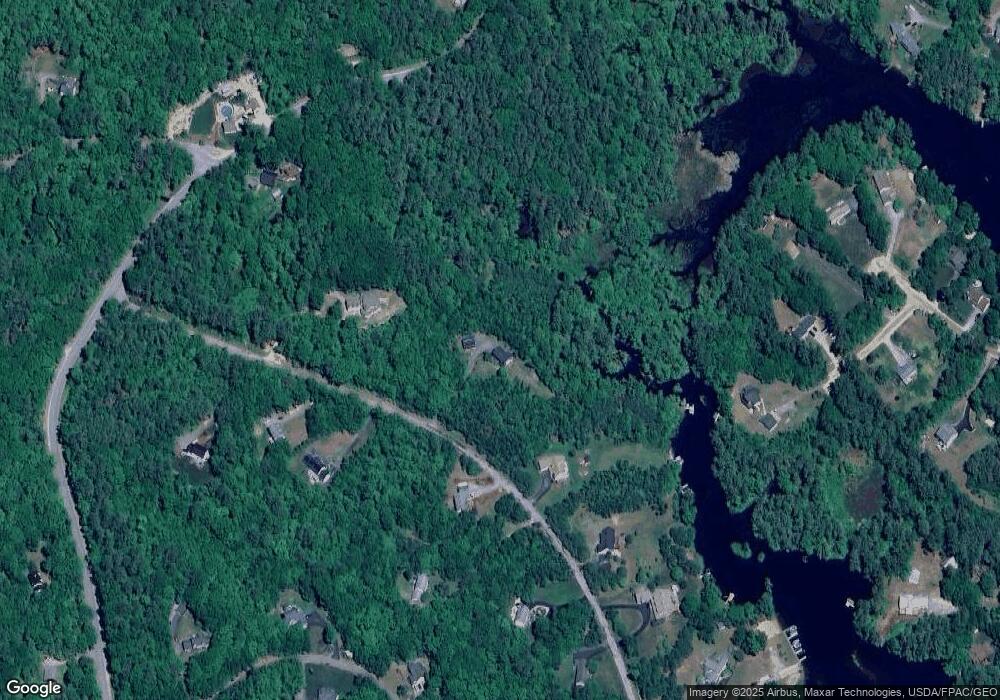
Map
Nearby Homes
- 114 Bow Lake Estates Rd
- 133 & 137 Browns Pasture Rd
- 239 Long Pond Rd
- 18 Collins Dr
- Map 3 Lot 18-2b and 18-2c Water St
- Map 219 Lot 6-8 Ridge Rd
- 0 1st New Hampshire Turnpike Unit 5013320
- 150A 1st New Hampshire Turnpike
- 26 Harmony Rd
- 73 Harvey Lake Rd
- 2 Oak Ct
- 26 Oak St
- M37 L40 Beaver Rd
- 11 Chestnut Ln
- 641 & 647 First nh Turnpike
- 17 Brook Cir
- R11 07 Clough Rd
- 617 1st New Hampshire Turnpike Unit 9
- 7 Chestnut Ln
- 21 Brook Cir
- 41 Pointe Trinity Dr
- 55 Pointe Trinity Dr
- 21 Pointe Trinity Dr
- 52 Pointe Trinity Dr
- 67 Pointe Trinity Dr
- 36 Pointe Trinity Dr
- 28 Pointe Trinity Dr
- 58 Pointe Trinity Dr
- 30 Kooaukee Ct
- 68 Pointe Trinity Dr
- 1239 Province Rd
- 22 Pointe Trinity Dr
- 71 Pointe Trinity Dr
- 28 Kooaukee Ct
- 20 Kooaukee Ct
- 37 Carter Way
- 1292 Province Rd
- 1292 Province Rd Unit 1292
- 1292 Province Rd
- 18 Pointe Trinity Dr
Your Personal Tour Guide
Ask me questions while you tour the home.