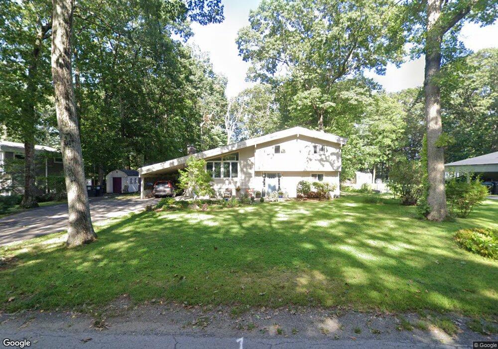
41 Walnut St Millis, MA 02054
Estimated Value: $623,124 - $713,000
3
Beds
2
Baths
1,680
Sq Ft
$393/Sq Ft
Est. Value
About This Home
This home is located at 41 Walnut St, Millis, MA 02054 and is currently estimated at $659,531, approximately $392 per square foot. 41 Walnut St is a home located in Norfolk County with nearby schools including Clyde F Brown, Millis Middle School, and Millis High School.
Ownership History
Date
Name
Owned For
Owner Type
Purchase Details
Closed on
Apr 25, 1997
Sold by
Tomasello Francis J
Bought by
Albert Michael
Current Estimated Value
Create a Home Valuation Report for This Property
The Home Valuation Report is an in-depth analysis detailing your home's value as well as a comparison with similar homes in the area
Home Values in the Area
Average Home Value in this Area
Purchase History
| Date | Buyer | Sale Price | Title Company |
|---|---|---|---|
| Albert Michael | $166,500 | -- |
Source: Public Records
Mortgage History
| Date | Status | Borrower | Loan Amount |
|---|---|---|---|
| Open | Albert Michael | $224,000 | |
| Closed | Albert Michael | $164,000 | |
| Closed | Albert Michael | $150,200 |
Source: Public Records
Tax History Compared to Growth
Tax History
| Year | Tax Paid | Tax Assessment Tax Assessment Total Assessment is a certain percentage of the fair market value that is determined by local assessors to be the total taxable value of land and additions on the property. | Land | Improvement |
|---|---|---|---|---|
| 2025 | $8,681 | $529,300 | $183,700 | $345,600 |
| 2024 | $7,862 | $478,800 | $183,700 | $295,100 |
| 2023 | $7,451 | $426,000 | $159,700 | $266,300 |
| 2022 | $7,495 | $397,000 | $159,700 | $237,300 |
| 2021 | $7,132 | $363,500 | $159,700 | $203,800 |
| 2020 | $6,974 | $346,300 | $149,300 | $197,000 |
| 2019 | $6,078 | $325,000 | $139,800 | $185,200 |
| 2018 | $5,628 | $312,300 | $127,100 | $185,200 |
| 2017 | $5,719 | $310,500 | $127,400 | $183,100 |
| 2016 | $5,415 | $310,500 | $127,400 | $183,100 |
| 2015 | $5,279 | $310,500 | $127,400 | $183,100 |
Source: Public Records
Map
Nearby Homes
- 50 Walnut St
- 119 Middlesex St
- 9 Bogastow Cir
- 6 Glen Ellen Blvd Unit 6
- 18 Lansing Way Unit 18
- 86 Glen Ellen Blvd Unit 86
- 20 Jameson Dr Unit 20
- 21 Spywood Rd
- 27 Richardson Dr Unit 27
- 27 Spywood Rd
- 3 Jameson Dr Unit 3
- 6 Rivendell Ln
- 54 Spywood Rd
- 140 Goulding St
- 22 May Rd
- 10 April Way
- 6 April Way
- 27 Pollard Dr
- 00000 S Main St and Bullard St
- 54 Shaw Farm Rd