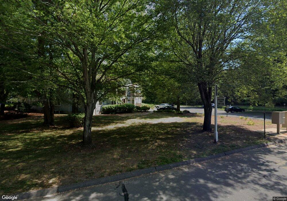
410 Ashmead Commons Enfield, CT 06082
Estimated Value: $226,000 - $245,275
2
Beds
2
Baths
1,184
Sq Ft
$198/Sq Ft
Est. Value
About This Home
This home is located at 410 Ashmead Commons, Enfield, CT 06082 and is currently estimated at $234,569, approximately $198 per square foot. 410 Ashmead Commons is a home located in Hartford County with nearby schools including Prudence Crandall Elementary School, Nathan Hale Elementary School, and John F. Kennedy Middle School.
Ownership History
Date
Name
Owned For
Owner Type
Purchase Details
Closed on
Oct 28, 2013
Sold by
Anderson Andrea A
Bought by
Attias Mever
Current Estimated Value
Home Financials for this Owner
Home Financials are based on the most recent Mortgage that was taken out on this home.
Original Mortgage
$90,000
Outstanding Balance
$24,416
Interest Rate
4.56%
Estimated Equity
$210,153
Purchase Details
Closed on
Dec 3, 2007
Sold by
Smith Brigitte
Bought by
Anderson Andrea
Home Financials for this Owner
Home Financials are based on the most recent Mortgage that was taken out on this home.
Original Mortgage
$136,933
Interest Rate
6.48%
Purchase Details
Closed on
Aug 24, 2001
Sold by
Twardy Wendy and Twardy David
Bought by
Smith Brigitte
Home Financials for this Owner
Home Financials are based on the most recent Mortgage that was taken out on this home.
Original Mortgage
$87,850
Interest Rate
7.21%
Create a Home Valuation Report for This Property
The Home Valuation Report is an in-depth analysis detailing your home's value as well as a comparison with similar homes in the area
Home Values in the Area
Average Home Value in this Area
Purchase History
| Date | Buyer | Sale Price | Title Company |
|---|---|---|---|
| Attias Mever | $112,500 | -- | |
| Anderson Andrea | $149,900 | -- | |
| Smith Brigitte | $90,600 | -- |
Source: Public Records
Mortgage History
| Date | Status | Borrower | Loan Amount |
|---|---|---|---|
| Open | Smith Brigitte | $90,000 | |
| Previous Owner | Smith Brigitte | $136,933 | |
| Previous Owner | Smith Brigitte | $87,850 |
Source: Public Records
Tax History Compared to Growth
Tax History
| Year | Tax Paid | Tax Assessment Tax Assessment Total Assessment is a certain percentage of the fair market value that is determined by local assessors to be the total taxable value of land and additions on the property. | Land | Improvement |
|---|---|---|---|---|
| 2025 | $3,926 | $113,300 | $0 | $113,300 |
| 2024 | $3,831 | $113,300 | $0 | $113,300 |
| 2023 | $3,768 | $113,300 | $0 | $113,300 |
| 2022 | $3,466 | $113,300 | $0 | $113,300 |
| 2021 | $3,170 | $84,810 | $0 | $84,810 |
| 2020 | $3,170 | $84,810 | $0 | $84,810 |
| 2019 | $3,170 | $84,810 | $0 | $84,810 |
| 2018 | $3,100 | $84,810 | $0 | $84,810 |
| 2017 | $2,933 | $84,810 | $0 | $84,810 |
| 2016 | $3,125 | $91,880 | $0 | $91,880 |
| 2015 | $3,036 | $91,880 | $0 | $91,880 |
| 2014 | $2,966 | $91,880 | $0 | $91,880 |
Source: Public Records
Map
Nearby Homes
- 14 W Forrest Dr
- 6 Jondot Dr
- 5 Cranberry Hollow Unit 5
- 18 Cranberry Hollow Unit 18
- 39 Liberty Ln
- 90 Cottage Rd
- 176 Cottage Rd
- 41 Liberty Ln
- 43 Liberty Ln
- 50 Liberty Ln
- 65 W Shore Dr
- 12 the Laurels Unit 12
- 12 Concord Terrace
- 11 Brook Rd
- 757 Shaker Rd
- 151 Wolf Swamp Rd
- 25 Whitmun Rd
- 49 Wimbleton Dr
- 42 Candlewood Dr Unit 42
- 85 Inverness Ln
- 410 Ashmead Commons Unit 410
- 412 Ashmead Commons
- 416 Ashmead Commons Unit 416
- 502 Ashmead Common Unit 502
- 501 Ashmead Common
- 506 Ashmead Common Unit 506
- 504 Ashmead Common
- 506 Ashmead Common
- 503 Ashmead Common
- 505 Ashmead Common
- 408 Ashmead Commons
- 406 Ashmead Commons Unit 406
- 406 Ashmead Commons
- 402 Ashmead Commons Unit 402
- 402 Ashmead Commons
- 405 Ashmead Commons Unit 405
- 409 Ashmead Commons Unit 409
- 409 Ashmead Commons
- 407 Ashmead Commons
- 411 Ashmead Commons