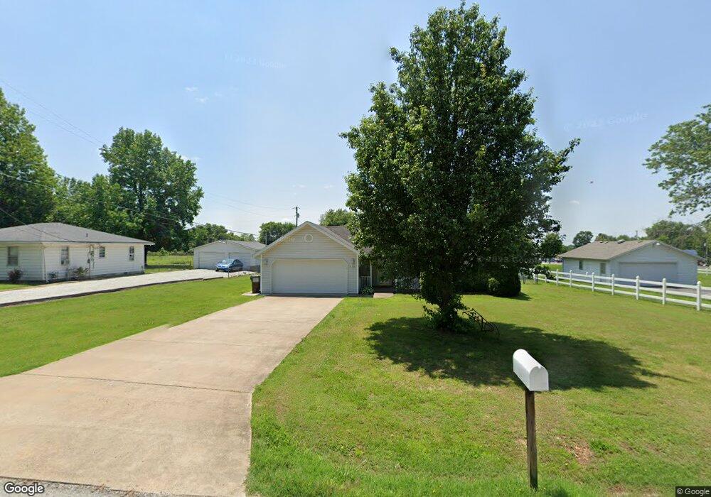
410 Beam St Willard, MO 65781
Estimated Value: $228,000 - $250,694
3
Beds
2
Baths
1,315
Sq Ft
$179/Sq Ft
Est. Value
About This Home
This home is located at 410 Beam St, Willard, MO 65781 and is currently estimated at $235,174, approximately $178 per square foot. 410 Beam St is a home located in Greene County with nearby schools including Willard East Elementary School and Willard Intermediate School North.
Ownership History
Date
Name
Owned For
Owner Type
Purchase Details
Closed on
May 9, 2017
Sold by
Rodocker Randall L
Bought by
Rodocker Jeanette
Current Estimated Value
Home Financials for this Owner
Home Financials are based on the most recent Mortgage that was taken out on this home.
Original Mortgage
$85,400
Interest Rate
4.08%
Mortgage Type
New Conventional
Purchase Details
Closed on
Apr 25, 2006
Sold by
Rodocker Jack and Rodocker Dee
Bought by
Rodocker Randall L
Create a Home Valuation Report for This Property
The Home Valuation Report is an in-depth analysis detailing your home's value as well as a comparison with similar homes in the area
Home Values in the Area
Average Home Value in this Area
Purchase History
| Date | Buyer | Sale Price | Title Company |
|---|---|---|---|
| Rodocker Jeanette | -- | None Available | |
| Rodocker Randall L | -- | None Available |
Source: Public Records
Mortgage History
| Date | Status | Borrower | Loan Amount |
|---|---|---|---|
| Closed | Rodocker Jeanette | $85,400 |
Source: Public Records
Tax History
| Year | Tax Paid | Tax Assessment Tax Assessment Total Assessment is a certain percentage of the fair market value that is determined by local assessors to be the total taxable value of land and additions on the property. | Land | Improvement |
|---|---|---|---|---|
| 2025 | $1,964 | $34,600 | $5,700 | $28,900 |
| 2024 | $1,964 | $31,710 | $4,750 | $26,960 |
| 2023 | $1,958 | $31,710 | $4,750 | $26,960 |
| 2022 | $1,737 | $28,600 | $4,750 | $23,850 |
| 2021 | $1,735 | $28,600 | $4,750 | $23,850 |
| 2020 | $1,657 | $26,830 | $4,750 | $22,080 |
| 2019 | $1,648 | $26,830 | $4,750 | $22,080 |
| 2018 | $1,605 | $25,750 | $4,750 | $21,000 |
| 2017 | $1,594 | $20,620 | $4,750 | $15,870 |
| 2016 | $1,273 | $20,620 | $4,750 | $15,870 |
| 2015 | $1,261 | $20,620 | $4,750 | $15,870 |
| 2014 | $1,206 | $19,490 | $4,750 | $14,740 |
Source: Public Records
Map
Nearby Homes
Your Personal Tour Guide
Ask me questions while you tour the home.