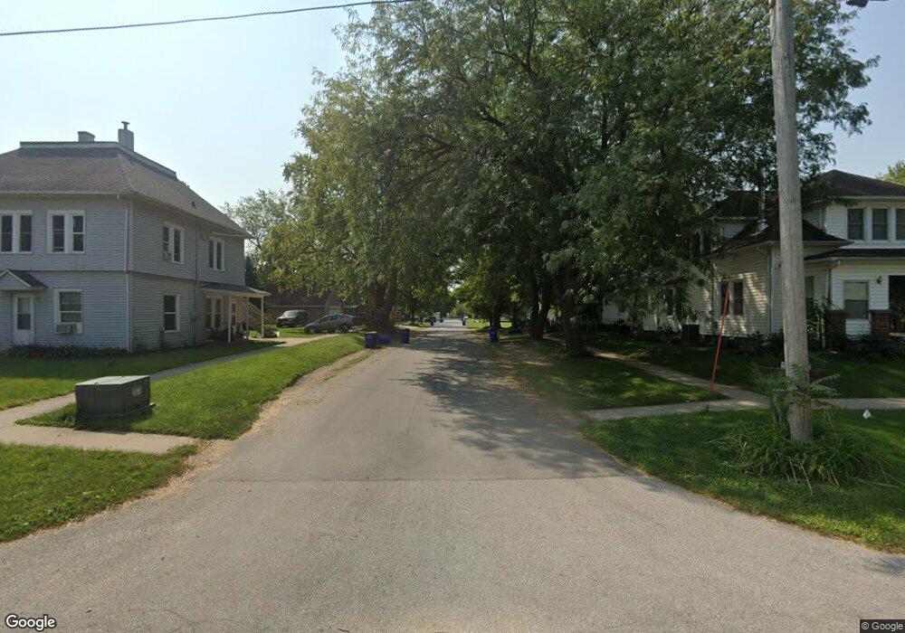
410 E Jayne St Lone Tree, IA 52755
4
Beds
1
Bath
1,440
Sq Ft
180,774
Sq Ft Lot
About This Home
This home is located at 410 E Jayne St, Lone Tree, IA 52755. 410 E Jayne St is a home located in Johnson County with nearby schools including Lone Tree Elementary School and Lone Tree Junior/Senior High School.
Create a Home Valuation Report for This Property
The Home Valuation Report is an in-depth analysis detailing your home's value as well as a comparison with similar homes in the area
Tax History
| Year | Tax Paid | Tax Assessment Tax Assessment Total Assessment is a certain percentage of the fair market value that is determined by local assessors to be the total taxable value of land and additions on the property. | Land | Improvement |
|---|---|---|---|---|
| 2024 | $5,882 | $438,071 | $295,608 | $142,463 |
| 2023 | $6,676 | $438,071 | $295,608 | $142,463 |
| 2022 | $7,776 | $423,683 | $295,608 | $128,075 |
| 2021 | $8,258 | $423,683 | $295,608 | $128,075 |
| 2020 | $8,258 | $423,356 | $295,608 | $127,748 |
| 2019 | $8,332 | $388,400 | $271,200 | $117,200 |
| 2018 | $8,798 | $380,800 | $271,200 | $109,600 |
| 2017 | $9,516 | $380,800 | $271,200 | $109,600 |
Source: Public Records
Map
Nearby Homes
- 407 E Elm St
- 305 S Riggs St
- 500 S Center St
- 221 W Commercial St
- 210 W Mapel Dr
- 763 N Perkins St
- 25840 Golden Oak Ln Lot 1
- 25838 Golden Oak Ln Lot 7
- 25836 Golden Oak Ln Lot 8
- 25832 Golden Oak Ln Lot 12
- 25736 Golden Pond Ln Se Lot 17
- 25738 Golden Pond Ln Se Lot 16
- 25824 Golden Oak Ln Lot 9
- 207 Short St
- 404 Main St
- 1092 Walnut Ave Unit 209
- 1092 Walnut Ave Unit 301
- 1092 Walnut Ave Unit 117 Bld E
- 1092 Walnut Ave Unit 114 Bld D
- Lot 2 116th Cir
Your Personal Tour Guide
Ask me questions while you tour the home.