410 Grady Pigg Ln Cookeville, TN 38501
Dodson Branch NeighborhoodEstimated Value: $161,000 - $304,000
--
Bed
2
Baths
1,436
Sq Ft
$165/Sq Ft
Est. Value
About This Home
This home is located at 410 Grady Pigg Ln, Cookeville, TN 38501 and is currently estimated at $236,992, approximately $165 per square foot. 410 Grady Pigg Ln is a home located in Jackson County with nearby schools including Jackson County High School.
Ownership History
Date
Name
Owned For
Owner Type
Purchase Details
Closed on
Jul 8, 2019
Sold by
Rogers Maureen J
Bought by
Mireles Jose Artemio
Current Estimated Value
Home Financials for this Owner
Home Financials are based on the most recent Mortgage that was taken out on this home.
Original Mortgage
$55,165
Interest Rate
3.9%
Mortgage Type
Credit Line Revolving
Purchase Details
Closed on
Sep 29, 2000
Bought by
Rogers Maureen J
Purchase Details
Closed on
Jul 23, 1999
Sold by
Ronald Hall
Bought by
Douglas Clark
Create a Home Valuation Report for This Property
The Home Valuation Report is an in-depth analysis detailing your home's value as well as a comparison with similar homes in the area
Home Values in the Area
Average Home Value in this Area
Purchase History
| Date | Buyer | Sale Price | Title Company |
|---|---|---|---|
| Mireles Jose Artemio | $64,900 | None Available | |
| Rogers Maureen J | $83,500 | -- | |
| Douglas Clark | $14,900 | -- |
Source: Public Records
Mortgage History
| Date | Status | Borrower | Loan Amount |
|---|---|---|---|
| Closed | Mireles Jose Artemio | $55,165 |
Source: Public Records
Tax History Compared to Growth
Tax History
| Year | Tax Paid | Tax Assessment Tax Assessment Total Assessment is a certain percentage of the fair market value that is determined by local assessors to be the total taxable value of land and additions on the property. | Land | Improvement |
|---|---|---|---|---|
| 2024 | $821 | $32,200 | $3,400 | $28,800 |
| 2023 | $821 | $32,200 | $3,400 | $28,800 |
| 2022 | $724 | $32,200 | $3,400 | $28,800 |
| 2021 | $724 | $32,200 | $3,400 | $28,800 |
| 2020 | $628 | $32,200 | $3,400 | $28,800 |
| 2019 | $628 | $22,500 | $3,025 | $19,475 |
| 2018 | $628 | $22,500 | $3,025 | $19,475 |
| 2017 | $628 | $22,500 | $3,025 | $19,475 |
| 2016 | $628 | $22,500 | $3,025 | $19,475 |
| 2015 | $641 | $22,500 | $3,025 | $19,475 |
| 2014 | $730 | $25,600 | $3,200 | $22,400 |
Source: Public Records
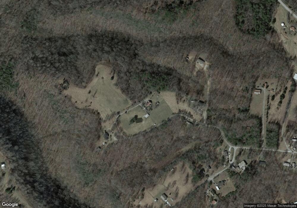
Map
Nearby Homes
- 15826 Dodson Branch Hwy
- 16308 Dodson Branch Hwy
- 0 Dodson Branch Rd Unit RTC2965059
- 00 Hardscrabble Ln
- 0 Hardscrabble Ln
- 15112 Dodson Branch Hwy
- 135 Young Mill Ln
- 388 Albert Swift Ln
- 259 Freewill Ridge Rd Unit 291
- 5.78ac West Ln
- 0 West Ln
- 132 Judd Ln
- 0 Campbell Hill Rd
- 343 Mabry School Rd
- 10.28ac Campbell Hill Rd
- 0 Roaring River Rd
- 266 Grady Pigg Ln
- 361 Grady Pigg Ln
- 262 Grady Pigg Ln
- 00 Grady Pigg Ln
- 118 Bobar Ln
- 150 Bobar Ln
- 0 Grady Pigg Ln
- 160 Bobar Ln
- 214 Grady Pigg Ln
- 141 Bobar Ln
- 117 Bobar Ln
- 155 Bobar Ln
- 215 Grady Pigg Ln
- 179 Grady Pigg Ln
- .90 acre Grady Pigg Ln
- 188 Oak Trace Ln
- 15866 Dodson Branch Hwy
- 160 Oak Trace Ln
- 15826 N Dodson Branch
- 490 Langford Hill Rd