Estimated Value: $389,000 - $469,117
2
Beds
2
Baths
936
Sq Ft
$464/Sq Ft
Est. Value
About This Home
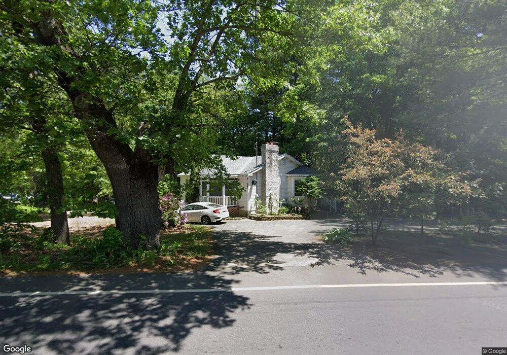
This home is located at 410 Island Pond Rd, Derry, NH 03038 and is currently estimated at $434,279, approximately $463 per square foot. 410 Island Pond Rd is a home located in Rockingham County with nearby schools including East Derry Memorial Elementary School, West Running Brook Middle School, and Pinkerton Academy.
Ownership History
Date
Name
Owned For
Owner Type
Purchase Details
Closed on
Apr 4, 2007
Sold by
Deutsche Bank Natl T C
Bought by
Gravel Michael
Current Estimated Value
Home Financials for this Owner
Home Financials are based on the most recent Mortgage that was taken out on this home.
Original Mortgage
$150,400
Interest Rate
6.25%
Create a Home Valuation Report for This Property
The Home Valuation Report is an in-depth analysis detailing your home's value as well as a comparison with similar homes in the area
Home Values in the Area
Average Home Value in this Area
Purchase History
| Date | Buyer | Sale Price | Title Company |
|---|---|---|---|
| Gravel Michael | $188,000 | -- |
Source: Public Records
Mortgage History
| Date | Status | Borrower | Loan Amount |
|---|---|---|---|
| Open | Gravel Michael | $146,300 | |
| Closed | Gravel Michael | $150,400 |
Source: Public Records
Tax History Compared to Growth
Tax History
| Year | Tax Paid | Tax Assessment Tax Assessment Total Assessment is a certain percentage of the fair market value that is determined by local assessors to be the total taxable value of land and additions on the property. | Land | Improvement |
|---|---|---|---|---|
| 2024 | $6,480 | $346,700 | $185,000 | $161,700 |
| 2023 | $6,072 | $293,600 | $157,300 | $136,300 |
| 2022 | $5,590 | $293,600 | $157,300 | $136,300 |
| 2021 | $5,487 | $221,600 | $117,300 | $104,300 |
| 2020 | $5,394 | $221,600 | $117,300 | $104,300 |
| 2019 | $5,046 | $193,200 | $91,000 | $102,200 |
| 2018 | $5,351 | $193,200 | $91,000 | $102,200 |
| 2017 | $4,818 | $179,800 | $86,500 | $93,300 |
| 2016 | $4,868 | $179,900 | $86,500 | $93,400 |
| 2015 | $4,966 | $169,900 | $86,500 | $83,400 |
| 2014 | $4,998 | $169,900 | $86,500 | $83,400 |
| 2013 | $4,909 | $155,900 | $79,200 | $76,700 |
Source: Public Records
Map
Nearby Homes
- 114 Chases Grove Rd
- 116 Chases Grove Rd
- 120 Chases Grove Rd
- 67 & 69 Conleys Grove Rd
- 117C Chases Grove Rd
- 35 Steele Rd
- 6 Weston St
- 9 Valcat Ln
- Lot 22-50 Valcat Ln
- 21 Teague Dr
- 16 Autumn Woods Rd
- 27 Norwood Rd
- 34 Shore Dr
- 10 Independence Dr
- 69 Caddy Dr
- 84 Caddy Dr
- 60 Shore Dr
- 26 King St
- 3 Anna Cir
- 136 Shore Dr
- 410 Island Pond Rd
- 410 1/2 Island Pond Rd
- 406 Island Pond Rd
- 412 Island Pond Rd Unit R
- 412 Island Pond Rd Unit L
- 405 Island Pond Rd
- 407 Island Pond Rd
- 4 Sarah Ln
- 401 Island Pond Rd
- 1 Sarah Ln
- 404 1/2 Island Pond Rd
- 404 Island Pond Rd
- 3 Sarah Ln
- 141 Goodhue Rd
- 397 Island Pond Rd
- 797 Haverhill Rd
- 411 Island Pond Rd
- 00 Route 111
- 395 Island Pond Rd
- 418 Island Pond Rd