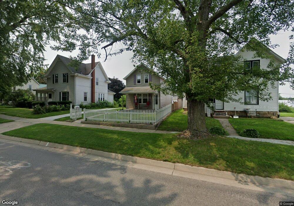
410 N Main St Maquoketa, IA 52060
Estimated Value: $72,000 - $82,000
2
Beds
1
Bath
813
Sq Ft
$97/Sq Ft
Est. Value
About This Home
This home is located at 410 N Main St, Maquoketa, IA 52060 and is currently estimated at $78,747, approximately $96 per square foot. 410 N Main St is a home located in Jackson County with nearby schools including Cardinal Elementary School, Briggs Elementary School, and Maquoketa Middle School.
Ownership History
Date
Name
Owned For
Owner Type
Purchase Details
Closed on
Jul 27, 2022
Sold by
Walke Patricia A
Bought by
Patricia A Walke Trust and Walke
Current Estimated Value
Purchase Details
Closed on
Mar 5, 2010
Sold by
Cavanagh Samantha M and Eberhart Samantha
Bought by
Walke Patricia A
Home Financials for this Owner
Home Financials are based on the most recent Mortgage that was taken out on this home.
Original Mortgage
$40,950
Interest Rate
5.02%
Mortgage Type
New Conventional
Create a Home Valuation Report for This Property
The Home Valuation Report is an in-depth analysis detailing your home's value as well as a comparison with similar homes in the area
Home Values in the Area
Average Home Value in this Area
Purchase History
| Date | Buyer | Sale Price | Title Company |
|---|---|---|---|
| Patricia A Walke Trust | -- | Miler Steven J | |
| Walke Patricia A | $45,500 | None Available |
Source: Public Records
Mortgage History
| Date | Status | Borrower | Loan Amount |
|---|---|---|---|
| Previous Owner | Walke Patricia A | $40,950 |
Source: Public Records
Tax History Compared to Growth
Tax History
| Year | Tax Paid | Tax Assessment Tax Assessment Total Assessment is a certain percentage of the fair market value that is determined by local assessors to be the total taxable value of land and additions on the property. | Land | Improvement |
|---|---|---|---|---|
| 2025 | $614 | $56,100 | $9,000 | $47,100 |
| 2024 | $614 | $48,900 | $6,800 | $42,100 |
| 2023 | $676 | $48,900 | $6,800 | $42,100 |
| 2022 | $650 | $43,700 | $6,800 | $36,900 |
| 2021 | $716 | $43,700 | $6,800 | $36,900 |
| 2020 | $716 | $45,400 | $6,800 | $38,600 |
| 2019 | $712 | $45,400 | $0 | $0 |
| 2018 | $674 | $45,400 | $0 | $0 |
| 2017 | $688 | $44,700 | $0 | $0 |
| 2016 | $658 | $44,700 | $0 | $0 |
| 2015 | $658 | $44,700 | $0 | $0 |
| 2014 | $688 | $44,700 | $0 | $0 |
Source: Public Records
Map
Nearby Homes