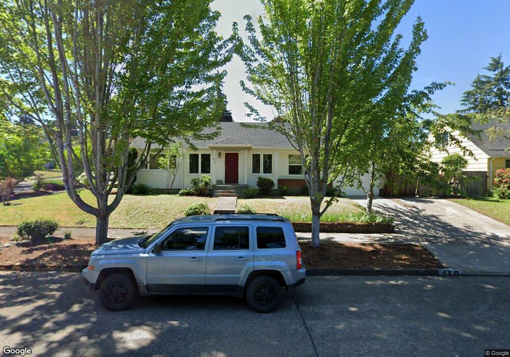
410 W 21st Ave Eugene, OR 97405
Friendly NeighborhoodEstimated Value: $505,047 - $614,000
3
Beds
2
Baths
1,181
Sq Ft
$480/Sq Ft
Est. Value
About This Home
This home is located at 410 W 21st Ave, Eugene, OR 97405 and is currently estimated at $566,512, approximately $479 per square foot. 410 W 21st Ave is a home located in Lane County with nearby schools including Adams Elementary School, Roosevelt Middle School, and South Eugene High School.
Ownership History
Date
Name
Owned For
Owner Type
Purchase Details
Closed on
Sep 26, 2002
Sold by
Miller Michael P and Larsen Todd C
Bought by
Jones Eric
Current Estimated Value
Home Financials for this Owner
Home Financials are based on the most recent Mortgage that was taken out on this home.
Original Mortgage
$199,500
Interest Rate
6.16%
Purchase Details
Closed on
Apr 5, 2002
Sold by
Stephens Melba
Bought by
Miller Michael P and Larsen Todd C
Create a Home Valuation Report for This Property
The Home Valuation Report is an in-depth analysis detailing your home's value as well as a comparison with similar homes in the area
Home Values in the Area
Average Home Value in this Area
Purchase History
| Date | Buyer | Sale Price | Title Company |
|---|---|---|---|
| Jones Eric | $210,000 | Western Pioneer Title Co | |
| Miller Michael P | $125,000 | Western Pioneer Title Co |
Source: Public Records
Mortgage History
| Date | Status | Borrower | Loan Amount |
|---|---|---|---|
| Previous Owner | Jones Eric | $199,500 |
Source: Public Records
Tax History
| Year | Tax Paid | Tax Assessment Tax Assessment Total Assessment is a certain percentage of the fair market value that is determined by local assessors to be the total taxable value of land and additions on the property. | Land | Improvement |
|---|---|---|---|---|
| 2025 | $4,715 | $242,008 | -- | -- |
| 2024 | $4,657 | $234,960 | -- | -- |
| 2023 | $4,657 | $228,117 | $0 | $0 |
| 2022 | $4,362 | $221,473 | $0 | $0 |
| 2021 | $4,097 | $215,023 | $0 | $0 |
| 2020 | $4,112 | $208,761 | $0 | $0 |
| 2019 | $3,971 | $202,681 | $0 | $0 |
| 2018 | $3,738 | $191,047 | $0 | $0 |
| 2017 | $3,571 | $191,047 | $0 | $0 |
| 2014 | $3,314 | $174,836 | $0 | $0 |
Source: Public Records
Map
Nearby Homes
- 0 Monroe St Unit 343774498
- 180 W 23rd Ave
- 557 W 19th Ave
- 2223 Olive St
- 2031 Olive St
- 623 W 18th Ave
- 1924 Friendly St
- 870 W 25th Ave
- 1673 Olive Aly
- 177 E 20th Ave
- 193 E 20th Ave
- 181 Civic Dr
- 84 W 27th Ave
- 1857 Pearl St
- 537 W 14th Ave
- 951 W 27th Ave
- 2095 Polk St
- 1313 Lincoln St Unit 503
- 1313 Lincoln St Unit 1005
- 1313 Lincoln St Unit 401
- 2128 Lawrence St
- 436 W 21st Ave
- 2130 Lawrence St
- 456 W 21st Ave
- 2109 Lawrence St
- 2150 Lawrence St
- 2093 Lawrence St
- 2145 Lawrence St
- 2137 Washington St
- 2105 Washington St
- 356 W 21st Ave
- 2160 Lawrence St
- 2075 Lawrence St
- 2163 Lawrence St
- 2163 Washington St
- 357 W 21st Ave
- 447 W 22nd Ave
- 2181 Washington St
- 377 W 22nd Ave
- 340 W 21st Ave
Your Personal Tour Guide
Ask me questions while you tour the home.