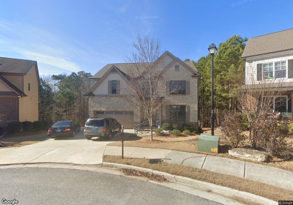
4100 Lost Mill Ln Unit 93 Buford, GA 30519
Estimated Value: $598,367 - $619,000
5
Beds
4
Baths
2,781
Sq Ft
$219/Sq Ft
Est. Value
About This Home
This home is located at 4100 Lost Mill Ln Unit 93, Buford, GA 30519 and is currently estimated at $609,592, approximately $219 per square foot. 4100 Lost Mill Ln Unit 93 is a home located in Gwinnett County with nearby schools including Harmony Elementary School and Glenn C. Jones Middle School.
Ownership History
Date
Name
Owned For
Owner Type
Purchase Details
Closed on
Feb 10, 2021
Sold by
Tompkins James R
Bought by
Cape John W
Current Estimated Value
Home Financials for this Owner
Home Financials are based on the most recent Mortgage that was taken out on this home.
Original Mortgage
$364,500
Outstanding Balance
$326,005
Interest Rate
2.7%
Mortgage Type
New Conventional
Estimated Equity
$283,587
Purchase Details
Closed on
Feb 11, 2019
Sold by
Mb Endeavors Llc
Bought by
Tompkins James R
Home Financials for this Owner
Home Financials are based on the most recent Mortgage that was taken out on this home.
Original Mortgage
$285,520
Interest Rate
4.4%
Mortgage Type
New Conventional
Purchase Details
Closed on
Mar 27, 2018
Sold by
Premier Residential Builde
Bought by
Mb Endeavors Llc
Create a Home Valuation Report for This Property
The Home Valuation Report is an in-depth analysis detailing your home's value as well as a comparison with similar homes in the area
Home Values in the Area
Average Home Value in this Area
Purchase History
| Date | Buyer | Sale Price | Title Company |
|---|---|---|---|
| Cape John W | $405,000 | -- | |
| Tompkins James R | $356,900 | -- | |
| Mb Endeavors Llc | -- | -- |
Source: Public Records
Mortgage History
| Date | Status | Borrower | Loan Amount |
|---|---|---|---|
| Open | Cape John W | $364,500 | |
| Previous Owner | Tompkins James R | $285,520 |
Source: Public Records
Tax History Compared to Growth
Tax History
| Year | Tax Paid | Tax Assessment Tax Assessment Total Assessment is a certain percentage of the fair market value that is determined by local assessors to be the total taxable value of land and additions on the property. | Land | Improvement |
|---|---|---|---|---|
| 2024 | $7,915 | $240,520 | $40,800 | $199,720 |
| 2023 | $7,915 | $190,960 | $28,560 | $162,400 |
| 2022 | $6,063 | $162,000 | $28,560 | $133,440 |
| 2021 | $5,079 | $138,320 | $25,160 | $113,160 |
| 2020 | $5,111 | $138,320 | $25,160 | $113,160 |
| 2019 | $3,682 | $98,480 | $22,440 | $76,040 |
| 2018 | $59 | $1,000 | $1,000 | $0 |
| 2016 | $732 | $20,196 | $20,196 | $0 |
Source: Public Records
Map
Nearby Homes
- 4041 Lost Mill Ln
- 2551 E Maddox Rd
- 3685 Rolling Creek Dr
- 4017 S South Bogan Rd
- 2692 Bogan Creek Dr
- 2101 E Maddox Rd
- 3775 Rolling Creek Dr
- 3665 Mystic Dr Unit 2
- 2753 Blue Moon Dr Unit 4
- 3964 Hamilton Mill Rd
- 2361 Black Bear Ct Unit 2
- 2398 E Maddox Rd
- 3765 Woodlawn Ct
- 3600 Devenwood Way
- 2446 Thrasher Rd
- 2330 Chandler Grove Dr
- 4100 Lost Mill Ln
- 4090 Lost Mill Ln
- 4091 Lost Mill Ln Unit 94B
- 4080 Lost Mill Ln
- 4081 Lost Mill Ln Unit 95
- 4081 Lost Mill Ln
- 4071 Lost Mill Ln Unit 96
- 4071 Lost Mill Ln
- 4070 Lost Mill Ln
- 3933 Creek Rock Ct Unit 3
- 3923 Creek Rock Ct
- 3943 Creek Rock Ct
- 4061 Lost Mill Ln
- 3913 Creek Rock Ct
- 2838 Lost Mill Trace
- 4060 Lost Mill Ln
- 3925 Lost Oak Ct Unit 2
- 4051 Lost Mill Ln Unit 4051
- 4051 Lost Mill Ln
- 4051 Lost Mill Ln