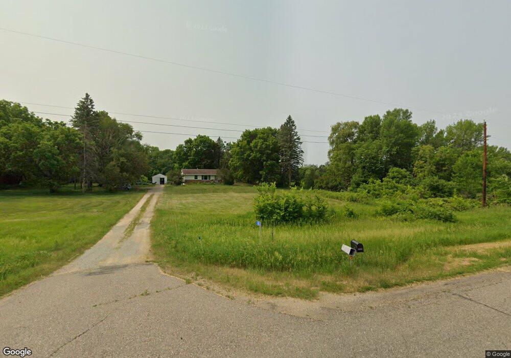
4103 Lonsdale Blvd E Northfield, MN 55057
Estimated Value: $357,000 - $373,000
2
Beds
1
Bath
884
Sq Ft
$413/Sq Ft
Est. Value
About This Home
This home is located at 4103 Lonsdale Blvd E, Northfield, MN 55057 and is currently estimated at $365,355, approximately $413 per square foot. 4103 Lonsdale Blvd E is a home located in Rice County with nearby schools including Bridgewater Elementary School, Northfield Middle School, and Northfield Senior High School.
Ownership History
Date
Name
Owned For
Owner Type
Purchase Details
Closed on
Aug 28, 2024
Sold by
Lysne Edric A
Bought by
Kimaiga Vincent Dequare and Dequare Gloria
Current Estimated Value
Home Financials for this Owner
Home Financials are based on the most recent Mortgage that was taken out on this home.
Original Mortgage
$350,000
Outstanding Balance
$346,369
Interest Rate
6.89%
Mortgage Type
New Conventional
Estimated Equity
$18,986
Purchase Details
Closed on
Aug 27, 2024
Sold by
Lysne Edric
Bought by
Kimaiga Vincent and Dequare Gloria
Home Financials for this Owner
Home Financials are based on the most recent Mortgage that was taken out on this home.
Original Mortgage
$350,000
Outstanding Balance
$346,369
Interest Rate
6.89%
Mortgage Type
New Conventional
Estimated Equity
$18,986
Purchase Details
Closed on
Feb 4, 2016
Sold by
Bell Shelly L
Bought by
Lysne Edric A
Create a Home Valuation Report for This Property
The Home Valuation Report is an in-depth analysis detailing your home's value as well as a comparison with similar homes in the area
Home Values in the Area
Average Home Value in this Area
Purchase History
| Date | Buyer | Sale Price | Title Company |
|---|---|---|---|
| Kimaiga Vincent Dequare | $350,000 | None Listed On Document | |
| Kimaiga Vincent | $350,000 | -- | |
| Lysne Edric A | $53,000 | Attorney |
Source: Public Records
Mortgage History
| Date | Status | Borrower | Loan Amount |
|---|---|---|---|
| Open | Kimaiga Vincent | $350,000 |
Source: Public Records
Tax History Compared to Growth
Tax History
| Year | Tax Paid | Tax Assessment Tax Assessment Total Assessment is a certain percentage of the fair market value that is determined by local assessors to be the total taxable value of land and additions on the property. | Land | Improvement |
|---|---|---|---|---|
| 2025 | $2,982 | $289,400 | $167,000 | $122,400 |
| 2024 | $2,982 | $264,700 | $150,000 | $114,700 |
| 2023 | $2,530 | $264,700 | $150,000 | $114,700 |
| 2022 | $2,552 | $235,500 | $131,000 | $104,500 |
| 2021 | $2,642 | $218,600 | $127,200 | $91,400 |
| 2020 | $2,634 | $214,900 | $127,200 | $87,700 |
| 2019 | $2,714 | $210,100 | $127,200 | $82,900 |
| 2018 | $2,594 | $209,800 | $127,200 | $82,600 |
| 2017 | $2,352 | $195,300 | $127,200 | $68,100 |
| 2016 | $2,286 | $195,700 | $127,200 | $68,500 |
| 2015 | $2,276 | $196,700 | $127,200 | $69,500 |
| 2014 | -- | $197,100 | $127,200 | $69,900 |
Source: Public Records
Map
Nearby Homes
- TBD Hwy 19 / Lonsdal Lonsdale Blvd E
- XXXXX 330th St
- 9206 Edgebrook Dr
- 1105 Hawthorne Ct
- 1504 Independence Dr Unit 603
- 1507 Independence Dr
- 1108 Greenvale Ave W Unit 2
- 1000 Cannon Valley Dr Unit 143
- 717 Lincoln St N
- 1025 Summerfield Dr
- 812 Ivanhoe Dr
- 621 Highland Ave W
- 728 Lathrop Dr
- 732 Lathrop Dr
- 705 Grundhoefer Ct
- 616 Greenvale Ave W
- 612 Greenvale Ave W
- 602 Greenvale Ave W
- 904 Forest Ave
- 706 Greenvale Ave W
- 3851 330th St W
- 7763 7763 330th-Street-w
- 7763 330th St W
- 8200 Decker Ave
- 7901 7901 330th-Street-w
- 7901 330th St W
- 3647 Lonsdale Blvd E
- 3645 Lonsdale Blvd E
- 4492 Decker Ct
- 4481 Decker Ct
- 4508 Decker Ct
- 32811 Garrett Ave
- 4501 Decker Ct
- 4521 Decker Ct
- 4531 Decker Ct
- 8353 Decker Ave
- 32840 Garrett Ave
- 4519 Lonsdale Blvd E
- 3215 North Ave
- 3215 North Ave