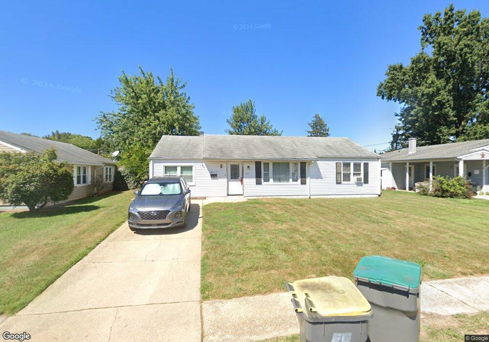
411 Burnside Blvd Wilmington, DE 19804
Estimated Value: $222,000 - $308,000
3
Beds
1
Bath
1,428
Sq Ft
$194/Sq Ft
Est. Value
About This Home
This home is located at 411 Burnside Blvd, Wilmington, DE 19804 and is currently estimated at $277,544, approximately $194 per square foot. 411 Burnside Blvd is a home located in New Castle County with nearby schools including Richey Elementary School, Stanton Middle School, and Dickinson (John) High School.
Ownership History
Date
Name
Owned For
Owner Type
Purchase Details
Closed on
Aug 31, 2007
Sold by
White Christine and Barni Christine
Bought by
Baez Jose R
Current Estimated Value
Home Financials for this Owner
Home Financials are based on the most recent Mortgage that was taken out on this home.
Original Mortgage
$151,500
Outstanding Balance
$125,162
Interest Rate
6.7%
Mortgage Type
Purchase Money Mortgage
Estimated Equity
$152,382
Purchase Details
Closed on
Jun 25, 2001
Sold by
Kelch John S and Kelch Linda
Bought by
White Christine
Home Financials for this Owner
Home Financials are based on the most recent Mortgage that was taken out on this home.
Original Mortgage
$87,900
Interest Rate
9.5%
Create a Home Valuation Report for This Property
The Home Valuation Report is an in-depth analysis detailing your home's value as well as a comparison with similar homes in the area
Home Values in the Area
Average Home Value in this Area
Purchase History
| Date | Buyer | Sale Price | Title Company |
|---|---|---|---|
| Baez Jose R | $75,750 | None Available | |
| White Christine | $109,900 | -- |
Source: Public Records
Mortgage History
| Date | Status | Borrower | Loan Amount |
|---|---|---|---|
| Open | Baez Jose R | $151,500 | |
| Previous Owner | White Christine | $87,900 | |
| Closed | White Christine | $22,000 |
Source: Public Records
Tax History Compared to Growth
Tax History
| Year | Tax Paid | Tax Assessment Tax Assessment Total Assessment is a certain percentage of the fair market value that is determined by local assessors to be the total taxable value of land and additions on the property. | Land | Improvement |
|---|---|---|---|---|
| 2024 | $1,464 | $38,600 | $8,200 | $30,400 |
| 2023 | $1,296 | $38,600 | $8,200 | $30,400 |
| 2022 | $1,304 | $38,600 | $8,200 | $30,400 |
| 2021 | $1,304 | $38,600 | $8,200 | $30,400 |
| 2020 | $1,307 | $38,600 | $8,200 | $30,400 |
| 2019 | $1,715 | $38,600 | $8,200 | $30,400 |
| 2018 | $1,280 | $38,600 | $8,200 | $30,400 |
| 2017 | $1,265 | $38,600 | $8,200 | $30,400 |
| 2016 | $1,207 | $38,600 | $8,200 | $30,400 |
| 2015 | $1,132 | $38,600 | $8,200 | $30,400 |
| 2014 | $1,050 | $38,600 | $8,200 | $30,400 |
Source: Public Records
Map
Nearby Homes
- 718 Newport Gap Pike
- 1 Burnside Blvd
- 717 Garnet Rd
- 714 Woodtop Rd
- 100 Bestfield Rd
- 402 Maple Ave
- 109 Cunard St
- 37 Standiford Ct Unit 158
- 608 N Augustine St
- 9 Standiford Ct Unit 172
- 333 Clyde St
- 5 Standiford Ct Unit 174
- 1217 Newport Gap Pike
- 102 Adelphia Ave
- 419 Becker Ave
- 100 Lindberg Ave
- 618 Boxwood Rd
- 110 Silview Ave
- 0 Kiamensi Rd
- 303 Portland Ave
- 409 Burnside Blvd
- 413 Burnside Blvd
- 410 Bennington Rd
- 412 Bennington Rd
- 407 Burnside Blvd
- 415 Burnside Blvd
- 408 Bennington Rd
- 410 Burnside Blvd
- 408 Burnside Blvd
- 414 Bennington Rd
- 412 Burnside Blvd
- 406 Bennington Rd
- 405 Burnside Blvd
- 417 Burnside Blvd
- 406 Burnside Blvd
- 414 Burnside Blvd
- 404 Burnside Blvd
- 404 Bennington Rd
- 416 Bennington Rd
- 403 Bennington Rd