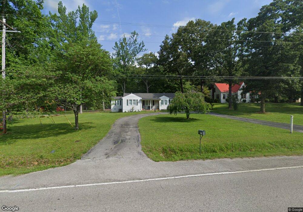
411 E Maple St Morrison, TN 37357
Estimated Value: $172,000 - $254,000
Studio
2
Baths
1,412
Sq Ft
$142/Sq Ft
Est. Value
About This Home
This home is located at 411 E Maple St, Morrison, TN 37357 and is currently estimated at $200,424, approximately $141 per square foot. 411 E Maple St is a home located in Warren County with nearby schools including Morrison Elementary School and Warren County High School.
Ownership History
Date
Name
Owned For
Owner Type
Purchase Details
Closed on
Mar 31, 2021
Sold by
Hawkins Autumn Michelle
Bought by
Deckard Zachary L and Dunn Erin A
Current Estimated Value
Home Financials for this Owner
Home Financials are based on the most recent Mortgage that was taken out on this home.
Original Mortgage
$101,010
Outstanding Balance
$90,294
Interest Rate
2.8%
Mortgage Type
USDA
Estimated Equity
$110,130
Purchase Details
Closed on
Mar 10, 2021
Sold by
Jacobs Andrew Wesley and Eades Andrea Kay
Bought by
Hawkins Autumn Michelle
Home Financials for this Owner
Home Financials are based on the most recent Mortgage that was taken out on this home.
Original Mortgage
$101,010
Outstanding Balance
$90,294
Interest Rate
2.8%
Mortgage Type
USDA
Estimated Equity
$110,130
Purchase Details
Closed on
Jan 1, 1954
Sold by
Jacobs John H
Bought by
Jacobs John H
Create a Home Valuation Report for This Property
The Home Valuation Report is an in-depth analysis detailing your home's value as well as a comparison with similar homes in the area
Purchase History
| Date | Buyer | Sale Price | Title Company |
|---|---|---|---|
| Deckard Zachary L | $100,000 | First Community T&E Co | |
| Hawkins Autumn Michelle | -- | None Available | |
| Jacobs John H | -- | -- |
Source: Public Records
Mortgage History
| Date | Status | Borrower | Loan Amount |
|---|---|---|---|
| Open | Deckard Zachary L | $101,010 |
Source: Public Records
Tax History
| Year | Tax Paid | Tax Assessment Tax Assessment Total Assessment is a certain percentage of the fair market value that is determined by local assessors to be the total taxable value of land and additions on the property. | Land | Improvement |
|---|---|---|---|---|
| 2025 | -- | $41,100 | $8,125 | $32,975 |
| 2024 | -- | $23,725 | $3,125 | $20,600 |
| 2023 | $493 | $23,825 | $3,125 | $20,700 |
| 2022 | $493 | $23,825 | $3,125 | $20,700 |
| 2021 | $493 | $23,825 | $3,125 | $20,700 |
| 2020 | $461 | $23,825 | $3,125 | $20,700 |
| 2019 | $461 | $19,525 | $2,250 | $17,275 |
| 2018 | $406 | $19,525 | $2,250 | $17,275 |
| 2017 | $406 | $19,525 | $2,250 | $17,275 |
| 2016 | $384 | $19,525 | $2,250 | $17,275 |
| 2015 | $412 | $19,525 | $2,250 | $17,275 |
| 2014 | $415 | $19,525 | $2,250 | $17,275 |
| 2013 | $415 | $19,676 | $0 | $0 |
Source: Public Records
Map
Nearby Homes
- 120 Boyd St
- 431 S Fair St
- 511 N Main St
- 101 S Mill St
- 631 W Maple St
- 8557 Manchester Hwy
- 2357 Beacon Light Rd Unit 1
- 2100 Beacon Light Rd Unit 6
- 2100 Beacon Light Rd Unit 4
- 2100 Beacon Light Rd Unit 8
- 2100 Beacon Light Rd
- 2100 Beacon Light Rd Unit 9
- 2357 Beacon Light Rd
- 2100 Beacon Light Rd Unit 3
- 2100 Beacon Light Rd Unit 11
- 2100 Beacon Light Rd Unit 5
- 2100 Beacon Light Rd Unit 10
- 2100 Beacon Light Rd Unit 7
- 2100 Beacon Light Rd Unit 2
- 0 Old Wells Rd
Your Personal Tour Guide
Ask me questions while you tour the home.