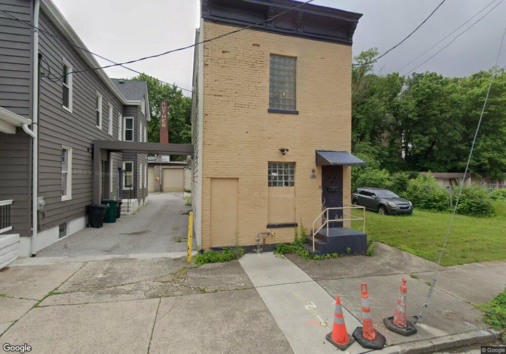
4112 Gordon St Cincinnati, OH 45223
Northside Neighborhood
Studio
--
Bath
--
Sq Ft
305
Sq Ft Lot
About This Home
This home is located at 4112 Gordon St, Cincinnati, OH 45223. 4112 Gordon St is a home located in Hamilton County with nearby schools including Chase Elementary School, Robert A. Taft Information Technology High School, and Western Hills High School.
Ownership History
Date
Name
Owned For
Owner Type
Purchase Details
Closed on
Apr 9, 1999
Sold by
Secret Services Repair Inc
Bought by
What Investments Llc
Home Financials for this Owner
Home Financials are based on the most recent Mortgage that was taken out on this home.
Original Mortgage
$28,000
Interest Rate
6.99%
Mortgage Type
Balloon
Purchase Details
Closed on
Mar 23, 1999
Sold by
Secret Repair Inc
Bought by
Hall Daniel L and Hall Sharon D
Home Financials for this Owner
Home Financials are based on the most recent Mortgage that was taken out on this home.
Original Mortgage
$28,000
Interest Rate
6.99%
Mortgage Type
Balloon
Create a Home Valuation Report for This Property
The Home Valuation Report is an in-depth analysis detailing your home's value as well as a comparison with similar homes in the area
Home Values in the Area
Average Home Value in this Area
Purchase History
| Date | Buyer | Sale Price | Title Company |
|---|---|---|---|
| What Investments Llc | $34,900 | Blue Chip Title Agency Inc | |
| Hall Daniel L | $59,000 | -- |
Source: Public Records
Mortgage History
| Date | Status | Borrower | Loan Amount |
|---|---|---|---|
| Previous Owner | What Investments Llc | $28,000 | |
| Previous Owner | Hall Daniel L | $41,300 |
Source: Public Records
Tax History
| Year | Tax Paid | Tax Assessment Tax Assessment Total Assessment is a certain percentage of the fair market value that is determined by local assessors to be the total taxable value of land and additions on the property. | Land | Improvement |
|---|---|---|---|---|
| 2025 | $1 | $11 | $11 | -- |
| 2024 | $1 | $11 | $11 | -- |
| 2023 | $1 | $11 | $11 | $0 |
| 2022 | $1 | $7 | $7 | $0 |
| 2021 | $0 | $7 | $7 | $0 |
| 2020 | $0 | $7 | $7 | $0 |
| 2019 | $0 | $7 | $7 | $0 |
| 2018 | $0 | $7 | $7 | $0 |
| 2017 | $0 | $7 | $7 | $0 |
| 2016 | $10 | $102 | $102 | $0 |
| 2015 | $9 | $102 | $102 | $0 |
| 2014 | $9 | $102 | $102 | $0 |
| 2013 | $10 | $109 | $109 | $0 |
Source: Public Records
Map
Nearby Homes
- 4114 Gordon St
- 1763 Hanfield St
- 1743 Hanfield St
- 4210 Colerain Ave
- 1739 Chase Ave
- 1801 Chase Ave
- 1764 Chase Ave
- 1809 Chase Ave
- 4110 Jerome Ave
- 4222 Georgia Ave
- 4034 Colerain Ave
- 1615 Chase Ave
- 4210 Turrill St
- 1919 Washburn St
- 4411 Colerain Ave
- 4361 Badgeley St
- 4421 Colerain Ave
- 1949 Washburn St
- 3836 Llewellyn Ave
- 4326 Hamilton Ave
- 4110 Gordon St
- 1749 Hanfield St
- 1751 Hanfield St
- 1755 Hanfield St
- 4124 Colerain Ave
- 1745 Hanfield St
- 4126 Colerain Ave
- 1761 Hanfield St
- 4113 Gordon St
- 4111 Gordon St
- 4109 Gordon St
- 4128 Colerain Ave
- 4128 Colerain Ave Unit 1
- 4130 Colerain Ave
- 4130 Colerain Ave Unit 2
- 1765 Hanfield St
- 1767 Hanfield St
- 1735 Hanfield St
- 1760 Hanfield St
- 1748 Hanfield St
Your Personal Tour Guide
Ask me questions while you tour the home.