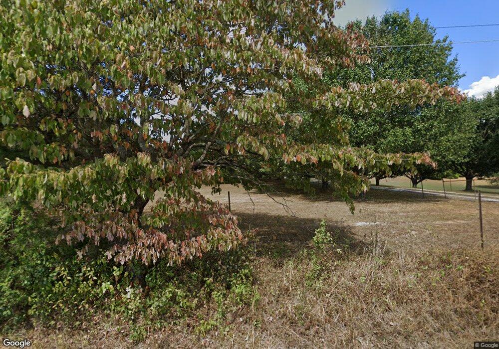
4113 Armstrong Rd Springfield, TN 37172
Estimated Value: $410,000 - $458,000
Studio
2
Baths
1,498
Sq Ft
$290/Sq Ft
Est. Value
About This Home
This home is located at 4113 Armstrong Rd, Springfield, TN 37172 and is currently estimated at $435,108, approximately $290 per square foot. 4113 Armstrong Rd is a home located in Robertson County with nearby schools including Krisle Elementary School and East Robertson High School.
Ownership History
Date
Name
Owned For
Owner Type
Purchase Details
Closed on
Feb 3, 2016
Sold by
Sisk Russell E
Bought by
Sisk Teresa Denise
Current Estimated Value
Purchase Details
Closed on
Mar 5, 1996
Sold by
Secretary Of Hud
Bought by
Sisk Russell E and Sisk Teresa D
Purchase Details
Closed on
Apr 1, 1992
Bought by
Martin Robert R and Martin Sherry A
Purchase Details
Closed on
Jun 14, 1990
Bought by
Calloway Mark D & Fleet Mortgage Corp
Purchase Details
Closed on
Jun 19, 1987
Bought by
Miller Lorraine L
Create a Home Valuation Report for This Property
The Home Valuation Report is an in-depth analysis detailing your home's value as well as a comparison with similar homes in the area
Home Values in the Area
Average Home Value in this Area
Purchase History
| Date | Buyer | Sale Price | Title Company |
|---|---|---|---|
| Sisk Teresa Denise | -- | None Available | |
| Sisk Russell E | $63,800 | -- | |
| Martin Robert R | $96,200 | -- | |
| Calloway Mark D & Fleet Mortgage Corp | $87,900 | -- | |
| Miller Lorraine L | -- | -- |
Source: Public Records
Tax History
| Year | Tax Paid | Tax Assessment Tax Assessment Total Assessment is a certain percentage of the fair market value that is determined by local assessors to be the total taxable value of land and additions on the property. | Land | Improvement |
|---|---|---|---|---|
| 2025 | $2,005 | $111,375 | $60,350 | $51,025 |
| 2024 | $2,005 | $111,375 | $60,350 | $51,025 |
| 2023 | $2,005 | $111,375 | $60,350 | $51,025 |
| 2022 | $1,504 | $58,375 | $29,875 | $28,500 |
| 2021 | $1,504 | $58,375 | $29,875 | $28,500 |
| 2020 | $1,504 | $58,375 | $29,875 | $28,500 |
| 2019 | $1,504 | $58,375 | $29,875 | $28,500 |
| 2018 | $1,504 | $58,375 | $29,875 | $28,500 |
| 2017 | $1,313 | $42,575 | $17,650 | $24,925 |
| 2016 | $1,313 | $42,575 | $17,650 | $24,925 |
| 2015 | $1,260 | $42,575 | $17,650 | $24,925 |
| 2014 | $1,260 | $42,575 | $17,650 | $24,925 |
Source: Public Records
Map
Nearby Homes
- 1074 Pair Six Dr
- 4247 Armstrong Rd
- 4031 Wells Rd
- 12354 Owens Chapel Rd
- 3972 Baggett Rd
- 3941 Baggett Rd
- 0 Homer Worsham Rd
- 5827 Highway 76 E
- 0 Owens Chapel Rd
- 6808 Hester Rd
- 1073 Rector Ln
- 344 Brandywine Ln
- 349 Fieldstone Ln
- 340 Fieldstone Ln
- 312 Brandywine Ln
- 5572 Highway 76 E
- 405 Arabian Ln
- 5031 Homer Worsham Rd
- 338 Gallop Ln
- 238 Clydesdale Ln
- 3995 Armstrong Rd
- 3983 Armstrong Rd
- 3983 Armstrong Rd
- 3893 Wilson Store Rd
- 3899 Wilson Store Rd
- 3885 Wilson Store Rd
- 3965 Armstrong Rd
- 3909 Wilson Store Rd
- 3961 Armstrong Rd
- 3972 Armstrong Rd
- 3972 Armstrong Rd
- 3951 Armstrong Rd
- 3951 Armstrong Rd
- 4100 Armstrong Rd
- 4098 Armstrong Rd
- 4092 Armstrong Rd
- 4013 Wilson Store Rd
- 3938 Armstrong Rd
- 3938 Armstrong Rd
- 3921 Armstrong Rd
Your Personal Tour Guide
Ask me questions while you tour the home.
