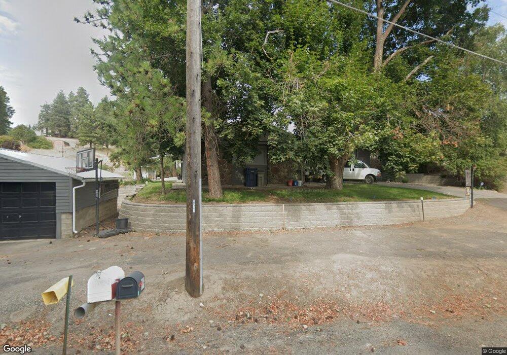
4113 E Jamieson Rd Spokane, WA 99223
Moran Prairie NeighborhoodEstimated Value: $730,000 - $1,113,000
4
Beds
4
Baths
4,380
Sq Ft
$203/Sq Ft
Est. Value
About This Home
This home is located at 4113 E Jamieson Rd, Spokane, WA 99223 and is currently estimated at $889,553, approximately $203 per square foot. 4113 E Jamieson Rd is a home located in Spokane County with nearby schools including Moran Prairie Elementary School, Chase Middle School, and Ferris High School.
Ownership History
Date
Name
Owned For
Owner Type
Purchase Details
Closed on
May 25, 2011
Sold by
Sieler John Jay
Bought by
Massender Neil S and Massender Amanda K
Current Estimated Value
Home Financials for this Owner
Home Financials are based on the most recent Mortgage that was taken out on this home.
Original Mortgage
$251,750
Outstanding Balance
$174,632
Interest Rate
4.84%
Mortgage Type
New Conventional
Estimated Equity
$714,921
Create a Home Valuation Report for This Property
The Home Valuation Report is an in-depth analysis detailing your home's value as well as a comparison with similar homes in the area
Home Values in the Area
Average Home Value in this Area
Purchase History
| Date | Buyer | Sale Price | Title Company |
|---|---|---|---|
| Massender Neil S | $265,280 | Pacific Northwest Title |
Source: Public Records
Mortgage History
| Date | Status | Borrower | Loan Amount |
|---|---|---|---|
| Open | Massender Neil S | $251,750 |
Source: Public Records
Tax History Compared to Growth
Tax History
| Year | Tax Paid | Tax Assessment Tax Assessment Total Assessment is a certain percentage of the fair market value that is determined by local assessors to be the total taxable value of land and additions on the property. | Land | Improvement |
|---|---|---|---|---|
| 2025 | $7,906 | $837,100 | $307,600 | $529,500 |
| 2024 | $7,906 | $764,700 | $287,900 | $476,800 |
| 2023 | $6,926 | $764,700 | $287,900 | $476,800 |
| 2022 | $5,758 | $686,900 | $258,200 | $428,700 |
| 2021 | $2,729 | $449,200 | $159,100 | $290,100 |
| 2020 | $5,334 | $422,700 | $159,100 | $263,600 |
| 2019 | $4,992 | $404,700 | $154,100 | $250,600 |
| 2018 | $5,380 | $371,800 | $149,100 | $222,700 |
| 2017 | $5,073 | $354,400 | $149,100 | $205,300 |
| 2016 | $4,858 | $333,100 | $149,100 | $184,000 |
| 2015 | $3,600 | $248,500 | $149,100 | $99,400 |
| 2014 | -- | $245,100 | $149,100 | $96,000 |
| 2013 | -- | $0 | $0 | $0 |
Source: Public Records
Map
Nearby Homes
- 6815 S Palouse Hwy
- 6624 S Ben Burr Rd
- 6205 S Dearborn Rd
- 7525 S Regal Rd
- 3409 E 64th Ct
- 5412 E Jamieson Rd
- 3514 E 61st Ave
- 5915 S Dearborn Rd
- 6219 S Moran Dr
- 6304 S Deanna Ct
- 6210 S Paula Ct
- 5906 S Donora Dr
- 7406 S Deerview Ln
- 3006 E 62nd Ave
- 5716 S Moran Dr
- 6105 S Regal St
- 5106 E Glennaire Dr
- 2815 E 62nd Ln
- 6725 S Prairie View Ln
- 5506 S Southview Ln
- 4010 E Jamieson Rd
- 4015 E Jamieson Rd
- 4212 E Jamieson Rd
- 4216 E Jamieson Rd
- 7215 S Palouse Hwy
- 7312 S Palouse Hwy
- 7524 S Ellis Rd
- 7416 S Palouse Hwy
- 6823 S Palouse Hwy
- 7726 S Cuba St
- 0 S Ellis Rd
- 7202 S Palouse Hwy
- 4515 E Jamieson Rd
- 7516 S Palouse Hwy
- 7206 S Palouse Hwy
- 7222 S Palouse Hwy
- 7524 S Palouse Hwy
- 4407 E Jamieson Rd
- 4407 E Jamieson Rd
- 7721 S Cuba St