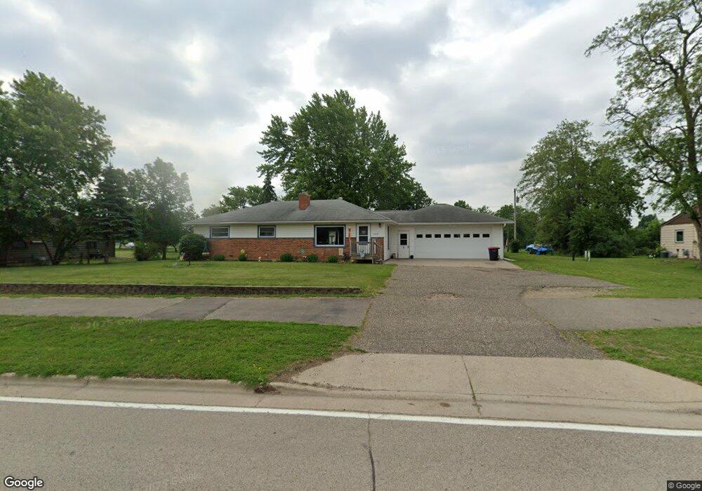
4119 Highway 61 W Red Wing, MN 55066
Estimated Value: $322,000 - $345,000
3
Beds
2
Baths
2,106
Sq Ft
$159/Sq Ft
Est. Value
About This Home
This home is located at 4119 Highway 61 W, Red Wing, MN 55066 and is currently estimated at $334,337, approximately $158 per square foot. 4119 Highway 61 W is a home located in Goodhue County with nearby schools including Burnside Elementary School, Sunnyside Elementary School, and Twin Bluff Middle School.
Ownership History
Date
Name
Owned For
Owner Type
Purchase Details
Closed on
Jun 2, 2015
Sold by
Karwand Eldon and Barbara S Karwand Marital Trus
Bought by
Beyers Kelly B and Beyers Ruth A
Current Estimated Value
Purchase Details
Closed on
Jun 27, 1997
Sold by
Partch Joseph E and Partch Katherine A
Bought by
Karwand Elwood C and Karwand Barbara S
Create a Home Valuation Report for This Property
The Home Valuation Report is an in-depth analysis detailing your home's value as well as a comparison with similar homes in the area
Home Values in the Area
Average Home Value in this Area
Purchase History
| Date | Buyer | Sale Price | Title Company |
|---|---|---|---|
| Beyers Kelly B | -- | Attorney | |
| Karwand Eldon | -- | Attorney | |
| Karwand Elwood C | $108,000 | -- |
Source: Public Records
Tax History Compared to Growth
Tax History
| Year | Tax Paid | Tax Assessment Tax Assessment Total Assessment is a certain percentage of the fair market value that is determined by local assessors to be the total taxable value of land and additions on the property. | Land | Improvement |
|---|---|---|---|---|
| 2025 | $6,178 | $293,000 | $52,800 | $240,200 |
| 2024 | $6,178 | $289,100 | $52,800 | $236,300 |
| 2023 | $2,913 | $273,100 | $52,800 | $220,300 |
| 2022 | $4,806 | $271,400 | $52,800 | $218,600 |
| 2021 | $4,436 | $231,800 | $52,800 | $179,000 |
| 2020 | $3,380 | $220,200 | $52,800 | $167,400 |
| 2019 | $2,992 | $205,400 | $52,800 | $152,600 |
| 2018 | $2,412 | $206,600 | $51,200 | $155,400 |
| 2017 | $2,378 | $181,900 | $51,200 | $130,700 |
| 2016 | $2,174 | $181,500 | $51,200 | $130,300 |
| 2015 | $2,086 | $175,100 | $51,200 | $123,900 |
| 2014 | -- | $168,100 | $51,200 | $116,900 |
Source: Public Records
Map
Nearby Homes
- 168 Johnson Ave
- 132 Motel Ave
- 237 Motel Ave
- 240 Motel Ave
- 232 Fern Ave
- 4336 Lookout Ln
- 135 Kingswood Dr
- 980 Aurora Cir
- 936 Aurora Cir
- 3560 Graves Dr
- 853 Aurora Cir
- 808 Aurora Cir
- 912 Aurora Cir
- 4739 Big Sky Ct
- 4786 Mount Hood Ln
- 906 Snowbird Dr
- 921 Snowbird Dr
- 910 Snowbird Dr
- 914 Snowbird Dr
- 3463 Briarview Ct
- 4135 Highway 61 W
- 4109 Highway 61 W
- 128 Johnson Ave
- 4143 Highway 61 W
- 142 Johnson Ave
- 4149 Highway 61 W
- 121 Hanson Ave
- 4128 Raymond St
- 4157 Highway 61 W
- 109 Finrud Ave
- 4136 Raymond St
- 101 Hanson Ave
- 119 Finrud Ave
- 4173 Highway 61 W
- 4146 Raymond St
- 4109 Jagusch Dr
- 4119 Jagusch Dr
- 4154 Raymond St
- 134 Hanson Ave
- 4063 Jagusch Dr