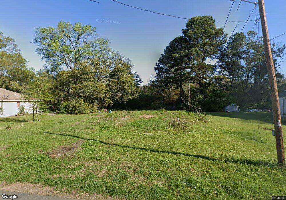
412 Memory Ln Vivian, LA 71082
Estimated Value: $49,774 - $93,000
4
Beds
2
Baths
2,052
Sq Ft
$35/Sq Ft
Est. Value
About This Home
This home is located at 412 Memory Ln, Vivian, LA 71082 and is currently estimated at $71,944, approximately $35 per square foot. 412 Memory Ln is a home located in Caddo Parish with nearby schools including Judson Fundamental Elementary School, Fairfield Magnet School, and Herndon Magnet School.
Ownership History
Date
Name
Owned For
Owner Type
Purchase Details
Closed on
Jun 28, 2024
Sold by
Parish Of Caddo
Bought by
Masiki Angelina
Current Estimated Value
Purchase Details
Closed on
Jul 8, 2022
Sold by
World Image Llc
Bought by
State Of Louisiana
Purchase Details
Closed on
Jun 7, 2017
Sold by
The Secretary Of Housing And Urban Devel
Bought by
Worldwide Image Llc
Purchase Details
Closed on
Aug 12, 2013
Sold by
Bank Of America Na
Bought by
Secretary Housing Urban Development
Purchase Details
Closed on
Aug 7, 2013
Sold by
Dupree Angela Denise and Dupree Angela D
Bought by
Bank Of America Na
Create a Home Valuation Report for This Property
The Home Valuation Report is an in-depth analysis detailing your home's value as well as a comparison with similar homes in the area
Home Values in the Area
Average Home Value in this Area
Purchase History
| Date | Buyer | Sale Price | Title Company |
|---|---|---|---|
| Masiki Angelina | $379 | None Listed On Document | |
| State Of Louisiana | $688 | None Listed On Document | |
| Worldwide Image Llc | -- | M&M Title | |
| Secretary Housing Urban Development | $106,304 | None Available | |
| Bank Of America Na | $40,000 | None Available |
Source: Public Records
Tax History
| Year | Tax Paid | Tax Assessment Tax Assessment Total Assessment is a certain percentage of the fair market value that is determined by local assessors to be the total taxable value of land and additions on the property. | Land | Improvement |
|---|---|---|---|---|
| 2025 | $39 | $227 | $227 | $0 |
| 2024 | $39 | $227 | $227 | $0 |
| 2023 | $38 | $216 | $216 | $0 |
| 2022 | $38 | $216 | $216 | $0 |
| 2021 | $323 | $1,425 | $216 | $1,209 |
| 2020 | $322 | $1,425 | $216 | $1,209 |
| 2019 | $319 | $1,425 | $216 | $1,209 |
| 2018 | $288 | $1,425 | $216 | $1,209 |
| 2017 | $318 | $1,425 | $216 | $1,209 |
| 2015 | $248 | $1,150 | $220 | $930 |
| 2014 | $249 | $1,150 | $220 | $930 |
| 2013 | -- | $1,150 | $220 | $930 |
Source: Public Records
Map
Nearby Homes
- 325 E Oklahoma Ave
- 9420 Hosston Rd
- 62011 Rebel Heights Rd
- 1005 S Cypress St
- 612 S Cypress St
- 109 N Huckaby St
- 223 W Virginia Ave
- 9008 Hosston Vivian Rd
- 101 N Walnut St
- 210 W Mississippi Ave
- 0 Camelia St
- 307 Gilbert Dr
- 1 E Mary Ann St
- 0 E Mary Ann St
- 0 Boyter Ln
- Lot 14 Peaceful Pines Ln
- Lot 4 Peaceful Pines Ln
- Lot 2 Peaceful Pines Ln
- Lot 6 Peaceful Pines Ln
- Lot 5 Peaceful Pines Ln
- 410 Memory Ln
- 103 Patton St
- 406 Memory Ln
- 406 Memory Ln
- 503 Jackson St
- 505 Jackson St
- 109 Patton St
- 421 Memory Ln
- 422 Memory Ln
- 605 Jackson St
- 606 Jackson St
- 806 S Pardue St
- 402 Memory Ln Unit 4
- 411 Jackson St
- 508 Jackson St
- 0 Jackson St
- 412 Jackson St
- 409 Jackson St
- 504 N Mary St
- 407 Jackson St Unit 22
Your Personal Tour Guide
Ask me questions while you tour the home.