412 Rock View Trail Unit 22 Maylene, AL 35114
Estimated Value: $284,000 - $299,000
3
Beds
2
Baths
1,635
Sq Ft
$177/Sq Ft
Est. Value
About This Home
This home is located at 412 Rock View Trail Unit 22, Maylene, AL 35114 and is currently estimated at $290,022, approximately $177 per square foot. 412 Rock View Trail Unit 22 is a home located in Shelby County with nearby schools including Thompson Intermediate School, Thompson Middle School, and Thompson High School.
Ownership History
Date
Name
Owned For
Owner Type
Purchase Details
Closed on
Jul 28, 2016
Sold by
Estep Paul W and Estep Kelly B
Bought by
Brown Donna J
Current Estimated Value
Home Financials for this Owner
Home Financials are based on the most recent Mortgage that was taken out on this home.
Original Mortgage
$89,500
Outstanding Balance
$71,549
Interest Rate
3.54%
Mortgage Type
New Conventional
Estimated Equity
$218,473
Purchase Details
Closed on
Apr 27, 2007
Sold by
Adams Homes Llc
Bought by
Estep Ii Paul W and Estep Kelly B
Home Financials for this Owner
Home Financials are based on the most recent Mortgage that was taken out on this home.
Original Mortgage
$135,920
Interest Rate
6.11%
Mortgage Type
Unknown
Create a Home Valuation Report for This Property
The Home Valuation Report is an in-depth analysis detailing your home's value as well as a comparison with similar homes in the area
Home Values in the Area
Average Home Value in this Area
Purchase History
| Date | Buyer | Sale Price | Title Company |
|---|---|---|---|
| Brown Donna J | $164,500 | Indecomm Global Svcs | |
| Estep Ii Paul W | $169,900 | None Available |
Source: Public Records
Mortgage History
| Date | Status | Borrower | Loan Amount |
|---|---|---|---|
| Open | Brown Donna J | $89,500 | |
| Previous Owner | Estep Ii Paul W | $135,920 |
Source: Public Records
Tax History
| Year | Tax Paid | Tax Assessment Tax Assessment Total Assessment is a certain percentage of the fair market value that is determined by local assessors to be the total taxable value of land and additions on the property. | Land | Improvement |
|---|---|---|---|---|
| 2024 | $1,446 | $26,780 | $0 | $0 |
| 2023 | $1,171 | $24,960 | $0 | $0 |
| 2022 | $0 | $20,560 | $0 | $0 |
| 2021 | $799 | $18,640 | $0 | $0 |
| 2020 | $799 | $17,640 | $0 | $0 |
| 2019 | $799 | $17,140 | $0 | $0 |
| 2017 | $572 | $15,980 | $0 | $0 |
| 2015 | $1,624 | $30,080 | $0 | $0 |
| 2014 | $1,587 | $29,380 | $0 | $0 |
Source: Public Records
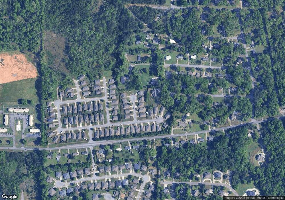
Map
Nearby Homes
- 2001 1st Ave W
- 1805 Mohawk Dr
- 135 Kingsley Rd
- 124 Kingsley Rd
- 109 Kingsley Cir
- 120 Mayfair Park
- 306 Mayfair Cir
- 208 Queens Gate
- 542 Navajo Trail
- 1349 Old Boston Rd
- 501 Ramsgate Dr
- 236 Queens Gate
- 1317 Old Boston Rd
- 105 Abington Cir
- 312 Cornwall Dr
- 537 Ramsgate Dr
- 1317 W Navajo Dr
- 544 Ramsgate Dr
- 305 Cedar Grove Ct
- 309 Cedar Grove Ct
- 412 Rock View Trail Unit TRL
- 412 Rock View Trail
- 408 Rock View Trail
- 416 Rock View Trail
- 404 Rock View Trail
- 208 Stoney Trail
- 101 Lucas Ln
- 101 Lucas Ln Unit 101
- 101 Lucas Ln Unit 1
- 101 Lucas Ln Unit 1
- 101 Lucas Ln Unit 101
- 413 Rock View Trail Unit 25
- 413 Rock View Trail
- 204 Stoney Trail
- 400 Rock View Trail
- 409 Rock View Trail
- 417 Rockview Trail
- 405 Rock View Trail
- 401 Rock View Trail
- 131 Lucas Ln
Your Personal Tour Guide
Ask me questions while you tour the home.