412 Turnpike Rd Ashford, CT 06278
Estimated Value: $515,274 - $659,000
3
Beds
3
Baths
2,026
Sq Ft
$287/Sq Ft
Est. Value
About This Home
This home is located at 412 Turnpike Rd, Ashford, CT 06278 and is currently estimated at $582,319, approximately $287 per square foot. 412 Turnpike Rd is a home located in Windham County with nearby schools including Ashford School and E.O. Smith High School.
Ownership History
Date
Name
Owned For
Owner Type
Purchase Details
Closed on
May 16, 2001
Sold by
Hite Harry M and Hite Carla M
Bought by
Balkus Brian K and Almquist Mary Angela
Current Estimated Value
Home Financials for this Owner
Home Financials are based on the most recent Mortgage that was taken out on this home.
Original Mortgage
$184,000
Interest Rate
7.03%
Purchase Details
Closed on
Aug 25, 1998
Sold by
Crossen Builders Inc
Bought by
Hite Harry M and Hite Carla M
Create a Home Valuation Report for This Property
The Home Valuation Report is an in-depth analysis detailing your home's value as well as a comparison with similar homes in the area
Home Values in the Area
Average Home Value in this Area
Purchase History
| Date | Buyer | Sale Price | Title Company |
|---|---|---|---|
| Balkus Brian K | $230,000 | -- | |
| Balkus Brian K | $230,000 | -- | |
| Hite Harry M | $197,500 | -- | |
| Hite Harry M | $197,500 | -- |
Source: Public Records
Mortgage History
| Date | Status | Borrower | Loan Amount |
|---|---|---|---|
| Open | Hite Harry M | $220,100 | |
| Closed | Hite Harry M | $184,000 | |
| Previous Owner | Hite Harry M | $192,000 |
Source: Public Records
Tax History Compared to Growth
Tax History
| Year | Tax Paid | Tax Assessment Tax Assessment Total Assessment is a certain percentage of the fair market value that is determined by local assessors to be the total taxable value of land and additions on the property. | Land | Improvement |
|---|---|---|---|---|
| 2025 | $8,144 | $223,860 | $60,410 | $163,450 |
| 2024 | $7,692 | $223,860 | $60,410 | $163,450 |
| 2023 | $7,408 | $223,860 | $60,410 | $163,450 |
| 2022 | $7,224 | $223,860 | $60,410 | $163,450 |
| 2021 | $7,278 | $200,100 | $56,700 | $143,400 |
| 2020 | $7,372 | $200,100 | $56,700 | $143,400 |
| 2019 | $7,096 | $200,100 | $56,700 | $143,400 |
| 2018 | $6,957 | $200,100 | $56,700 | $143,400 |
| 2017 | $6,877 | $200,100 | $56,700 | $143,400 |
| 2016 | $6,218 | $192,100 | $68,100 | $124,000 |
| 2015 | $6,332 | $192,100 | $68,100 | $124,000 |
| 2014 | $6,178 | $192,100 | $68,100 | $124,000 |
Source: Public Records
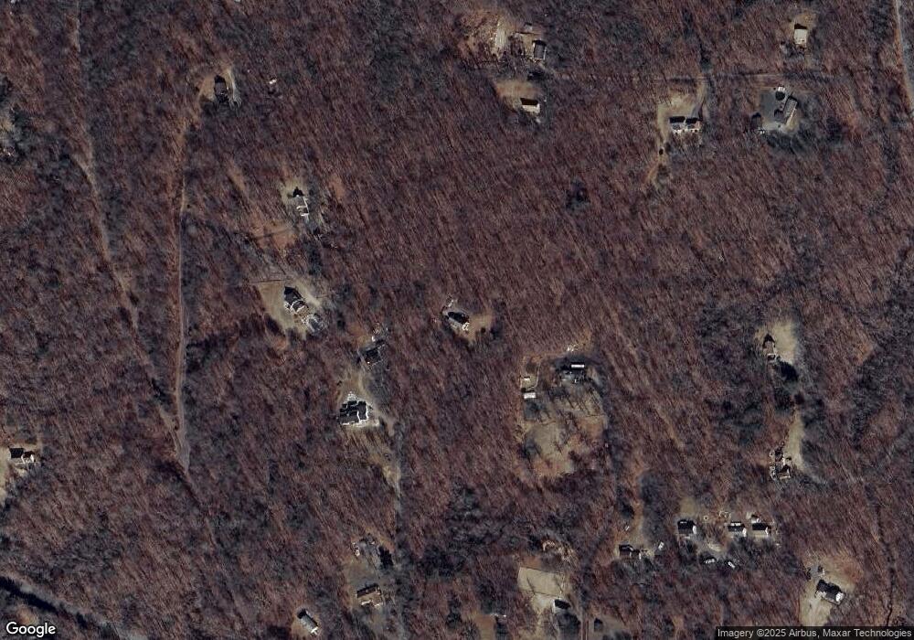
Map
Nearby Homes
- 329 Turnpike Rd
- 0 Chatey Rd
- 12 Armitage Ct
- 12 Union Dr
- 173 Westford Hill Rd
- 0 Lohse Rd Unit map 42 block 21
- 0 Jared Sparks Rd
- 21 Ashley Ln
- 61 Lohse Rd
- 57 Lohse Rd
- 150 Krapf Rd
- 2 Old Barrows Rd
- 102 Krapf Rd
- 8 South Rd Unit W86
- 8 South Rd Unit WW4
- 8 South Rd Unit R80
- 8 South Rd Unit R29
- 184 Village Hill Rd
- 28 Cemetery Rd
- 0 River Rd Unit 24120753
- 388 Turnpike Rd
- 414 Turnpike Rd
- 430 Turnpike Rd
- 77 Armitage Rd
- 432 Turnpike Rd
- 79 Armitage Rd
- 73 Armitage Rd
- 382 Turnpike Rd
- 37 Armitage Rd
- 374 Turnpike Rd
- 416 Turnpike Rd
- 434 Turnpike Rd
- 372 Turnpike Rd
- 35 Armitage Rd
- 404 Turnpike Rd
- 394 Turnpike Rd
- 97 Armitage Rd
- 422 Turnpike Rd
- 75 Armitage Rd
- 390 Turnpike Rd