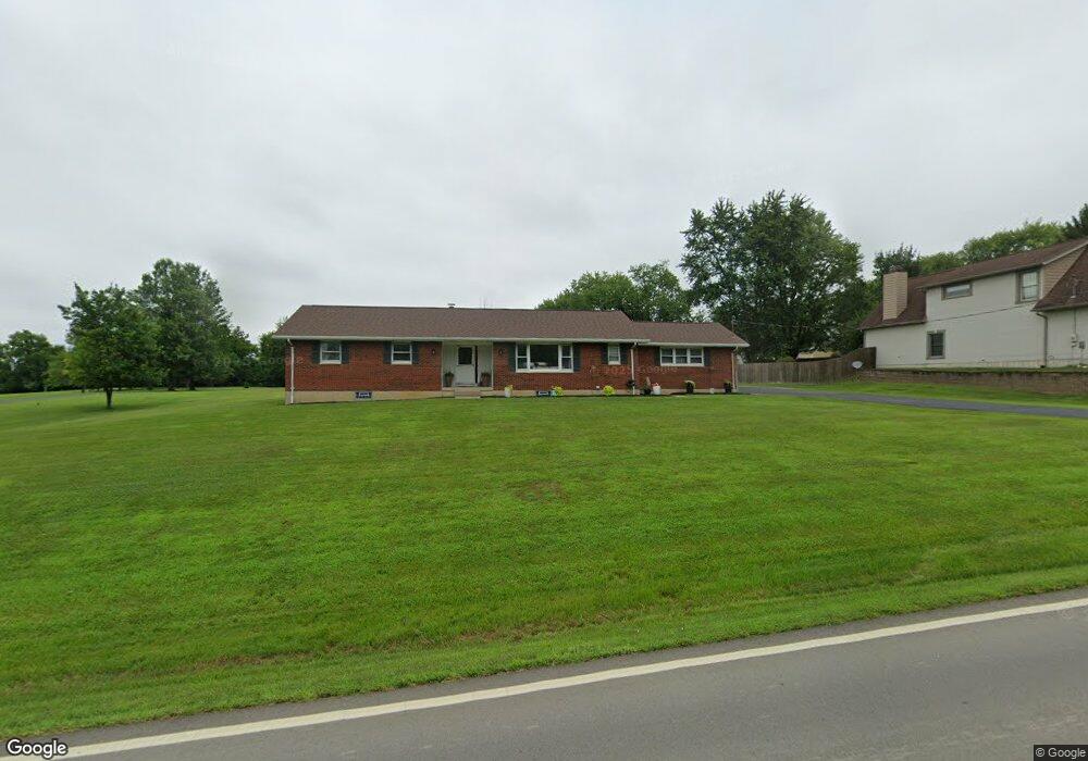
4120 Beal Rd Franklin, OH 45005
Estimated Value: $315,000 - $365,000
3
Beds
3
Baths
1,838
Sq Ft
$184/Sq Ft
Est. Value
About This Home
This home is located at 4120 Beal Rd, Franklin, OH 45005 and is currently estimated at $337,822, approximately $183 per square foot. 4120 Beal Rd is a home located in Warren County with nearby schools including Franklin High School.
Ownership History
Date
Name
Owned For
Owner Type
Purchase Details
Closed on
Mar 11, 2022
Sold by
Kenneth L Scearce Trust
Bought by
Blevins Zachary Cole and Kirby Chloe Elizabeth
Current Estimated Value
Purchase Details
Closed on
Nov 2, 2021
Sold by
Scearce Kenneth L
Bought by
Kenneth L Scearce Trust
Purchase Details
Closed on
Aug 2, 2010
Sold by
Scearce Kenneth L
Bought by
Scearce Kenneth L and Kenneth L Scearce Trust
Purchase Details
Closed on
Jan 4, 1985
Sold by
Scearce Scearce and Scearce Kenneth L
Bought by
Scearce Scearce and Scearce Kenneth L
Purchase Details
Closed on
Mar 1, 1982
Sold by
Montgomery Montgomery and Montgomery Carl Edward
Purchase Details
Closed on
Jul 2, 1980
Sold by
Montgomery Montgomery and Montgomery Wiley
Create a Home Valuation Report for This Property
The Home Valuation Report is an in-depth analysis detailing your home's value as well as a comparison with similar homes in the area
Home Values in the Area
Average Home Value in this Area
Purchase History
| Date | Buyer | Sale Price | Title Company |
|---|---|---|---|
| Blevins Zachary Cole | $260,000 | None Listed On Document | |
| Kenneth L Scearce Trust | -- | -- | |
| Scearce Kenneth L | -- | Attorney | |
| Scearce Scearce | -- | -- | |
| -- | $68,000 | -- | |
| -- | -- | -- |
Source: Public Records
Tax History
| Year | Tax Paid | Tax Assessment Tax Assessment Total Assessment is a certain percentage of the fair market value that is determined by local assessors to be the total taxable value of land and additions on the property. | Land | Improvement |
|---|---|---|---|---|
| 2025 | $4,218 | $89,620 | $15,940 | $73,680 |
| 2024 | $4,218 | $89,620 | $15,940 | $73,680 |
| 2023 | $3,776 | $71,998 | $11,984 | $60,014 |
| 2022 | $3,786 | $71,999 | $11,984 | $60,015 |
| 2021 | $3,091 | $71,999 | $11,984 | $60,015 |
| 2020 | $3,047 | $63,714 | $10,605 | $53,109 |
| 2019 | $2,772 | $63,714 | $10,605 | $53,109 |
| 2018 | $2,727 | $63,714 | $10,605 | $53,109 |
| 2017 | $2,686 | $57,411 | $9,744 | $47,667 |
| 2016 | $2,738 | $57,411 | $9,744 | $47,667 |
| 2015 | $1,369 | $57,411 | $9,744 | $47,667 |
| 2014 | $2,470 | $52,200 | $8,870 | $43,330 |
| 2013 | $2,121 | $62,430 | $10,590 | $51,840 |
Source: Public Records
Map
Nearby Homes
- 4100 Beal Rd
- 6 Beal Rd
- 3935 Anthony Ln
- 6510 State Route 123
- 6510 Ohio 123
- 5604 Ohio 123
- 5604 State Route 123
- 3574 Mclean Rd
- 29 Louise Dr
- 995 E 4th St
- 45 Copperhead Trail
- 25 Copperhead Trail
- 0 Kathy Ln Unit 954617
- 0 Kathy Ln Unit 1834240
- 45 Libby Hollow St
- 5839 Shaker Rd
- 25 Timber Creek Dr
- 65 Timber Creek Dr
- 100 Pleasant Hill Blvd
- 5684 Olive Rd
Your Personal Tour Guide
Ask me questions while you tour the home.