4120 Bob Jones Dr NE Unit 23 Conover, NC 28613
Estimated Value: $734,000 - $947,099
3
Beds
4
Baths
3,681
Sq Ft
$232/Sq Ft
Est. Value
About This Home
This home is located at 4120 Bob Jones Dr NE Unit 23, Conover, NC 28613 and is currently estimated at $855,525, approximately $232 per square foot. 4120 Bob Jones Dr NE Unit 23 is a home located in Catawba County with nearby schools including Oxford Elementary School, River Bend Middle School, and Bunker Hill High School.
Ownership History
Date
Name
Owned For
Owner Type
Purchase Details
Closed on
Jul 16, 2009
Sold by
Rock Barn Properties Inc
Bought by
Ross Forrest David and Ross Jeania Miller
Current Estimated Value
Create a Home Valuation Report for This Property
The Home Valuation Report is an in-depth analysis detailing your home's value as well as a comparison with similar homes in the area
Home Values in the Area
Average Home Value in this Area
Purchase History
| Date | Buyer | Sale Price | Title Company |
|---|---|---|---|
| Ross Forrest David | $150,000 | None Available |
Source: Public Records
Tax History Compared to Growth
Tax History
| Year | Tax Paid | Tax Assessment Tax Assessment Total Assessment is a certain percentage of the fair market value that is determined by local assessors to be the total taxable value of land and additions on the property. | Land | Improvement |
|---|---|---|---|---|
| 2025 | $5,440 | $685,600 | $83,200 | $602,400 |
| 2024 | $5,440 | $685,600 | $83,200 | $602,400 |
| 2023 | $5,440 | $555,600 | $73,900 | $481,700 |
| 2022 | $5,973 | $555,600 | $73,900 | $481,700 |
| 2021 | $5,973 | $555,600 | $73,900 | $481,700 |
| 2020 | $5,973 | $555,600 | $73,900 | $481,700 |
| 2019 | $5,973 | $555,600 | $0 | $0 |
| 2018 | $6,139 | $571,100 | $83,200 | $487,900 |
| 2017 | $5,968 | $0 | $0 | $0 |
| 2016 | $5,968 | $0 | $0 | $0 |
| 2015 | $5,778 | $571,100 | $83,200 | $487,900 |
| 2014 | $5,778 | $621,300 | $143,200 | $478,100 |
Source: Public Records
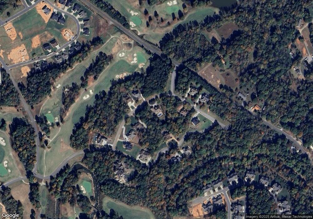
Map
Nearby Homes
- 4066 Bob Jones Dr NE
- 2757 Trent Dr NE
- 4047 Stadler Dr NE
- 4173 Holly Cir NE
- 2767 Player Cir NE Unit 120-121A
- 4129 Holly Cir NE
- 4551 Holly Cir NE
- 4191 Holly Cir NE Unit 37
- 2627 Vista Ln NE
- 4122 Ridge Dr NE Unit 86
- 3996 Deer Run Dr NE
- 4177 Ridge Dr NE Unit 1
- 2846 Snead Ct NE
- 2602 Birdie Ln NE
- 2774 Palmer Dr NE
- 2519 Birdie Ln NE Unit 1
- 2488 Compass St
- 3646 Hogan Ct NE
- 2488 Birdie Ln NE
- 3771 Sarazen Ct NE
- 4108 Bob Jones Dr NE Unit 24
- 4136 Bob Jones Dr NE Unit 22
- 4092 Bob Jones Dr NE
- 2762 Trent Dr NE Unit 19
- 2762 Trent Dr NE
- 2748 Trent Dr NE
- 4158 Bob Jones Dr NE
- 4117 Bob Jones Dr NE
- 2734 Trent Dr NE Unit 17
- 2734 Trent Dr NE
- Lot 27 Bob Jones Dr NE Unit 27
- 4105 Bob Jones Dr NE Unit 32
- 4105 Bob Jones Dr NE
- 4078 Bob Jones Dr NE Unit 26
- 4078 Bob Jones Dr NE
- 4145 Bob Jones Dr NE Unit 15
- 4145 Bob Jones Dr NE
- 4097 Bob Jones Dr NE Unit 31
- 2782 Trent Dr NE Unit 20
- 4172 Bob Jones Dr NE