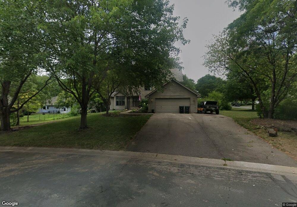
4127 Lantern Ln Saint Paul, MN 55123
Estimated Value: $487,000 - $563,000
5
Beds
3
Baths
2,110
Sq Ft
$244/Sq Ft
Est. Value
About This Home
This home is located at 4127 Lantern Ln, Saint Paul, MN 55123 and is currently estimated at $514,562, approximately $243 per square foot. 4127 Lantern Ln is a home located in Dakota County with nearby schools including Pinewood Elementary School, Dakota Hills Middle School, and Eagan Senior High School.
Ownership History
Date
Name
Owned For
Owner Type
Purchase Details
Closed on
Feb 19, 2020
Sold by
Gray Keith R and Gray Joy E
Bought by
Waldschmidt Brandon and Waldschmidt Allison
Current Estimated Value
Home Financials for this Owner
Home Financials are based on the most recent Mortgage that was taken out on this home.
Original Mortgage
$292,480
Outstanding Balance
$258,971
Interest Rate
3.6%
Mortgage Type
New Conventional
Estimated Equity
$255,591
Create a Home Valuation Report for This Property
The Home Valuation Report is an in-depth analysis detailing your home's value as well as a comparison with similar homes in the area
Home Values in the Area
Average Home Value in this Area
Purchase History
| Date | Buyer | Sale Price | Title Company |
|---|---|---|---|
| Waldschmidt Brandon | $365,600 | Dca Title |
Source: Public Records
Mortgage History
| Date | Status | Borrower | Loan Amount |
|---|---|---|---|
| Open | Waldschmidt Brandon | $292,480 |
Source: Public Records
Tax History Compared to Growth
Tax History
| Year | Tax Paid | Tax Assessment Tax Assessment Total Assessment is a certain percentage of the fair market value that is determined by local assessors to be the total taxable value of land and additions on the property. | Land | Improvement |
|---|---|---|---|---|
| 2024 | $4,520 | $431,800 | $108,600 | $323,200 |
| 2023 | $4,520 | $416,200 | $108,900 | $307,300 |
| 2022 | $4,160 | $417,000 | $108,700 | $308,300 |
| 2021 | $3,966 | $372,700 | $94,500 | $278,200 |
| 2020 | $3,926 | $348,400 | $90,000 | $258,400 |
| 2019 | $3,776 | $336,400 | $85,700 | $250,700 |
| 2018 | $3,333 | $340,800 | $81,600 | $259,200 |
| 2017 | $3,493 | $294,800 | $77,800 | $217,000 |
| 2016 | $3,491 | $282,300 | $74,000 | $208,300 |
| 2015 | $3,398 | $267,524 | $70,804 | $196,720 |
| 2014 | -- | $264,036 | $68,779 | $195,257 |
| 2013 | -- | $228,393 | $61,292 | $167,101 |
Source: Public Records
Map
Nearby Homes
- 4072 Prairie Ridge Rd
- 591 Autumn Oaks Ct
- 4001 Haven Woods Ct
- 3998 Haven Woods Ct
- 4080 Camberwell Dr N
- 711 Stonebridge Cir
- 680 Brockton Curve
- 593 Coventry Pkwy
- 4027 Camberwell Dr N
- 4358 Yorktown Dr
- 782 Summerbrooke Ct
- 790 Summerbrooke Ct
- 785 Canter Glen Cir
- 4231 Yorktown Dr
- 699 Calvin Ct
- 4125 Pennsylvania Ave
- 9451 Esk Ln
- 4124 New York Ave
- 4274 Maclaren Place
- 4162 Pennsylvania Ave
- 642 Witham Ln
- 615 Wildflower Way
- xxx Witham Ln
- 619 Wildflower Way
- 4064 Prairie Ridge Rd
- 623 Wildflower Way
- 646 Witham Ln
- 641 Witham Ln
- 4126 Lantern Ln
- 4130 Lantern Ln
- 4063 Prairie Ridge Rd
- 645 Witham Ln
- 654 Witham Ln
- 4068 Prairie Ridge Rd
- 4134 Lantern Ln
- 649 Witham Ln
- 650 Witham Ln
- 627 Wildflower Way
- 4067 Prairie Ridge Rd
- 614 Wildflower Way