413 W 4th St Lostant, IL 61334
Estimated Value: $137,478 - $208,000
3
Beds
3
Baths
1,568
Sq Ft
$108/Sq Ft
Est. Value
About This Home
This home is located at 413 W 4th St, Lostant, IL 61334 and is currently estimated at $169,870, approximately $108 per square foot. 413 W 4th St is a home located in LaSalle County with nearby schools including Lostant Elementary School.
Ownership History
Date
Name
Owned For
Owner Type
Purchase Details
Closed on
Jan 19, 2015
Sold by
Meisel Shelly L
Bought by
Grubar Frank
Current Estimated Value
Purchase Details
Closed on
Jun 24, 2008
Sold by
Mertes Daniel L and Mertes Danell E
Bought by
Grubar Frank and Grubar Shelly
Home Financials for this Owner
Home Financials are based on the most recent Mortgage that was taken out on this home.
Original Mortgage
$84,550
Interest Rate
6.1%
Mortgage Type
New Conventional
Purchase Details
Closed on
Sep 5, 2007
Sold by
Zeman Joseph and Zeman Rhonda
Bought by
Mertes Daniel
Home Financials for this Owner
Home Financials are based on the most recent Mortgage that was taken out on this home.
Original Mortgage
$35,000
Interest Rate
6.72%
Mortgage Type
Purchase Money Mortgage
Create a Home Valuation Report for This Property
The Home Valuation Report is an in-depth analysis detailing your home's value as well as a comparison with similar homes in the area
Home Values in the Area
Average Home Value in this Area
Purchase History
| Date | Buyer | Sale Price | Title Company |
|---|---|---|---|
| Grubar Frank | -- | -- | |
| Grubar Frank | $89,000 | None Available | |
| Mertes Daniel | $17,000 | None Available |
Source: Public Records
Mortgage History
| Date | Status | Borrower | Loan Amount |
|---|---|---|---|
| Previous Owner | Grubar Frank | $84,550 | |
| Previous Owner | Mertes Daniel | $35,000 |
Source: Public Records
Tax History Compared to Growth
Tax History
| Year | Tax Paid | Tax Assessment Tax Assessment Total Assessment is a certain percentage of the fair market value that is determined by local assessors to be the total taxable value of land and additions on the property. | Land | Improvement |
|---|---|---|---|---|
| 2024 | $3,390 | $35,598 | $2,236 | $33,362 |
| 2023 | $3,086 | $31,444 | $1,975 | $29,469 |
| 2022 | $2,831 | $27,859 | $1,750 | $26,109 |
| 2021 | $2,632 | $26,230 | $1,648 | $24,582 |
| 2020 | $3,008 | $26,144 | $1,643 | $24,501 |
| 2019 | $2,614 | $26,642 | $1,674 | $24,968 |
| 2018 | $2,656 | $26,581 | $1,670 | $24,911 |
| 2017 | $2,565 | $25,480 | $1,601 | $23,879 |
| 2016 | $2,343 | $23,469 | $1,475 | $21,994 |
| 2015 | $2,129 | $22,210 | $1,396 | $20,814 |
| 2012 | -- | $25,507 | $1,603 | $23,904 |
Source: Public Records
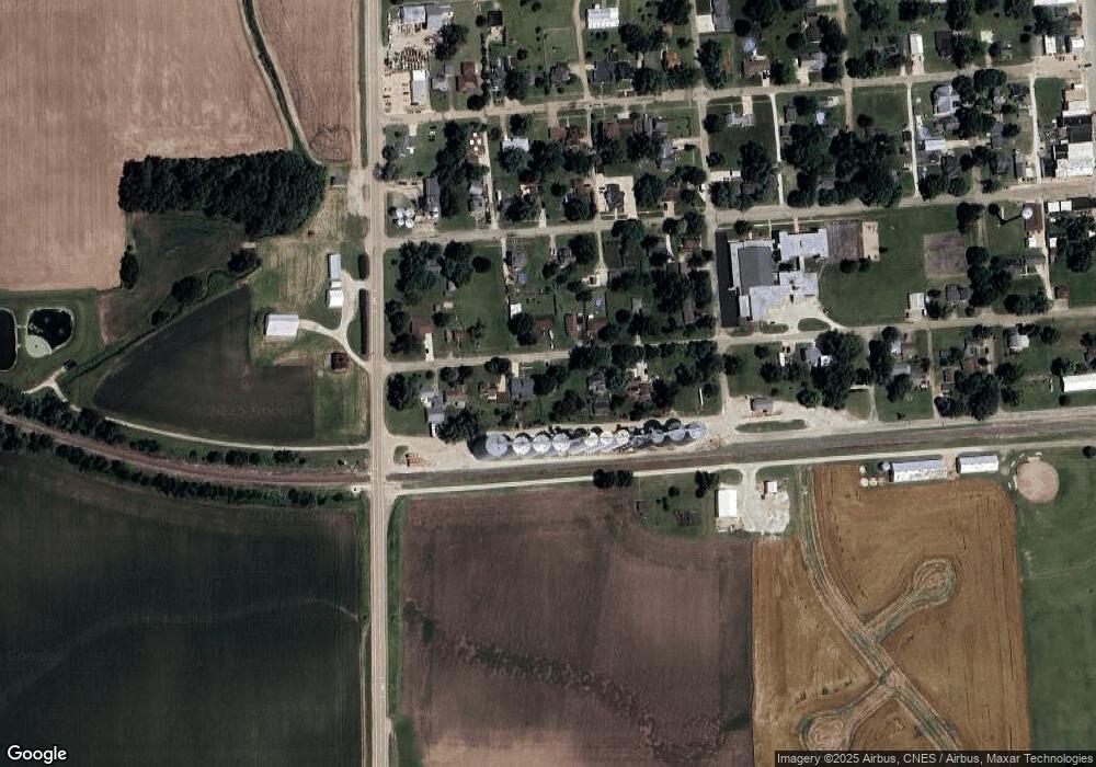
Map
Nearby Homes
- 412 W 2nd St
- 106 S Main St
- NE Corner Rte 251 & 18 Hwy
- 203 S 1st St
- 312 Walnut St
- 303 N Walnut St
- 307 S Hickory St
- 0000 E 6th Rd
- 2138 E 550th Rd
- 2711 E 800 N
- 2115 E 875th Rd
- 2236 N State Route 178
- 303 E 1st St
- 102 Maple St
- 0 Deerfield Estates Lot 79 Rd Unit 202503543
- 0 Deerfield Estates Lot 79 Rd Unit MRD12404452
- 2345 E 275th Rd
- 82 N 23rd Rd
- 0 4th Rd Unit 9191077
- Lot 5 Thirty Foot Trail Rd