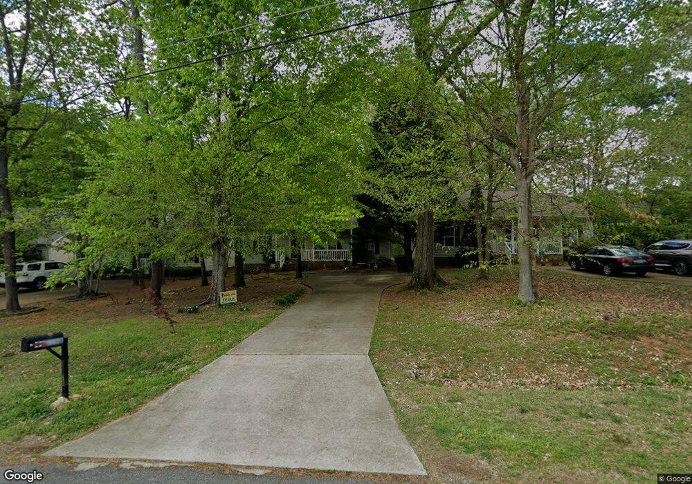
4134 Sheridan Rd Unit A Greensboro, NC 27455
Estimated Value: $256,684 - $266,000
3
Beds
2
Baths
1,200
Sq Ft
$217/Sq Ft
Est. Value
About This Home
This home is located at 4134 Sheridan Rd Unit A, Greensboro, NC 27455 and is currently estimated at $260,671, approximately $217 per square foot. 4134 Sheridan Rd Unit A is a home located in Guilford County with nearby schools including Jesse Wharton Elementary School, Mendenhall Middle School, and Page High School.
Ownership History
Date
Name
Owned For
Owner Type
Purchase Details
Closed on
Jan 29, 2010
Sold by
Fairweather Donald A
Bought by
Fairweather Jeanette M
Current Estimated Value
Purchase Details
Closed on
Feb 5, 2004
Sold by
R J Builders Inc
Bought by
Bunting Thomas W and Bunting Jacquelyn H
Home Financials for this Owner
Home Financials are based on the most recent Mortgage that was taken out on this home.
Original Mortgage
$124,900
Outstanding Balance
$61,769
Interest Rate
6.62%
Mortgage Type
Purchase Money Mortgage
Estimated Equity
$198,902
Purchase Details
Closed on
May 29, 2003
Sold by
R J Builders Inc
Bought by
Fairweather Donald A and Fairweather Jeanette M
Home Financials for this Owner
Home Financials are based on the most recent Mortgage that was taken out on this home.
Original Mortgage
$99,920
Interest Rate
5.79%
Mortgage Type
Purchase Money Mortgage
Create a Home Valuation Report for This Property
The Home Valuation Report is an in-depth analysis detailing your home's value as well as a comparison with similar homes in the area
Home Values in the Area
Average Home Value in this Area
Purchase History
| Date | Buyer | Sale Price | Title Company |
|---|---|---|---|
| Fairweather Jeanette M | -- | None Available | |
| Bunting Thomas W | $125,000 | -- | |
| Fairweather Donald A | $125,000 | -- |
Source: Public Records
Mortgage History
| Date | Status | Borrower | Loan Amount |
|---|---|---|---|
| Open | Bunting Thomas W | $124,900 | |
| Previous Owner | Fairweather Donald A | $99,920 | |
| Closed | Fairweather Donald A | $18,735 |
Source: Public Records
Tax History Compared to Growth
Tax History
| Year | Tax Paid | Tax Assessment Tax Assessment Total Assessment is a certain percentage of the fair market value that is determined by local assessors to be the total taxable value of land and additions on the property. | Land | Improvement |
|---|---|---|---|---|
| 2025 | $1,933 | $137,800 | $50,000 | $87,800 |
| 2024 | $1,933 | $137,800 | $50,000 | $87,800 |
| 2023 | $1,933 | $137,800 | $50,000 | $87,800 |
| 2022 | $1,878 | $137,800 | $50,000 | $87,800 |
| 2021 | $1,518 | $109,000 | $25,000 | $84,000 |
| 2020 | $1,518 | $109,000 | $25,000 | $84,000 |
| 2019 | $1,518 | $109,000 | $0 | $0 |
| 2018 | $1,475 | $109,000 | $0 | $0 |
| 2017 | $1,475 | $109,000 | $0 | $0 |
| 2016 | $1,484 | $107,200 | $0 | $0 |
| 2015 | $1,493 | $107,200 | $0 | $0 |
| 2014 | $1,503 | $107,200 | $0 | $0 |
Source: Public Records
Map
Nearby Homes
- 4403 Baylor St
- 4010 Primrose Ave
- 140 Wesley Harris Cir
- 16 Dunlevy Way Unit 25
- 10 Dunlevy Way Unit 28
- 5 Abelia Ct
- 2108 Cottage Place
- 1 Old Orchard Ln
- 39 Mansfield Cir
- 3702 Worthing Ct
- 47 Mansfield Cir
- 3704 Worthing Ct
- 5 Holly Springs Ln
- 2101 Abbott Dr
- 18 Park Village Ln Unit B
- 18 Park Village Ln Unit C
- 9 Whitdale Point
- 12 Park Village Ln Unit F
- 74 Park Village Ln
- 21 Pisgah Forest Cir
- 4134 Sheridan Rd
- 4136 Sheridan Rd Unit A
- 4136 Sheridan Rd
- 4138 Sheridan Rd
- 4131 Sheridan Rd
- 4123 Sheridan Rd
- 4129 Sheridan Rd
- 4139 Sheridan Rd
- 4125 Sheridan Rd
- 4141 Sheridan Rd
- 4115 Sheridan Rd
- 4111 Sheridan Rd
- 4113 Sheridan Rd
- 4130 Sheridan Rd Unit A
- 4205 Sheridan Rd
- 4116 Sheridan Rd
- 4132 Sheridan Rd
- 4114 Sheridan Rd
- 6 Stonehouse Ct
- 4107 Sheridan Rd