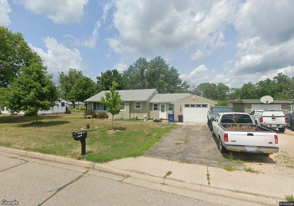
4136 Raymond St Red Wing, MN 55066
Estimated Value: $212,000 - $251,000
2
Beds
1
Bath
967
Sq Ft
$238/Sq Ft
Est. Value
About This Home
This home is located at 4136 Raymond St, Red Wing, MN 55066 and is currently estimated at $230,190, approximately $238 per square foot. 4136 Raymond St is a home located in Goodhue County with nearby schools including Burnside Elementary School, Sunnyside Elementary School, and Twin Bluff Middle School.
Ownership History
Date
Name
Owned For
Owner Type
Purchase Details
Closed on
Jul 28, 2020
Sold by
Angell Tiffany Marie and Angell Larson Tiffany
Bought by
Angell Tiffany M
Current Estimated Value
Purchase Details
Closed on
Jun 26, 2013
Bought by
Angell Tiffany Tiffany
Home Financials for this Owner
Home Financials are based on the most recent Mortgage that was taken out on this home.
Original Mortgage
$91,050
Interest Rate
3.93%
Purchase Details
Closed on
Sep 27, 2002
Sold by
Department Of Veterans Affairs Regional
Bought by
Deutsche Bank National Trust Company and Countrywide Home Loans
Purchase Details
Closed on
May 24, 2002
Sold by
Dept Of Veterans Affairs Regional Ln Ctr
Bought by
Angell Tiffany M
Create a Home Valuation Report for This Property
The Home Valuation Report is an in-depth analysis detailing your home's value as well as a comparison with similar homes in the area
Home Values in the Area
Average Home Value in this Area
Purchase History
| Date | Buyer | Sale Price | Title Company |
|---|---|---|---|
| Angell Tiffany M | -- | Knight Barry Ttl United Llc | |
| Angell Tiffany Tiffany | $91,100 | -- | |
| Deutsche Bank National Trust Company | $89,059 | -- | |
| Angell Tiffany M | $91,050 | -- |
Source: Public Records
Mortgage History
| Date | Status | Borrower | Loan Amount |
|---|---|---|---|
| Previous Owner | Angell Tiffany Tiffany | $91,050 | |
| Closed | Angell Tiffany M | -- |
Source: Public Records
Tax History Compared to Growth
Tax History
| Year | Tax Paid | Tax Assessment Tax Assessment Total Assessment is a certain percentage of the fair market value that is determined by local assessors to be the total taxable value of land and additions on the property. | Land | Improvement |
|---|---|---|---|---|
| 2025 | $2,122 | $185,300 | $61,000 | $124,300 |
| 2024 | -- | $182,800 | $61,000 | $121,800 |
| 2023 | $2,102 | $174,200 | $61,000 | $113,200 |
| 2022 | $1,998 | $173,300 | $61,000 | $112,300 |
| 2021 | $1,802 | $153,400 | $61,000 | $92,400 |
| 2020 | $1,810 | $142,400 | $61,000 | $81,400 |
| 2019 | $1,790 | $135,000 | $61,000 | $74,000 |
| 2018 | $1,472 | $135,100 | $58,600 | $76,500 |
| 2017 | $1,438 | $123,000 | $58,600 | $64,400 |
| 2016 | $1,336 | $121,900 | $58,600 | $63,300 |
| 2015 | $1,296 | $119,400 | $58,600 | $60,800 |
| 2014 | -- | $111,500 | $58,600 | $52,900 |
Source: Public Records
Map
Nearby Homes
- 168 Johnson Ave
- 132 Motel Ave
- 237 Motel Ave
- 240 Motel Ave
- 232 Fern Ave
- 4336 Lookout Ln
- 135 Kingswood Dr
- 980 Aurora Cir
- 936 Aurora Cir
- 853 Aurora Cir
- 808 Aurora Cir
- 912 Aurora Cir
- 3560 Graves Dr
- 4739 Big Sky Ct
- 4786 Mount Hood Ln
- 906 Snowbird Dr
- 921 Snowbird Dr
- 910 Snowbird Dr
- 914 Snowbird Dr
- 4958 Chalet Ct
- 4128 Raymond St
- 4146 Raymond St
- 4135 Raymond St
- 4154 Raymond St
- 4127 Raymond St
- 4145 Raymond St
- 4153 Raymond St
- 142 Johnson Ave
- 4119 Raymond St
- 4204 Raymond St
- 4149 Highway 61 W
- 4157 Highway 61 W
- 4143 Highway 61 W
- 4203 Raymond St
- 4173 Highway 61 W
- 4136 Robert St
- 4135 Highway 61 W
- 128 Johnson Ave
- 4128 Robert St
- 4146 Robert St