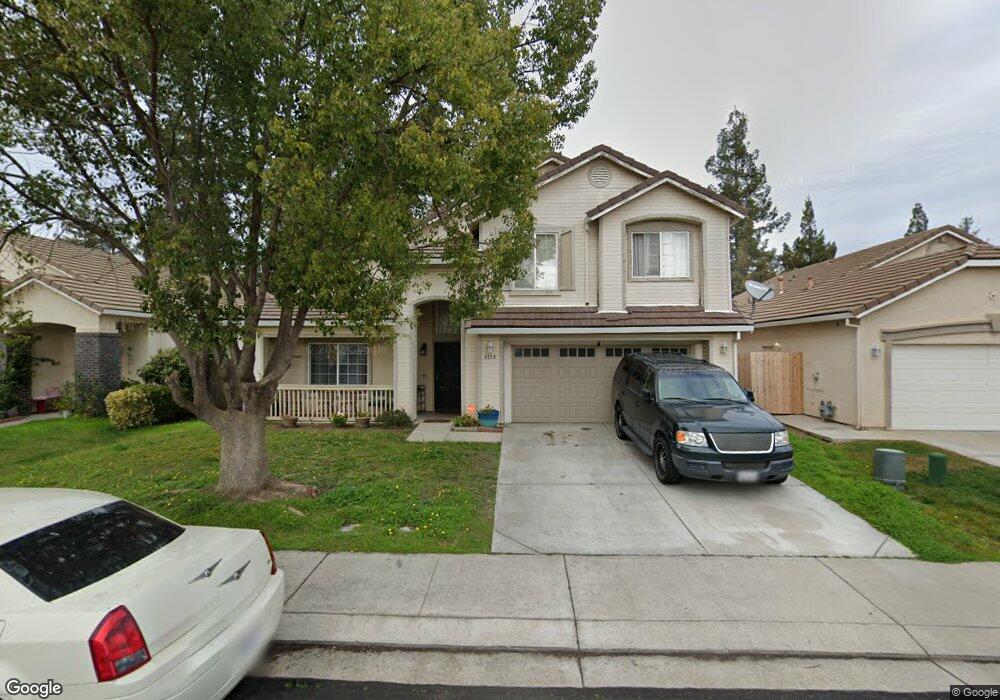
4138 Blake Cir Stockton, CA 95206
Weston Ranch NeighborhoodEstimated Value: $429,000 - $537,000
4
Beds
3
Baths
2,167
Sq Ft
$230/Sq Ft
Est. Value
About This Home
This home is located at 4138 Blake Cir, Stockton, CA 95206 and is currently estimated at $499,386, approximately $230 per square foot. 4138 Blake Cir is a home located in San Joaquin County with nearby schools including Great Valley Elementary School and Weston Ranch High School.
Ownership History
Date
Name
Owned For
Owner Type
Purchase Details
Closed on
May 29, 2001
Sold by
Westgate At Weston Ltd Partnership
Bought by
Snyder Mable
Current Estimated Value
Home Financials for this Owner
Home Financials are based on the most recent Mortgage that was taken out on this home.
Original Mortgage
$210,350
Outstanding Balance
$80,185
Interest Rate
7.15%
Estimated Equity
$419,201
Create a Home Valuation Report for This Property
The Home Valuation Report is an in-depth analysis detailing your home's value as well as a comparison with similar homes in the area
Home Values in the Area
Average Home Value in this Area
Purchase History
| Date | Buyer | Sale Price | Title Company |
|---|---|---|---|
| Snyder Mable | $221,500 | Central Valley Title Company |
Source: Public Records
Mortgage History
| Date | Status | Borrower | Loan Amount |
|---|---|---|---|
| Open | Snyder Mable | $210,350 |
Source: Public Records
Tax History Compared to Growth
Tax History
| Year | Tax Paid | Tax Assessment Tax Assessment Total Assessment is a certain percentage of the fair market value that is determined by local assessors to be the total taxable value of land and additions on the property. | Land | Improvement |
|---|---|---|---|---|
| 2025 | $4,582 | $333,642 | $37,665 | $295,977 |
| 2024 | $4,436 | $327,101 | $36,927 | $290,174 |
| 2023 | $4,293 | $320,688 | $36,203 | $284,485 |
| 2022 | $4,203 | $314,401 | $35,494 | $278,907 |
| 2021 | $4,131 | $308,238 | $34,799 | $273,439 |
| 2020 | $3,974 | $305,079 | $34,443 | $270,636 |
| 2019 | $3,912 | $299,098 | $33,768 | $265,330 |
| 2018 | $3,875 | $293,234 | $33,106 | $260,128 |
| 2017 | $3,810 | $287,485 | $32,457 | $255,028 |
| 2016 | $3,679 | $281,849 | $31,821 | $250,028 |
| 2014 | $4,085 | $230,000 | $69,000 | $161,000 |
Source: Public Records
Map
Nearby Homes
- 4144 Blake Cir
- 3812 Steve Lillie Cir
- 4154 Kassady Ct
- 703 Villanueva Ct
- 921 Kate Linde Cir
- 4303 Giselle Ln
- 4309 Blake Cir
- 627 Queensland Cir
- 971 Kate Linde Cir
- 3707 French Camp
- 1141 Klemeyer Cir
- 1131 Klemeyer Cir
- 761 Sandstone Dr
- 1044 Henry Long Blvd
- 1117 Glenmohr Ct
- 668 Flagstone Dr
- 624 Flagstone Dr
- 3412 Shogoro Ln
- 4116 Vercelli St
- 3677 Harvey Ave
- 4132 Blake Cir
- 714 William Moss Blvd
- 720 William Moss Blvd
- 4126 Blake Cir
- 4150 Blake Cir
- 710 William Moss Blvd
- 4104 Brodie Way
- 4105 Kassady Ct
- 4120 Blake Cir
- 4156 Blake Cir
- 706 William Moss Blvd
- 732 William Moss Blvd
- 4112 Brodie Way
- 4113 Kassady Ct
- 4114 Blake Cir
- 4162 Blake Cir
- 4103 Brodie Way
- 704 William Moss Blvd
- 738 William Moss Blvd
- 4157 Blake Cir