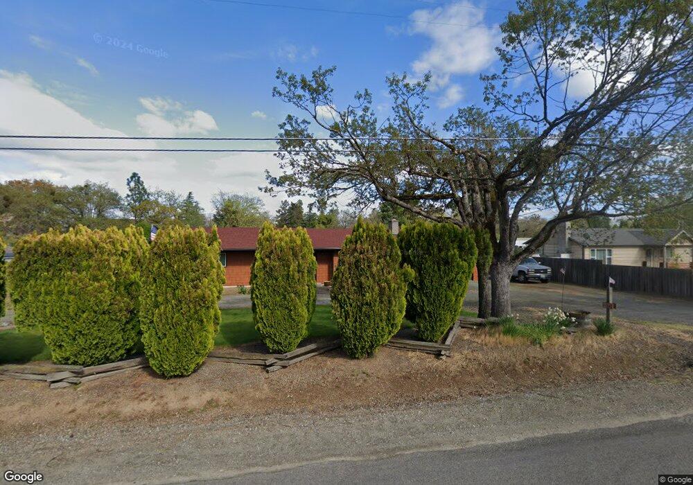
4138 Grant Rd Central Point, OR 97502
Estimated Value: $371,531 - $435,000
3
Beds
2
Baths
1,326
Sq Ft
$310/Sq Ft
Est. Value
About This Home
This home is located at 4138 Grant Rd, Central Point, OR 97502 and is currently estimated at $410,844, approximately $309 per square foot. 4138 Grant Rd is a home located in Jackson County with nearby schools including Richardson Elementary School, Scenic Middle School, and Crater High School.
Ownership History
Date
Name
Owned For
Owner Type
Purchase Details
Closed on
Aug 14, 2009
Sold by
Lathrop Craig D
Bought by
Lathrop Craig D and Lathrop Nancy J
Current Estimated Value
Home Financials for this Owner
Home Financials are based on the most recent Mortgage that was taken out on this home.
Original Mortgage
$150,000
Outstanding Balance
$96,395
Interest Rate
5.17%
Mortgage Type
Purchase Money Mortgage
Estimated Equity
$314,449
Purchase Details
Closed on
Jan 21, 2000
Sold by
Marvin Connie and Lathrop Connie
Bought by
Lathrop Craig D
Create a Home Valuation Report for This Property
The Home Valuation Report is an in-depth analysis detailing your home's value as well as a comparison with similar homes in the area
Purchase History
| Date | Buyer | Sale Price | Title Company |
|---|---|---|---|
| Lathrop Craig D | -- | Ticor Title | |
| Lathrop Craig D | -- | Amerititle |
Source: Public Records
Mortgage History
| Date | Status | Borrower | Loan Amount |
|---|---|---|---|
| Open | Lathrop Craig D | $150,000 |
Source: Public Records
Tax History
| Year | Tax Paid | Tax Assessment Tax Assessment Total Assessment is a certain percentage of the fair market value that is determined by local assessors to be the total taxable value of land and additions on the property. | Land | Improvement |
|---|---|---|---|---|
| 2026 | $2,982 | $244,270 | -- | -- |
| 2025 | $2,914 | $237,160 | $135,090 | $102,070 |
| 2024 | $2,914 | $230,260 | $94,330 | $135,930 |
| 2023 | $2,817 | $223,560 | $91,580 | $131,980 |
| 2022 | $2,757 | $223,560 | $91,580 | $131,980 |
| 2021 | $2,679 | $217,050 | $88,910 | $128,140 |
| 2020 | $2,601 | $210,730 | $86,320 | $124,410 |
| 2019 | $2,541 | $198,650 | $81,370 | $117,280 |
| 2018 | $2,462 | $192,870 | $79,000 | $113,870 |
| 2017 | $2,404 | $192,870 | $79,000 | $113,870 |
| 2016 | $2,333 | $181,810 | $74,470 | $107,340 |
| 2015 | $2,225 | $181,810 | $74,470 | $107,340 |
| 2014 | $2,172 | $171,380 | $70,190 | $101,190 |
Source: Public Records
Map
Nearby Homes
- 1134 Steamboat Dr
- 407 Silver Creek Dr
- 404 Silver Creek Dr
- 626 Griffin Oaks Dr
- 650 Golden Peak Dr
- 545 Bridge Creek Dr
- 0 Boulder Ridge St
- 1407 Rustler Peak St
- 420 Mayberry Ln
- 884 Mendolia Way
- 166 Nadine Ln
- 4626 N Pacific Hwy
- 356 Marian Ave Unit 40
- 349 W Pine St
- 342 Hazel St
- 209 Corcoran Ln
- 55 Crater Ln
- 1860 Cottonwood Dr
- 1855 Nancy Ave
- 3371 Freeland Rd
- 4164 Grant Rd
- 4118 Grant Rd
- 4175 Carlton Ave
- 4102 Grant Rd
- 4165 Carlton Ave
- 4147 Grant Rd
- 805 Buck Point St
- 4178 Grant Rd
- 803 Buck Point St
- 4080 Grant Rd
- 4163 Carlton Ave
- 2400 Tulane Ave
- 809 Buck Point St
- 807 Buck Point St
- 2395 Tulane Ave
- 2395 Tulane Ave
- 4131 Carlton Ave
- 2390 Tulane Ave
- 1129 Steamboat Dr
- 811 Buck Point St
Your Personal Tour Guide
Ask me questions while you tour the home.