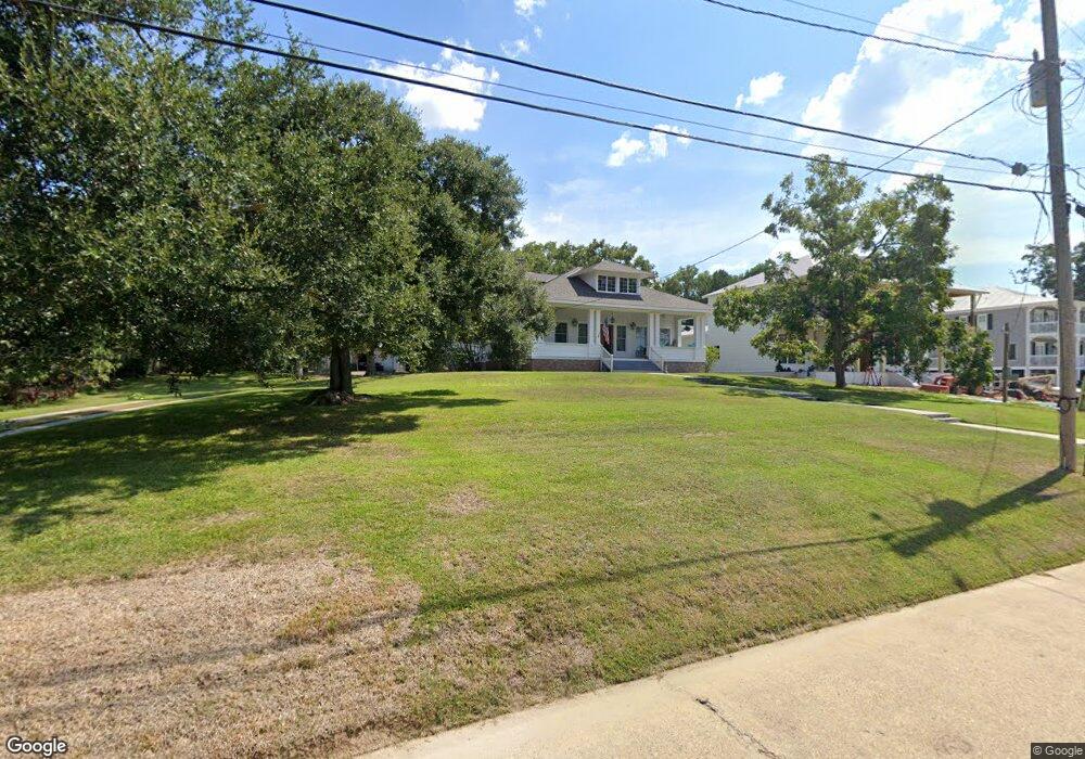
414 Martin Ave Ocean Springs, MS 39564
Estimated Value: $739,000 - $830,779
4
Beds
3
Baths
2,635
Sq Ft
$303/Sq Ft
Est. Value
About This Home
This home is located at 414 Martin Ave, Ocean Springs, MS 39564 and is currently estimated at $798,926, approximately $303 per square foot. 414 Martin Ave is a home located in Jackson County with nearby schools including Oak Park Elementary School, Ocean Springs Middle School, and Ocean Springs High School.
Ownership History
Date
Name
Owned For
Owner Type
Purchase Details
Closed on
Apr 21, 2020
Sold by
Hoomes Dorothy G
Bought by
Schavrien Scott C and Schavrien Joanna
Current Estimated Value
Home Financials for this Owner
Home Financials are based on the most recent Mortgage that was taken out on this home.
Original Mortgage
$430,000
Outstanding Balance
$381,644
Interest Rate
3.5%
Mortgage Type
New Conventional
Estimated Equity
$417,282
Purchase Details
Closed on
Dec 12, 2019
Sold by
Hoomes Ft
Bought by
Hoomes Dorothy G
Create a Home Valuation Report for This Property
The Home Valuation Report is an in-depth analysis detailing your home's value as well as a comparison with similar homes in the area
Home Values in the Area
Average Home Value in this Area
Purchase History
| Date | Buyer | Sale Price | Title Company |
|---|---|---|---|
| Schavrien Scott C | -- | None Available | |
| Hoomes Dorothy G | -- | None Available |
Source: Public Records
Mortgage History
| Date | Status | Borrower | Loan Amount |
|---|---|---|---|
| Open | Schavrien Scott C | $430,000 |
Source: Public Records
Tax History Compared to Growth
Tax History
| Year | Tax Paid | Tax Assessment Tax Assessment Total Assessment is a certain percentage of the fair market value that is determined by local assessors to be the total taxable value of land and additions on the property. | Land | Improvement |
|---|---|---|---|---|
| 2024 | $5,683 | $41,505 | $17,151 | $24,354 |
| 2023 | $5,683 | $41,505 | $17,151 | $24,354 |
| 2022 | $5,721 | $41,230 | $17,151 | $24,079 |
| 2021 | $5,648 | $41,313 | $17,151 | $24,162 |
| 2020 | $9,197 | $63,237 | $25,176 | $38,061 |
| 2019 | $5,021 | $42,158 | $16,784 | $25,374 |
| 2018 | $4,997 | $42,158 | $16,784 | $25,374 |
| 2017 | $4,976 | $42,019 | $16,784 | $25,235 |
| 2016 | $4,873 | $42,019 | $16,784 | $25,235 |
| 2015 | $4,044 | $356,100 | $167,840 | $188,260 |
| 2014 | $4,014 | $35,610 | $16,784 | $18,826 |
| 2013 | $3,924 | $35,610 | $16,784 | $18,826 |
Source: Public Records
Map
Nearby Homes
- 106 S Beach Dr
- Lot 5 S Beach Dr
- 411 Martin Ave
- 359 Butler Rd
- 413/415 Martin Ave
- 408 Oakwood Dr
- 416 Jackson Ave
- 207 Washington Ave
- 319 Washington Ave
- 516 Porter Ave
- 922 Porter Ave Unit 208
- 922 Porter Ave Unit 211
- 513 Front Beach Dr
- 310 Hillandale Ave
- 1203 Calhoun St
- 1204 Porter Ave
- 718 Signal St
- 109 Clark Ln
- 1115 Desoto St
- 1210 Harbor Rd
- 418 Martin Ave
- 406 Martin Ave
- 401 Ruskin Ave
- 420 Martin Ave
- 417 Martin Ave
- 0 Martin Unit 3195219
- 0 Martin Unit 3195220
- 0 Martin Unit 3217880
- 0 Martin Unit 3236359
- 407 Ruskin Ave
- 419 Martin Ave
- Lot 6 S Beach Dr
- 305 Front Beach Dr
- 309 Front Beach Dr
- Lot 7 S Beach Dr
- 422 Martin Ave
- 409 Ruskin Ave
- 315 Front Beach Dr
- 315 Front Beach Dr
- 303 Front Beach