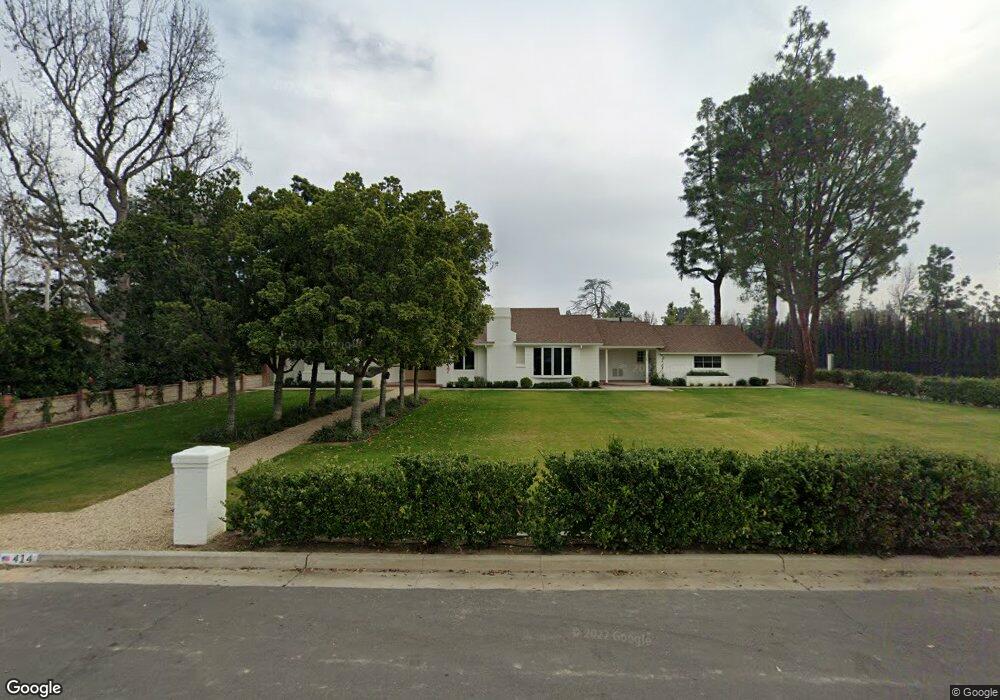
414 Mount Lowe Dr Bakersfield, CA 93309
Stockdale Estates NeighborhoodEstimated Value: $1,104,000 - $1,171,694
2
Beds
3
Baths
2,721
Sq Ft
$420/Sq Ft
Est. Value
About This Home
This home is located at 414 Mount Lowe Dr, Bakersfield, CA 93309 and is currently estimated at $1,142,898, approximately $420 per square foot. 414 Mount Lowe Dr is a home located in Kern County with nearby schools including Stockdale Elementary School, O.J. Actis Junior High School, and Bakersfield High School.
Ownership History
Date
Name
Owned For
Owner Type
Purchase Details
Closed on
Oct 3, 2018
Sold by
Crites Angus D and Crites Linda C
Bought by
Grimm Bryan Edward
Current Estimated Value
Purchase Details
Closed on
Aug 25, 2011
Sold by
Crites Angus D and Crites Linda C
Bought by
Crites Angus D and Crites Linda C
Create a Home Valuation Report for This Property
The Home Valuation Report is an in-depth analysis detailing your home's value as well as a comparison with similar homes in the area
Home Values in the Area
Average Home Value in this Area
Purchase History
| Date | Buyer | Sale Price | Title Company |
|---|---|---|---|
| Grimm Bryan Edward | $1,300,000 | Ticor Title Co | |
| Crites Angus D | -- | None Available | |
| Crites Angus D | -- | None Available |
Source: Public Records
Tax History
| Year | Tax Paid | Tax Assessment Tax Assessment Total Assessment is a certain percentage of the fair market value that is determined by local assessors to be the total taxable value of land and additions on the property. | Land | Improvement |
|---|---|---|---|---|
| 2025 | $13,204 | $1,065,772 | $557,756 | $508,016 |
| 2024 | $13,046 | $1,044,876 | $546,820 | $498,056 |
| 2023 | $13,046 | $1,024,390 | $536,099 | $488,291 |
| 2022 | $12,530 | $1,004,305 | $525,588 | $478,717 |
| 2021 | $12,329 | $984,614 | $515,283 | $469,331 |
| 2020 | $11,831 | $944,520 | $510,000 | $434,520 |
| 2019 | $11,688 | $944,520 | $510,000 | $434,520 |
| 2018 | $3,649 | $279,168 | $40,079 | $239,089 |
| 2017 | $3,510 | $273,695 | $39,294 | $234,401 |
| 2016 | $3,267 | $268,329 | $38,524 | $229,805 |
| 2015 | $3,249 | $264,300 | $37,946 | $226,354 |
| 2014 | $3,176 | $259,124 | $37,203 | $221,921 |
Source: Public Records
Map
Nearby Homes
- 841 Fairway Dr
- 944 Fairway Dr
- 958 Fairway Dr
- 6421 Mount Hood Dr
- 1110 Fairway Dr
- 416 River Oaks Dr
- 320 Hume Ln
- 604 River Oaks Dr
- 601 Vista Verde Way
- 1033 Tam o Shanter Dr
- 6309 Sundale Ave
- 6408 Glenrock Way
- 6216 Bel Aire Way
- 6405 Desert Hills Ave
- 7012 Mesa Verde Way
- 504 Pebble Beach Dr
- 100 Stockdale Cir
- 410 Mount Lowe Dr
- 404 Mount Lowe Dr
- 715 Fairway Dr
- 411 Fairway Dr
- 407 Fairway Dr
- 6609 Mount Shasta Dr
- 400 Mount Lowe Dr
- 405 Fairway Dr
- 801 Fairway Dr
- 401 Fairway Dr
- 2 Fairway Ct
- 410 Fairway Dr
- 800 Fairway Dr
- 408 Fairway Dr
- 314 Mount Lowe Dr
- 402 Fairway Dr
- 3 Fairway Ct
- 825 Fairway Dr
- 6515 Tevis Dr
- 6515 Mount Shasta Dr
Your Personal Tour Guide
Ask me questions while you tour the home.