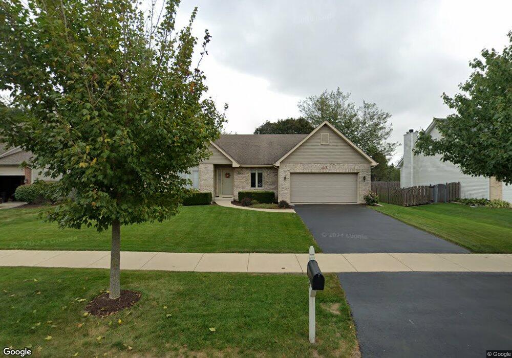
414 Windsor Dr Oswego, IL 60543
South Oswego NeighborhoodEstimated Value: $373,141 - $405,000
2
Beds
2
Baths
1,642
Sq Ft
$241/Sq Ft
Est. Value
About This Home
This home is located at 414 Windsor Dr, Oswego, IL 60543 and is currently estimated at $395,035, approximately $240 per square foot. 414 Windsor Dr is a home located in Kendall County with nearby schools including Prairie Point Elementary School, Traughber Junior High School, and Oswego High School.
Ownership History
Date
Name
Owned For
Owner Type
Purchase Details
Closed on
Jun 11, 1999
Sold by
Clark Edward J and Clark Judith A
Bought by
Clark Edward J and Clark Judith A
Current Estimated Value
Purchase Details
Closed on
Dec 29, 1998
Sold by
Wohead Steve
Bought by
Clark Edward J and Clark Judith A
Home Financials for this Owner
Home Financials are based on the most recent Mortgage that was taken out on this home.
Original Mortgage
$80,000
Outstanding Balance
$18,555
Interest Rate
6.76%
Estimated Equity
$376,480
Purchase Details
Closed on
Sep 3, 1998
Sold by
Deerpath Development Corp
Bought by
Wohead Steve
Create a Home Valuation Report for This Property
The Home Valuation Report is an in-depth analysis detailing your home's value as well as a comparison with similar homes in the area
Home Values in the Area
Average Home Value in this Area
Purchase History
| Date | Buyer | Sale Price | Title Company |
|---|---|---|---|
| Clark Edward J | -- | -- | |
| Clark Edward J | $160,500 | Chicago Title Insurance Co | |
| Wohead Steve | $32,000 | -- |
Source: Public Records
Mortgage History
| Date | Status | Borrower | Loan Amount |
|---|---|---|---|
| Open | Clark Edward J | $80,000 |
Source: Public Records
Tax History
| Year | Tax Paid | Tax Assessment Tax Assessment Total Assessment is a certain percentage of the fair market value that is determined by local assessors to be the total taxable value of land and additions on the property. | Land | Improvement |
|---|---|---|---|---|
| 2024 | $7,926 | $109,495 | $24,416 | $85,079 |
| 2023 | $6,962 | $96,898 | $21,607 | $75,291 |
| 2022 | $6,962 | $88,089 | $19,643 | $68,446 |
| 2021 | $6,675 | $82,326 | $18,358 | $63,968 |
| 2020 | $6,588 | $80,712 | $17,998 | $62,714 |
| 2019 | $6,406 | $77,726 | $17,998 | $59,728 |
| 2018 | $7,084 | $83,735 | $18,948 | $64,787 |
| 2017 | $6,896 | $78,257 | $17,708 | $60,549 |
| 2016 | $6,758 | $75,977 | $17,192 | $58,785 |
| 2015 | $6,926 | $74,487 | $16,855 | $57,632 |
| 2014 | -- | $72,317 | $16,364 | $55,953 |
| 2013 | -- | $72,317 | $16,364 | $55,953 |
Source: Public Records
Map
Nearby Homes
- 482 Deerfield Dr
- 483 Deerfield Dr
- 676 Cumberland Ln
- 668 Cumberland Ln
- 673 Cumberland Ln
- 770 Dartmouth Ln
- 851 Claridge Dr
- 777 Dartmouth Ln
- 875 Claridge Dr
- 514 Danbury Dr Unit 4
- 539 Sudbury Cir
- 204 Amherst Cir
- 711 Blossom Ct Unit 2
- 395 Danforth Dr
- 204 Dorset Ave
- 2253 Barbera Rd
- 2319 Hirsch Dr
- 6115 Rt 34
- 94 Templeton Dr
- 429 Prairieview Dr
- 416 Windsor Dr
- 412 Windsor Dr Unit 1
- 410 Windsor Dr
- 418 Windsor Dr
- 413 Windsor Dr
- 415 Windsor Dr
- 411 Windsor Dr
- 408 Windsor Dr
- 420 Windsor Dr
- 417 Windsor Dr
- 200 Cambridge Ct
- 419 Windsor Dr
- 484 Deerfield Dr
- 216 Cambridge Ct
- 422 Windsor Dr
- 212 Cambridge Ct Unit 1
- 204 Cambridge Ct
- 208 Cambridge Ct
- 399 Andover Dr
- 100 Bradford Ct
Your Personal Tour Guide
Ask me questions while you tour the home.