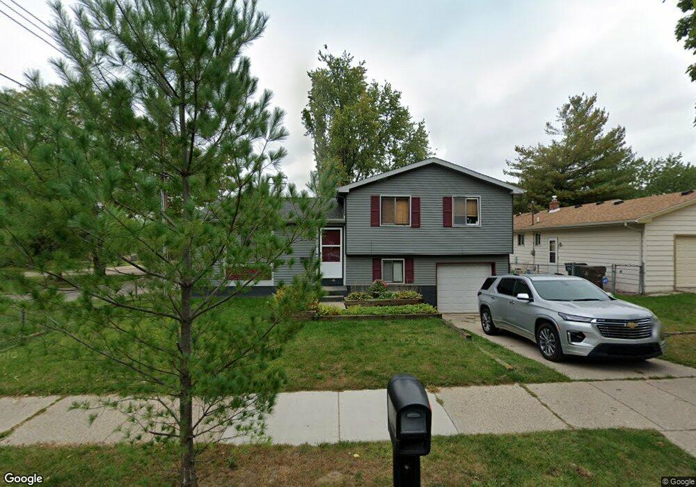
415 Dahlia Dr Lansing, MI 48911
Southern Lansing NeighborhoodEstimated Value: $180,334 - $207,000
--
Bed
1
Bath
1,181
Sq Ft
$166/Sq Ft
Est. Value
About This Home
This home is located at 415 Dahlia Dr, Lansing, MI 48911 and is currently estimated at $196,584, approximately $166 per square foot. 415 Dahlia Dr is a home located in Ingham County with nearby schools including Kendon School, Attwood School, and Everett High School.
Ownership History
Date
Name
Owned For
Owner Type
Purchase Details
Closed on
Oct 29, 2002
Sold by
Gage Alfred G and Gage Birdena L
Bought by
Foreman Marc D and Foreman Jody
Current Estimated Value
Home Financials for this Owner
Home Financials are based on the most recent Mortgage that was taken out on this home.
Original Mortgage
$118,900
Outstanding Balance
$50,095
Interest Rate
6.1%
Mortgage Type
Purchase Money Mortgage
Estimated Equity
$146,489
Create a Home Valuation Report for This Property
The Home Valuation Report is an in-depth analysis detailing your home's value as well as a comparison with similar homes in the area
Home Values in the Area
Average Home Value in this Area
Purchase History
| Date | Buyer | Sale Price | Title Company |
|---|---|---|---|
| Foreman Marc D | $118,900 | Transnation Title |
Source: Public Records
Mortgage History
| Date | Status | Borrower | Loan Amount |
|---|---|---|---|
| Open | Foreman Marc D | $118,900 |
Source: Public Records
Tax History Compared to Growth
Tax History
| Year | Tax Paid | Tax Assessment Tax Assessment Total Assessment is a certain percentage of the fair market value that is determined by local assessors to be the total taxable value of land and additions on the property. | Land | Improvement |
|---|---|---|---|---|
| 2025 | $2,793 | $85,800 | $11,200 | $74,600 |
| 2024 | $22 | $72,100 | $11,200 | $60,900 |
| 2023 | $2,620 | $62,200 | $11,200 | $51,000 |
| 2022 | $2,362 | $55,400 | $9,700 | $45,700 |
| 2021 | $2,313 | $54,200 | $7,400 | $46,800 |
| 2020 | $2,299 | $50,600 | $7,400 | $43,200 |
| 2019 | $2,203 | $45,500 | $7,400 | $38,100 |
| 2018 | $2,066 | $41,300 | $7,400 | $33,900 |
| 2017 | $1,977 | $41,300 | $7,400 | $33,900 |
| 2016 | $1,898 | $35,900 | $7,400 | $28,500 |
| 2015 | $1,898 | $33,900 | $14,892 | $19,008 |
| 2014 | $1,898 | $33,500 | $21,444 | $12,056 |
Source: Public Records
Map
Nearby Homes
- 5011 Stafford Ave
- 4800 Ora St
- 129 Village Dr
- 5006 Delbrook Ave
- 5026 Delray Dr Unit A
- 4935 Delray Dr
- 833 Dornell Ave
- 201 E Syringa Dr
- 5636 Ellendale Dr
- 105 Cox Blvd
- 0 W Jolly Rd
- 111 E Potter Ave
- 1014 W Northrup St
- 201 W Graham Ave
- 4407 Burchfield Ave
- 5727 Annapolis Dr
- 5821 Schafer Rd
- 600 W Cavanaugh Rd
- 4125 Lowcroft Ave
- 4114 Burchfield Dr
- 5201 Crocus Ave
- 5219 Crocus Ave
- 414 Dahlia Dr
- 5200 Crocus Ave
- 418 Dahlia Dr
- 5225 Crocus Ave
- 424 Dahlia Dr
- 5212 Crocus Ave
- 435 Dahlia Dr
- 434 Dahlia Dr
- 5218 Crocus Ave
- 5231 Crocus Ave
- 5224 Crocus Ave
- 5121 Peony Place
- 505 Dahlia Dr
- 5235 Crocus Ave
- 5213 Sunrose Ave
- 5230 Crocus Ave
- 419 W Jolly Rd
- 5115 Peony Place