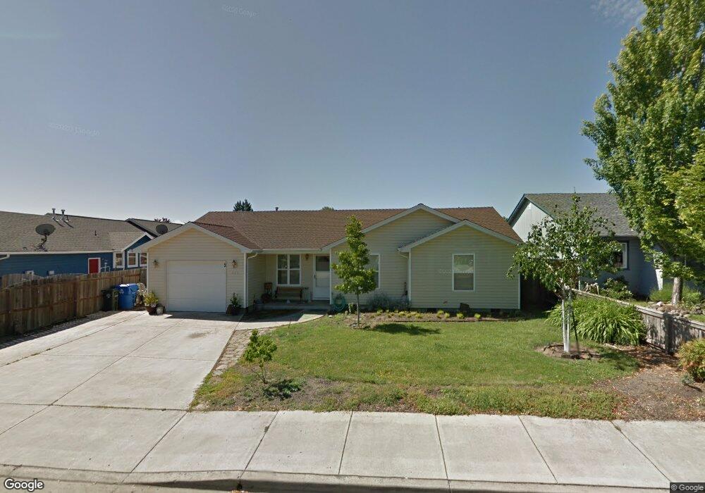
415 Merlee Cir Eagle Point, OR 97524
Estimated Value: $309,000 - $347,881
3
Beds
2
Baths
1,200
Sq Ft
$275/Sq Ft
Est. Value
About This Home
This home is located at 415 Merlee Cir, Eagle Point, OR 97524 and is currently estimated at $330,220, approximately $275 per square foot. 415 Merlee Cir is a home located in Jackson County with nearby schools including Eagle Rock Elementary School, Eagle Point Middle School, and White Mountain Middle School.
Ownership History
Date
Name
Owned For
Owner Type
Purchase Details
Closed on
Aug 4, 1999
Sold by
Broberg Kenneth N and Broberg Paulette
Bought by
Houck Kathy A
Current Estimated Value
Home Financials for this Owner
Home Financials are based on the most recent Mortgage that was taken out on this home.
Original Mortgage
$87,865
Outstanding Balance
$23,363
Interest Rate
7.64%
Mortgage Type
FHA
Estimated Equity
$306,857
Purchase Details
Closed on
Jul 26, 1999
Sold by
Miller Dion H and Miller Minerva B
Bought by
Broberg Kenneth N and Broberg Paulette
Home Financials for this Owner
Home Financials are based on the most recent Mortgage that was taken out on this home.
Original Mortgage
$87,865
Outstanding Balance
$23,363
Interest Rate
7.64%
Mortgage Type
FHA
Estimated Equity
$306,857
Create a Home Valuation Report for This Property
The Home Valuation Report is an in-depth analysis detailing your home's value as well as a comparison with similar homes in the area
Home Values in the Area
Average Home Value in this Area
Purchase History
| Date | Buyer | Sale Price | Title Company |
|---|---|---|---|
| Houck Kathy A | $88,000 | Jackson County Title | |
| Broberg Kenneth N | $25,000 | Jackson County Title |
Source: Public Records
Mortgage History
| Date | Status | Borrower | Loan Amount |
|---|---|---|---|
| Open | Houck Kathy A | $87,865 |
Source: Public Records
Tax History
| Year | Tax Paid | Tax Assessment Tax Assessment Total Assessment is a certain percentage of the fair market value that is determined by local assessors to be the total taxable value of land and additions on the property. | Land | Improvement |
|---|---|---|---|---|
| 2026 | $2,239 | $164,560 | -- | -- |
| 2025 | $2,186 | $159,770 | $104,510 | $55,260 |
| 2024 | $2,186 | $155,120 | $101,470 | $53,650 |
| 2023 | $2,112 | $150,610 | $98,520 | $52,090 |
| 2022 | $2,055 | $150,610 | $98,520 | $52,090 |
| 2021 | $1,994 | $146,230 | $95,660 | $50,570 |
| 2020 | $2,118 | $141,980 | $92,880 | $49,100 |
| 2019 | $2,086 | $133,840 | $87,560 | $46,280 |
| 2018 | $2,046 | $129,950 | $85,020 | $44,930 |
| 2017 | $1,996 | $129,950 | $85,020 | $44,930 |
| 2016 | $1,957 | $122,500 | $80,150 | $42,350 |
| 2015 | $1,893 | $122,500 | $80,150 | $42,350 |
| 2014 | $1,805 | $115,480 | $75,560 | $39,920 |
Source: Public Records
Map
Nearby Homes
- 250 Tierra Cir
- 71 Tracy Ave Unit 71 & 73
- 911 Stonewater Dr
- 917 Stonewater Dr
- 1023 Highlands Dr
- 912 Stonewater Dr
- 925 Sellwood Dr
- 403 N Deanjou Ave
- 407 N Deanjou Ave
- 426 Westminster Dr
- 318 S Buchanan Ave
- 438 Westminster Dr
- 110 Linton Way
- 208 Northview Dr Unit 1B
- 650 Sarah Ln
- 1017 Havenwood Dr
- 945 Win Way
- 633 E Archwood Dr Unit 89
- 633 E Archwood Dr Unit 86
- 633 E Archwood Dr Unit 44
Your Personal Tour Guide
Ask me questions while you tour the home.