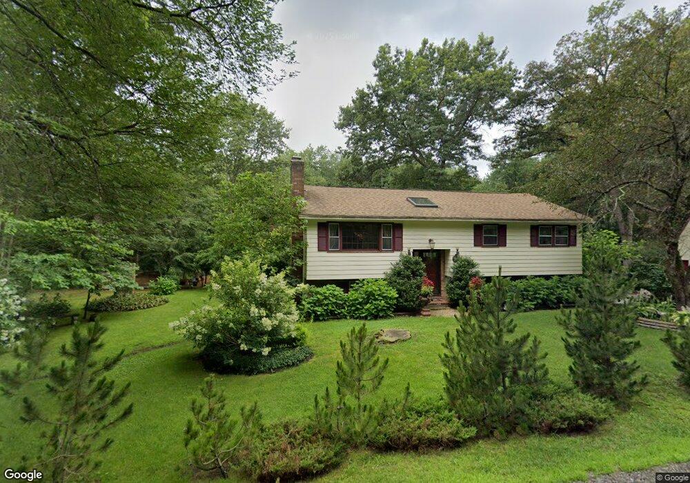
415 Windham Rd Pelham, NH 03076
Estimated Value: $493,000 - $543,000
3
Beds
2
Baths
1,432
Sq Ft
$364/Sq Ft
Est. Value
About This Home
This home is located at 415 Windham Rd, Pelham, NH 03076 and is currently estimated at $521,101, approximately $363 per square foot. 415 Windham Rd is a home with nearby schools including Pelham Elementary School, Pelham Memorial School, and Pelham High School.
Ownership History
Date
Name
Owned For
Owner Type
Purchase Details
Closed on
Nov 30, 2009
Sold by
Yannetti Michael F and Yannetti Mary S
Bought by
Guerra Pedro J and Estrada Maria E
Current Estimated Value
Home Financials for this Owner
Home Financials are based on the most recent Mortgage that was taken out on this home.
Original Mortgage
$150,000
Interest Rate
4.92%
Mortgage Type
Purchase Money Mortgage
Create a Home Valuation Report for This Property
The Home Valuation Report is an in-depth analysis detailing your home's value as well as a comparison with similar homes in the area
Home Values in the Area
Average Home Value in this Area
Purchase History
| Date | Buyer | Sale Price | Title Company |
|---|---|---|---|
| Guerra Pedro J | $200,000 | -- |
Source: Public Records
Mortgage History
| Date | Status | Borrower | Loan Amount |
|---|---|---|---|
| Open | Guerra Pedro J | $151,000 | |
| Closed | Guerra Pedro J | $25,000 | |
| Closed | Guerra Pedro J | $150,000 | |
| Previous Owner | Guerra Pedro J | $150,000 |
Source: Public Records
Tax History
| Year | Tax Paid | Tax Assessment Tax Assessment Total Assessment is a certain percentage of the fair market value that is determined by local assessors to be the total taxable value of land and additions on the property. | Land | Improvement |
|---|---|---|---|---|
| 2024 | $5,924 | $323,000 | $134,400 | $188,600 |
| 2023 | $5,875 | $323,000 | $134,400 | $188,600 |
| 2022 | $5,627 | $323,000 | $134,400 | $188,600 |
| 2021 | $5,134 | $321,700 | $134,400 | $187,300 |
| 2020 | $5,307 | $262,700 | $107,500 | $155,200 |
| 2019 | $5,096 | $262,700 | $107,500 | $155,200 |
| 2018 | $5,298 | $246,900 | $107,500 | $139,400 |
| 2017 | $5,296 | $246,900 | $107,500 | $139,400 |
| 2016 | $5,183 | $247,400 | $107,500 | $139,900 |
| 2015 | $5,171 | $222,300 | $102,100 | $120,200 |
| 2014 | $5,084 | $222,300 | $102,100 | $120,200 |
| 2013 | $5,084 | $222,300 | $102,100 | $120,200 |
Source: Public Records
Map
Nearby Homes
- 3 Harmony Ln
- 15 Kens Way
- 12 Shelly Dr
- 6 Hemlock Dr
- 1109 Mammoth Rd Unit A
- 94 Tanager Cir Unit 94
- 11 Venus Way
- 7 Venus Way Unit 22
- 22 Ryan Farm Rd
- 23 Ryan Farm Rd
- 2 Cypress Ln
- 7 Cypress Ln Unit 5
- 4 Cypress Ln Unit 10
- 84, 86, 88 Ryan Farm Rd Unit 1, 2, 3
- 4 Haystack Cir
- 210 Range Rd
- 1256 Mammoth Rd
- 50 Cobbetts Pond Rd
- 47 Cobbetts Pond Rd
- Lot 4 Canterbury Rd Unit 4
Your Personal Tour Guide
Ask me questions while you tour the home.