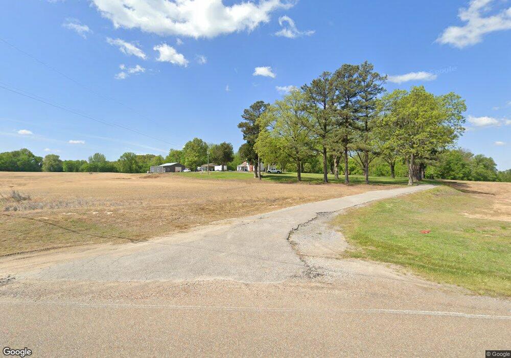
4153 Bride Rd Covington, TN 38019
Estimated Value: $152,000 - $293,000
Studio
2
Baths
2,852
Sq Ft
$86/Sq Ft
Est. Value
About This Home
This home is located at 4153 Bride Rd, Covington, TN 38019 and is currently estimated at $244,876, approximately $85 per square foot. 4153 Bride Rd is a home located in Tipton County with nearby schools including Crestview Elementary School, Crestview Middle School, and Covington High School.
Ownership History
Date
Name
Owned For
Owner Type
Purchase Details
Closed on
May 20, 2022
Sold by
Rice Justin and Rice Tracey
Bought by
Porter Michael S and Porter Tonya L
Current Estimated Value
Home Financials for this Owner
Home Financials are based on the most recent Mortgage that was taken out on this home.
Original Mortgage
$148,092
Interest Rate
4.72%
Mortgage Type
New Conventional
Purchase Details
Closed on
Nov 19, 2013
Sold by
Walk Marshall Hale
Bought by
Rice Justin and Rice Tracey
Home Financials for this Owner
Home Financials are based on the most recent Mortgage that was taken out on this home.
Original Mortgage
$61,812
Interest Rate
4.16%
Mortgage Type
Commercial
Purchase Details
Closed on
Oct 15, 2013
Bought by
Hale Walk Marshall and Walk Newkirk N
Home Financials for this Owner
Home Financials are based on the most recent Mortgage that was taken out on this home.
Original Mortgage
$61,812
Interest Rate
4.16%
Mortgage Type
Commercial
Purchase Details
Closed on
Apr 22, 1996
Sold by
Hollie Walk
Bought by
Walk Marshall H
Purchase Details
Closed on
Mar 21, 1975
Purchase Details
Closed on
Jan 1, 1975
Create a Home Valuation Report for This Property
The Home Valuation Report is an in-depth analysis detailing your home's value as well as a comparison with similar homes in the area
Purchase History
| Date | Buyer | Sale Price | Title Company |
|---|---|---|---|
| Porter Michael S | $140,000 | None Listed On Document | |
| Rice Justin | $60,000 | -- | |
| Hale Walk Marshall | -- | -- | |
| Walk Marshall H | -- | -- | |
| -- | -- | -- | |
| -- | $4,500 | -- |
Source: Public Records
Mortgage History
| Date | Status | Borrower | Loan Amount |
|---|---|---|---|
| Previous Owner | Porter Michael S | $148,092 | |
| Previous Owner | Rice Justin | $61,812 |
Source: Public Records
Tax History
| Year | Tax Paid | Tax Assessment Tax Assessment Total Assessment is a certain percentage of the fair market value that is determined by local assessors to be the total taxable value of land and additions on the property. | Land | Improvement |
|---|---|---|---|---|
| 2025 | $520 | $34,175 | $13,400 | $20,775 |
| 2024 | $520 | $34,175 | $13,400 | $20,775 |
| 2023 | $520 | $34,175 | $13,400 | $20,775 |
| 2022 | $670 | $32,825 | $10,775 | $22,050 |
| 2021 | $670 | $32,825 | $10,775 | $22,050 |
| 2020 | $669 | $32,825 | $10,775 | $22,050 |
| 2019 | $647 | $26,725 | $9,600 | $17,125 |
| 2018 | $647 | $26,725 | $9,600 | $17,125 |
| 2017 | $647 | $26,725 | $9,600 | $17,125 |
| 2016 | $647 | $26,725 | $9,600 | $17,125 |
| 2015 | $646 | $26,725 | $9,600 | $17,125 |
| 2014 | $646 | $26,740 | $0 | $0 |
Source: Public Records
Map
Nearby Homes
- 5442 Bride Rd
- 458 McLillie Ln
- 1980 Millstone Mountain Rd
- 4154 Tennessee 59
- 3528 Tennessee 59
- 754 Mcwilliams Rd
- 1766 Tennessee 59
- 0 Mcwilliams Rd
- 00 Mcwilliams Rd
- 127 Walton Loop
- 1321 Tennessee 59
- 417 Turner Ln
- 7218 Tennessee 59
- 89 Evans Rd
- 451 Yarbrough Rd
- 866 Deen Rd
- 163 Michelle St
- 597 Walton Loop
- 273 Daniel Dr
- 1015 Wortham Dr
Your Personal Tour Guide
Ask me questions while you tour the home.