Estimated Value: $172,000 - $194,000
--
Bed
--
Bath
1,216
Sq Ft
$150/Sq Ft
Est. Value
About This Home
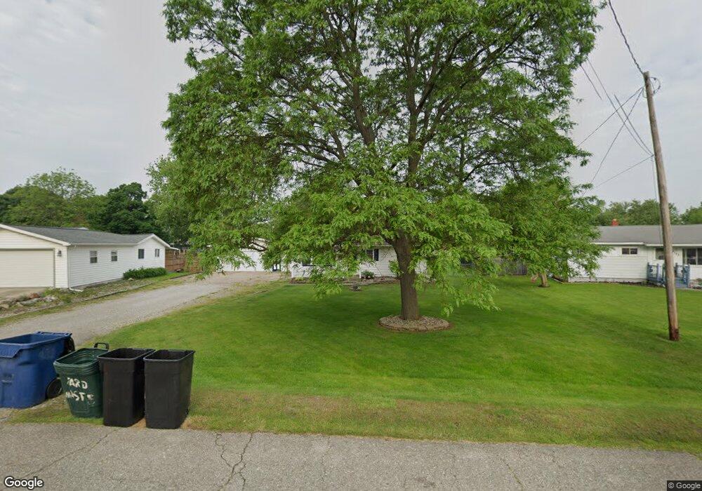
This home is located at 4155 Independence Dr, Flint, MI 48506 and is currently estimated at $182,045, approximately $149 per square foot. 4155 Independence Dr is a home located in Genesee County with nearby schools including Weston Elementary School, Leota Fiedler Elementary School, and Kate Dowdall Elementary School.
Ownership History
Date
Name
Owned For
Owner Type
Purchase Details
Closed on
Aug 13, 2021
Sold by
Mcinnes Hugh E and Mcinnes Sharon B
Bought by
Carrier Sean
Current Estimated Value
Home Financials for this Owner
Home Financials are based on the most recent Mortgage that was taken out on this home.
Original Mortgage
$152,000
Outstanding Balance
$137,916
Interest Rate
2.9%
Mortgage Type
New Conventional
Estimated Equity
$44,129
Create a Home Valuation Report for This Property
The Home Valuation Report is an in-depth analysis detailing your home's value as well as a comparison with similar homes in the area
Home Values in the Area
Average Home Value in this Area
Purchase History
| Date | Buyer | Sale Price | Title Company |
|---|---|---|---|
| Carrier Sean | $160,000 | First American Title |
Source: Public Records
Mortgage History
| Date | Status | Borrower | Loan Amount |
|---|---|---|---|
| Open | Carrier Sean | $152,000 |
Source: Public Records
Tax History Compared to Growth
Tax History
| Year | Tax Paid | Tax Assessment Tax Assessment Total Assessment is a certain percentage of the fair market value that is determined by local assessors to be the total taxable value of land and additions on the property. | Land | Improvement |
|---|---|---|---|---|
| 2025 | $2,964 | $85,100 | $0 | $0 |
| 2024 | $827 | $78,600 | $0 | $0 |
| 2023 | $789 | $69,900 | $0 | $0 |
| 2022 | $1,598 | $65,300 | $0 | $0 |
| 2021 | $1,168 | $51,200 | $0 | $0 |
| 2020 | $318 | $47,200 | $0 | $0 |
| 2019 | $313 | $42,200 | $0 | $0 |
| 2018 | $1,107 | $38,600 | $0 | $0 |
| 2017 | $1,072 | $37,400 | $0 | $0 |
| 2016 | $1,068 | $36,000 | $0 | $0 |
| 2015 | $864 | $34,200 | $0 | $0 |
| 2014 | $289 | $28,200 | $0 | $0 |
| 2012 | -- | $24,100 | $24,100 | $0 |
Source: Public Records
Map
Nearby Homes
- 6077 Crown Point
- 4062 N Belsay Rd
- 6298 Nightingale Dr
- 3454 Eastdale Dr
- 3389 Eastdale Dr
- 4156 Bobwhite Dr
- 6323 Bluejay Dr
- 3365 Eastdale Dr
- 6363 Bluejay Dr
- 6443 Richfield Rd
- 5467 Richfield Rd
- 5142 Berneda Dr
- 5429 Hopkins Rd
- 3485 N Vassar Rd
- 3201 Gehring Dr
- 3280 Lynne Ave
- 5111 Paro Dr
- 3247 Mills Acres St
- 3251 Lynne Ave
- 7020 E Carpenter Rd
- 4147 Independence Dr
- 4163 Independence Dr
- 4173 Independence Dr
- 6070 Concord Pass
- 6081 Stoney Point St
- 6078 Concord Pass
- 4135 Independence Dr
- 6067 Stoney Point St
- 6062 Concord Pass
- 4158 Independence Dr
- 6059 Stoney Point St
- 4148 Independence Dr
- 6114 Concord Pass
- 6056 Concord Pass
- 6049 Stoney Point St
- 6124 Concord Pass
- 4138 Independence Dr
- 6043 Stoney Point St
- 4123 Independence Dr
- 4187 Independence Dr