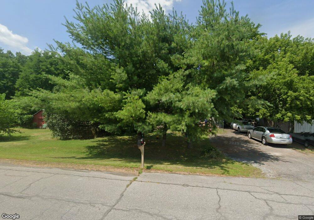
4157 State Route 30 Middleburgh, NY 12122
Estimated Value: $104,000 - $166,000
2
Beds
1
Bath
798
Sq Ft
$163/Sq Ft
Est. Value
About This Home
This home is located at 4157 State Route 30, Middleburgh, NY 12122 and is currently estimated at $130,185, approximately $163 per square foot. 4157 State Route 30 is a home located in Schoharie County with nearby schools including Middleburgh Elementary School, Middleburgh High School, and Country Classroom.
Ownership History
Date
Name
Owned For
Owner Type
Purchase Details
Closed on
Jan 3, 2011
Sold by
Sec Of Hud
Bought by
Anderson Anders
Current Estimated Value
Purchase Details
Closed on
May 27, 2010
Sold by
Wells Fargo Bank Na
Bought by
Sec Of Hud
Purchase Details
Closed on
May 17, 2010
Sold by
Fuller Calvin
Bought by
Wells Fargo Bank Na
Purchase Details
Closed on
Sep 17, 2003
Sold by
Smith Annabelle M
Bought by
Warner John R
Create a Home Valuation Report for This Property
The Home Valuation Report is an in-depth analysis detailing your home's value as well as a comparison with similar homes in the area
Home Values in the Area
Average Home Value in this Area
Purchase History
| Date | Buyer | Sale Price | Title Company |
|---|---|---|---|
| Anderson Anders | $34,200 | Anders Anderson | |
| Sec Of Hud | -- | Steven Baum | |
| Wells Fargo Bank Na | $94,343 | Steven Baum | |
| Warner John R | $35,000 | Raynor Duncombe |
Source: Public Records
Tax History Compared to Growth
Tax History
| Year | Tax Paid | Tax Assessment Tax Assessment Total Assessment is a certain percentage of the fair market value that is determined by local assessors to be the total taxable value of land and additions on the property. | Land | Improvement |
|---|---|---|---|---|
| 2024 | $2,334 | $45,000 | $10,300 | $34,700 |
| 2023 | $2,383 | $45,000 | $10,300 | $34,700 |
| 2022 | $2,452 | $45,000 | $10,300 | $34,700 |
| 2021 | $2,432 | $45,000 | $10,300 | $34,700 |
| 2020 | $2,418 | $45,000 | $10,300 | $34,700 |
| 2019 | $2,396 | $45,000 | $10,300 | $34,700 |
| 2018 | $2,396 | $45,000 | $10,300 | $34,700 |
| 2017 | $2,378 | $45,000 | $10,300 | $34,700 |
| 2016 | $2,353 | $45,000 | $10,300 | $34,700 |
| 2015 | -- | $45,000 | $10,300 | $34,700 |
| 2014 | -- | $45,000 | $10,300 | $34,700 |
Source: Public Records
Map
Nearby Homes
- 319 Main St
- 106 River St
- 107 Railroad Ave
- 200 Onistagrawa Ln
- L14.12 New York 30
- 136 Wells Ave
- 233 Main St
- L16 Mount Path
- 0 - L16 Mount Path
- 133 Marjorie Ln Unit 4
- 133 Marjorie Ln Unit 1
- 133 Marjorie Ln Unit 3
- 133 Marjorie Ln Unit 2
- 130 Marjorie Ln
- 177 Middlefort Rd
- 115 Marjorie Ln Unit 3
- 106.1-1-1. Cliffside Dr
- 2574 New York 145
- 2574 State Route 145
- 4515 State Route 30
- 109 Mill Valley Rd
- 111 Mill Valley Rd
- 115 Mill Valley Rd
- 110 Mill Valley Rd
- 116 Locust Grove Ln
- 108 V f w Ln
- 112 Locust Grove Ln
- 116 Mill Valley Rd
- 4170 New York 30 Unit 4
- 123 Mill Valley Rd
- 121 Mill Valley Rd
- 105 Locust Grove Ln
- 120 Mill Valley Rd
- 114 V f w Ln
- 114 Vfw La
- 114 V f w Ln
- 127 Mill Valley Rd
- 124 Mill Valley Rd
- 152 Church St
- 114 V F Ln W
