Estimated Value: $148,000 - $266,000
3
Beds
2
Baths
1,200
Sq Ft
$176/Sq Ft
Est. Value
About This Home
This home is located at 4159 P and M Dr, Evans, GA 30809 and is currently estimated at $211,703, approximately $176 per square foot. 4159 P and M Dr is a home located in Columbia County with nearby schools including River Ridge Elementary School, Stallings Island Middle School, and Lakeside High School.
Ownership History
Date
Name
Owned For
Owner Type
Purchase Details
Closed on
Jan 28, 2015
Sold by
Zapata Mike
Bought by
Fillgrove Heatherly D
Current Estimated Value
Purchase Details
Closed on
Apr 9, 2012
Sold by
Southern Specialty Props Llc
Bought by
Zapata Mike
Purchase Details
Closed on
Jul 6, 2010
Sold by
Wells Fargo Bank
Bought by
The Sec Of Housing & U
Purchase Details
Closed on
Aug 6, 2009
Sold by
Widener Ryan M
Bought by
Kersey Jesse J
Home Financials for this Owner
Home Financials are based on the most recent Mortgage that was taken out on this home.
Original Mortgage
$73,542
Interest Rate
5.19%
Mortgage Type
FHA
Purchase Details
Closed on
Jun 22, 2005
Sold by
Owenby Ronald E
Bought by
Jones Robert A
Home Financials for this Owner
Home Financials are based on the most recent Mortgage that was taken out on this home.
Original Mortgage
$60,000
Interest Rate
7.63%
Mortgage Type
New Conventional
Create a Home Valuation Report for This Property
The Home Valuation Report is an in-depth analysis detailing your home's value as well as a comparison with similar homes in the area
Home Values in the Area
Average Home Value in this Area
Purchase History
| Date | Buyer | Sale Price | Title Company |
|---|---|---|---|
| Fillgrove Heatherly D | $73,500 | -- | |
| Zapata Mike | $16,400 | -- | |
| The Sec Of Housing & U | -- | -- | |
| Kersey Jesse J | $74,900 | -- | |
| Jones Robert A | $75,000 | -- |
Source: Public Records
Mortgage History
| Date | Status | Borrower | Loan Amount |
|---|---|---|---|
| Previous Owner | Kersey Jesse J | $73,542 | |
| Previous Owner | Jones Robert A | $60,000 | |
| Previous Owner | Jones Robert A | $15,000 |
Source: Public Records
Tax History Compared to Growth
Tax History
| Year | Tax Paid | Tax Assessment Tax Assessment Total Assessment is a certain percentage of the fair market value that is determined by local assessors to be the total taxable value of land and additions on the property. | Land | Improvement |
|---|---|---|---|---|
| 2025 | $1,185 | $51,695 | $12,897 | $38,798 |
| 2024 | $1,184 | $49,390 | $12,897 | $36,493 |
| 2023 | $576 | $42,213 | $7,046 | $35,167 |
| 2022 | $995 | $40,264 | $7,046 | $33,218 |
| 2021 | $935 | $36,340 | $6,774 | $29,566 |
| 2020 | $960 | $36,527 | $6,781 | $29,746 |
| 2019 | $906 | $34,594 | $6,781 | $27,813 |
| 2018 | $883 | $33,615 | $6,781 | $26,834 |
| 2017 | $892 | $33,827 | $6,781 | $27,046 |
| 2016 | $792 | $29,400 | $5,742 | $23,658 |
| 2015 | $177 | $6,560 | $5,169 | $1,391 |
| 2014 | $179 | $6,560 | $6,560 | $0 |
Source: Public Records
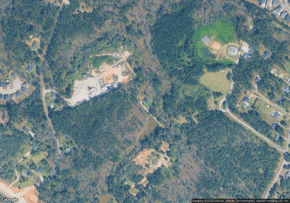
Map
Nearby Homes
- 116 Hornsby Ln
- 1212 Arcilla Pointe
- 2049 Egret Cir
- 4020 Firethorn Ct
- 731 Summerfield Abbey Ct
- 239 Dixon Ct
- 519 Seminole Place
- 615 Saw Grass Dr
- 694 Woodhall Abbey Ct
- 4110 Heritage Ridge
- 3468 Pinnacle Ct
- 1015 Sluice Gate Dr
- 1027 Sluice Gate Dr
- 619 Baytree Ct
- 615 Baytree Ct
- 440 Jade Dr
- 735 Michaels Creek
- 210 Oleander Trail
- 811 Audubon Way
- 905 Nerium Trail
- 4159 P & M Dr
- 3887 Blackstone Camp Rd
- 3891 Blackstone Camp Rd
- 3883 Blackstone Camp Rd
- 3881 Blackstone Camp Rd
- 3901 Blackstone Camp Rd
- 3877 Blackstone Camp Rd
- 3886 Blackstone Camp Rd
- 3873 Blackstone Camp Rd
- 3940 Blackstone Camp Rd
- 3876 Blackstone Camp Rd
- 3787 Freeman Dr
- 3792 Freeman Dr
- 3879 Blackstone Camp Rd
- 3794 Madison Dr
- 3869 Blackstone Camp Rd
- 3870 Blackstone Camp Rd
- 3791 Madison Dr
- 3792 Madison Dr
- 3785 Freeman Dr