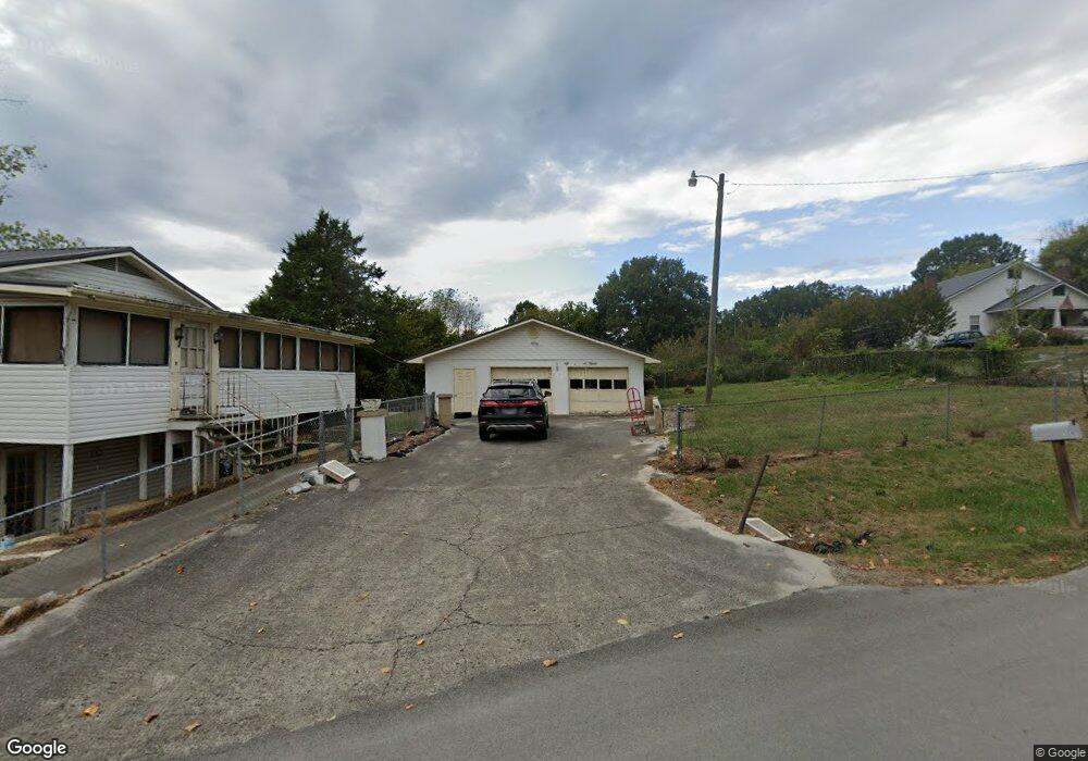
416 Cedar Ave Luttrell, TN 37779
Estimated Value: $181,000 - $255,286
3
Beds
2
Baths
2,120
Sq Ft
$99/Sq Ft
Est. Value
About This Home
This home is located at 416 Cedar Ave, Luttrell, TN 37779 and is currently estimated at $209,322, approximately $98 per square foot. 416 Cedar Ave is a home located in Union County with nearby schools including Luttrell Elementary School, H Maynard Middle School, and Union County High School.
Ownership History
Date
Name
Owned For
Owner Type
Purchase Details
Closed on
Mar 31, 2010
Sold by
Clevenger Ruby
Bought by
Roland Robert D
Current Estimated Value
Purchase Details
Closed on
Mar 17, 1987
Bought by
Clevenger Herbert
Create a Home Valuation Report for This Property
The Home Valuation Report is an in-depth analysis detailing your home's value as well as a comparison with similar homes in the area
Home Values in the Area
Average Home Value in this Area
Purchase History
| Date | Buyer | Sale Price | Title Company |
|---|---|---|---|
| Roland Robert D | $65,000 | -- | |
| Roland Robert D | $65,000 | -- | |
| Clevenger Herbert | -- | -- | |
| Clevenger Herbert | -- | -- |
Source: Public Records
Tax History
| Year | Tax Paid | Tax Assessment Tax Assessment Total Assessment is a certain percentage of the fair market value that is determined by local assessors to be the total taxable value of land and additions on the property. | Land | Improvement |
|---|---|---|---|---|
| 2025 | $648 | $34,125 | $3,950 | $30,175 |
| 2024 | $648 | $34,125 | $3,950 | $30,175 |
| 2023 | $648 | $34,125 | $3,950 | $30,175 |
| 2022 | $543 | $34,125 | $3,950 | $30,175 |
| 2021 | $567 | $26,475 | $3,250 | $23,225 |
| 2020 | $567 | $26,475 | $3,250 | $23,225 |
| 2019 | $567 | $26,475 | $3,250 | $23,225 |
| 2018 | $567 | $26,475 | $3,250 | $23,225 |
| 2017 | $595 | $27,800 | $3,250 | $24,550 |
| 2016 | $512 | $23,575 | $3,250 | $20,325 |
| 2015 | $512 | $23,575 | $3,250 | $20,325 |
| 2014 | $422 | $23,578 | $0 | $0 |
Source: Public Records
Map
Nearby Homes
- 3528 Highway 61 E
- 3243 Highway 61 E
- 0 Wolfenbarger Tract 1 Unit 1294792
- 3002 Highway 61 E
- 0 Tazewell Pike Unit 1312170
- 738 & 742 Archer Rd
- 295 Archer Rd
- 417 Wolfe Rd
- 1617 Bull Run Rd
- 204 Archer Rd
- 505 Mckinney Rd
- 0 Washington Pike Unit 1228004
- 295 Clear Branch Rd
- 10728 Mountain Rd
- 259 Little Tater Valley Rd
- 0 Long Acres Rd Unit 1319102
- 208 Mountain Rd
- 110 Wenger Park Ln
- 388 Damewood Hollow Rd
- 319 Tater Valley Rd
- 415 Cedar Ave
- 404 Cedar Ave
- 417 Cedar Ave
- 209 Grace Ave
- 0 Tennessee 61
- 215 Grace Ave
- 105 Luttrell Main St
- 0 Clinch Valley Hwy 13
- 145 Union Ave
- 104 Hill St
- 315 Cedar Ave
- 212 Grace Ave
- 125 Union Ave
- 202 Luttrell Main St
- 216 Grace Ave
- 216 Grace Ave
- 210 Hill St
- 3511 Highway 61 E
- 120 Union Ave
- 3510 Highway 61 E
Your Personal Tour Guide
Ask me questions while you tour the home.