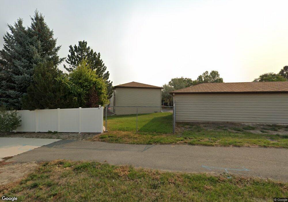
417 Paxon St Helena, MT 59602
North West NeighborhoodEstimated Value: $779,000
8
Beds
--
Bath
1,872
Sq Ft
$416/Sq Ft
Est. Value
About This Home
This home is located at 417 Paxon St, Helena, MT 59602 and is currently estimated at $779,000, approximately $416 per square foot. 417 Paxon St is a home located in Lewis and Clark County with nearby schools including Four Georgians Elementary School, C.R. Anderson Middle School, and Helena Christian Academy.
Ownership History
Date
Name
Owned For
Owner Type
Purchase Details
Closed on
Aug 15, 2018
Sold by
Boka Lane J
Bought by
Boka Rentals Llc
Current Estimated Value
Purchase Details
Closed on
Jun 7, 2018
Sold by
Giese Eugene R and Estate Of Yovonne F Giese
Bought by
Boka Lana J
Home Financials for this Owner
Home Financials are based on the most recent Mortgage that was taken out on this home.
Original Mortgage
$389,809
Outstanding Balance
$334,182
Interest Rate
4.12%
Mortgage Type
FHA
Estimated Equity
$444,818
Create a Home Valuation Report for This Property
The Home Valuation Report is an in-depth analysis detailing your home's value as well as a comparison with similar homes in the area
Home Values in the Area
Average Home Value in this Area
Purchase History
| Date | Buyer | Sale Price | Title Company |
|---|---|---|---|
| Boka Rentals Llc | -- | First Montana Land Title | |
| Boka Lana J | -- | First Montana Land Title |
Source: Public Records
Mortgage History
| Date | Status | Borrower | Loan Amount |
|---|---|---|---|
| Open | Boka Lana J | $389,809 |
Source: Public Records
Tax History Compared to Growth
Tax History
| Year | Tax Paid | Tax Assessment Tax Assessment Total Assessment is a certain percentage of the fair market value that is determined by local assessors to be the total taxable value of land and additions on the property. | Land | Improvement |
|---|---|---|---|---|
| 2025 | $2,943 | $506,400 | $0 | $0 |
| 2024 | $4,826 | $501,300 | $0 | $0 |
| 2023 | $6,098 | $501,300 | $0 | $0 |
| 2022 | $5,574 | $387,800 | $0 | $0 |
| 2021 | $4,320 | $387,800 | $0 | $0 |
| 2020 | $5,495 | $379,400 | $0 | $0 |
| 2019 | $5,500 | $379,400 | $0 | $0 |
| 2018 | $4,850 | $326,400 | $0 | $0 |
| 2017 | $3,284 | $326,400 | $0 | $0 |
| 2016 | $4,544 | $340,700 | $0 | $0 |
| 2015 | $3,495 | $340,700 | $0 | $0 |
| 2014 | $3,507 | $189,251 | $0 | $0 |
Source: Public Records
Map
Nearby Homes
- 364 Northgate Loop
- 416 W Custer Ave
- 455 Russell Ln
- 360 Barney St Unit C
- 350 Barney St Unit A
- 340 Barney St Unit A
- 310 Barney St Unit B
- 137 Elmwood Ln
- 201 Northgate Loop
- 108 Ridgewood Ln
- 59 Cloverview Dr
- 3000 Villard Ave Unit 149
- 3000 Villard Ave Unit 80
- 99 Greenwood Dr
- 2509 Teakwood Ln
- 680 Nighthawk St
- 246 Hartley St
- 3490 Blackhawk St
- 913 Expedition Trail
- 909 Expedition Trail
- 417 Paxon St Unit 411-413-415-417 Paxo
- 3200 Dunlap Dr
- 419 Paxon St
- 406 Russell Ln
- 400 Russell Ln
- 3206 Dunlap Dr
- 412 Russell Ln
- 391 Northgate Loop
- 3235 Gateway Dr
- 424 Paxon St
- 418 Russell Ln
- 3245 Gateway Dr
- 3212 Dunlap Dr
- 429 Paxon St
- 381 Northgate Loop
- 424 Russell Ln
- 3215 Dunlap Dr
- 430 Paxon St
- 407 Russell Ln
- 401 Russell Ln