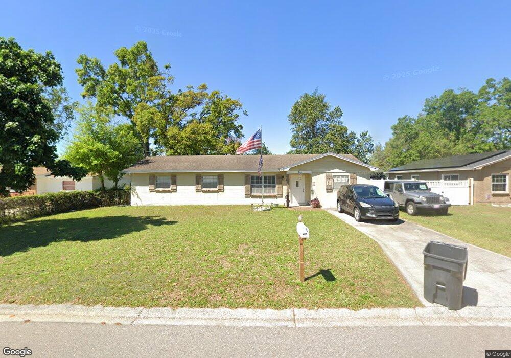
417 Shamrock Rd Brandon, FL 33511
Estimated Value: $281,589 - $306,000
4
Beds
2
Baths
1,500
Sq Ft
$199/Sq Ft
Est. Value
About This Home
This home is located at 417 Shamrock Rd, Brandon, FL 33511 and is currently estimated at $298,147, approximately $198 per square foot. 417 Shamrock Rd is a home located in Hillsborough County with nearby schools including Yates Elementary School, Mann Middle School, and Brandon High School.
Ownership History
Date
Name
Owned For
Owner Type
Purchase Details
Closed on
Dec 20, 2018
Sold by
Kelley Nancy Lee and Jones Barbara Anne
Bought by
Denning Terry
Current Estimated Value
Home Financials for this Owner
Home Financials are based on the most recent Mortgage that was taken out on this home.
Original Mortgage
$178,480
Outstanding Balance
$157,245
Interest Rate
4.8%
Mortgage Type
New Conventional
Estimated Equity
$140,902
Purchase Details
Closed on
Dec 22, 1995
Sold by
Kuechler Alan M and Kuechler B
Bought by
Kelley Nancy L and Jones Barbara A
Create a Home Valuation Report for This Property
The Home Valuation Report is an in-depth analysis detailing your home's value as well as a comparison with similar homes in the area
Home Values in the Area
Average Home Value in this Area
Purchase History
| Date | Buyer | Sale Price | Title Company |
|---|---|---|---|
| Denning Terry | $184,000 | Hillsborough Title Inc | |
| Kelley Nancy L | $100 | -- |
Source: Public Records
Mortgage History
| Date | Status | Borrower | Loan Amount |
|---|---|---|---|
| Open | Denning Terry | $178,480 |
Source: Public Records
Tax History Compared to Growth
Tax History
| Year | Tax Paid | Tax Assessment Tax Assessment Total Assessment is a certain percentage of the fair market value that is determined by local assessors to be the total taxable value of land and additions on the property. | Land | Improvement |
|---|---|---|---|---|
| 2024 | $2,250 | $139,467 | -- | -- |
| 2023 | $2,144 | $135,405 | $0 | $0 |
| 2022 | $1,997 | $131,461 | $0 | $0 |
| 2021 | $1,965 | $127,632 | $0 | $0 |
| 2020 | $1,884 | $125,870 | $31,616 | $94,254 |
| 2019 | $1,843 | $125,651 | $31,616 | $94,035 |
| 2018 | $1,938 | $100,044 | $0 | $0 |
| 2017 | $1,760 | $84,832 | $0 | $0 |
| 2016 | $1,623 | $69,954 | $0 | $0 |
| 2015 | $1,433 | $63,595 | $0 | $0 |
| 2014 | $1,433 | $57,814 | $0 | $0 |
| 2013 | $1,285 | $52,558 | $0 | $0 |
Source: Public Records
Map
Nearby Homes
- 1107 Southside Dr
- 1105 Briarwood Rd
- 1029 Sonesta Ave
- 529 Tuscanny St
- 0 Dew Bloom Rd Unit MFRL4947412
- 607 Tuscanny St
- 808 Vittorio Place
- 401 2nd St
- 506 Third St
- 312 2nd St
- 812 Viscount St
- 501 Third St
- 736 Tuscanny St
- 504 Fourth St
- 301 2nd St
- 306 Third St
- 505 Fourth St
- 511 Fourth St
- 1044 Oliveto Verdi Ct
- 410 5th St
- 415 Shamrock Rd
- 419 Shamrock Rd
- 518 Clearfield Rd
- 516 Clearfield Rd
- 520 Clearfield Rd
- 413 Shamrock Rd
- 418 Shamrock Rd
- 420 Shamrock Rd
- 514 Clearfield Rd
- 416 Shamrock Rd Unit 1
- 422 Shamrock Rd
- 501 Shamrock Rd
- 414 Shamrock Rd
- 512 Clearfield Rd
- 411 Shamrock Rd
- 527 Clearfield Rd
- 502 Shamrock Rd
- 511 Clearfield Rd
- 513 Clearfield Rd